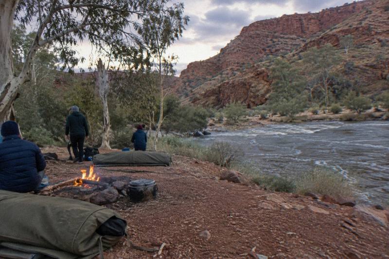
What Is The Best Part Of The Larapinta Trail For A Day Hike?
The Larapinta Trail runs over 230 km across the West MacDonnell Ranges, but a day walker only needs one section. Here is how to pick it by length, grade and the gorge waiting at the end.
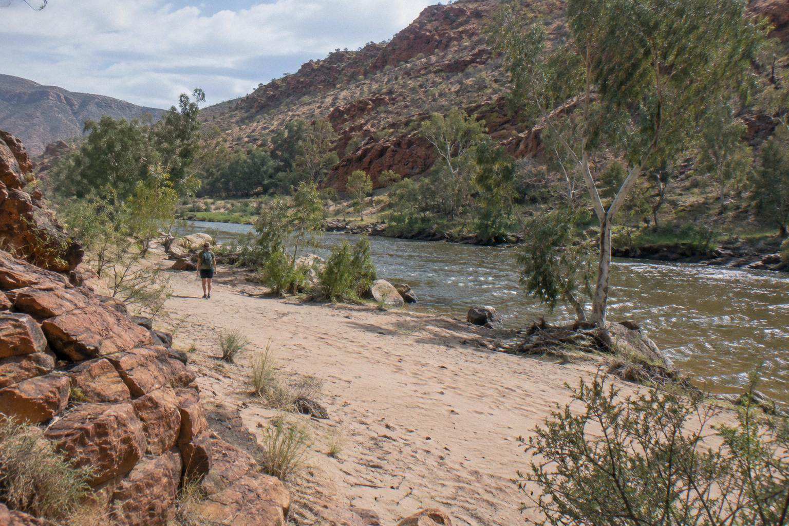
The best part for a day hike is Section 10, from Ormiston Gorge to the Finke River: it is the shortest section on the whole trail at 8.9 km, the park recommends about four hours for it, and it starts at a permanent waterhole 500 m from a visitor centre with a ranger station, toilets and showers. You get a full Larapinta walking day, a cold swim at the far end, and sealed road access 135 km from Alice Springs. Sections 3 and 7 are close rivals, both under 13 km, but neither trailhead pairs a gorge, a campground and a ranger station the way Ormiston does.
The Larapinta Trail is over 230 km long, split into 12 sections of one to two days each, running from the Alice Springs Telegraph Station to the summit of Mount Sonder. That scale is exactly why day walkers get confused: the famous end-to-end photos make the trail look like an all-or-nothing project, when in reality the track is a chain of independent stages with road access at nearly every junction. Each trailhead sits on or near Larapinta Drive or Namatjira Drive, the two sealed routes that run west out of Alice Springs through Tjoritja / West MacDonnell National Park.
Picking a section comes down to three numbers and one preference. The numbers are the section length in kilometres, the recommended walking hours, and the grade. The preference is which gorge, waterhole or lookout you want waiting at the end, because on the Larapinta the destination genuinely carries the day. A 13 km walk that finishes at a permanent waterhole feels different from a 13 km walk that finishes at a dry river crossing, even at the same grade.
If your day hike is really a test run for a longer walk, the section you choose matters even more. It tells you how your feet handle the quartzite track surface, how you cope with the exposure, and whether the cooler months of April to September, the season the park itself recommends, suit your pace. Many walkers do one section as a sampler and then book a guided trek such as the five-day Larapinta safari, which picks up at Alice Springs hotels and walks roughly 14 km across grade 2 to 5 terrain from a private campsite on traditional land.
For visitors who want the ranges without committing to a trail section at all, a coached gorge day trip covers Simpsons Gap, Standley Chasm and the western waterholes in nine hours, and that comparison is worth making before you lace up. The question this article answers is narrower: which piece of the Larapinta itself gives the best single day on foot. On West MacDonnell Ranges Tours the day-walk question comes up constantly, and the honest answer starts with the section table, not with marketing superlatives.
Which Sections Are The Shortest And Easiest For A Day Hike?
Six of the 12 sections come in at 14.9 km or less, and the four shortest are Section 10 at 8.9 km, Section 7 at 12.8 km, Section 8 at 13 km and Section 3 at 13.6 km. Of those, Section 10 has the lightest recommended load at four hours, Sections 3 and 7 sit around five to five and a half hours, and Section 8 is also listed at five and a half hours. Grades run from 4 upward on the published list, which the park treats as demanding in places, so none of these are flat strolls even when the distance is short.
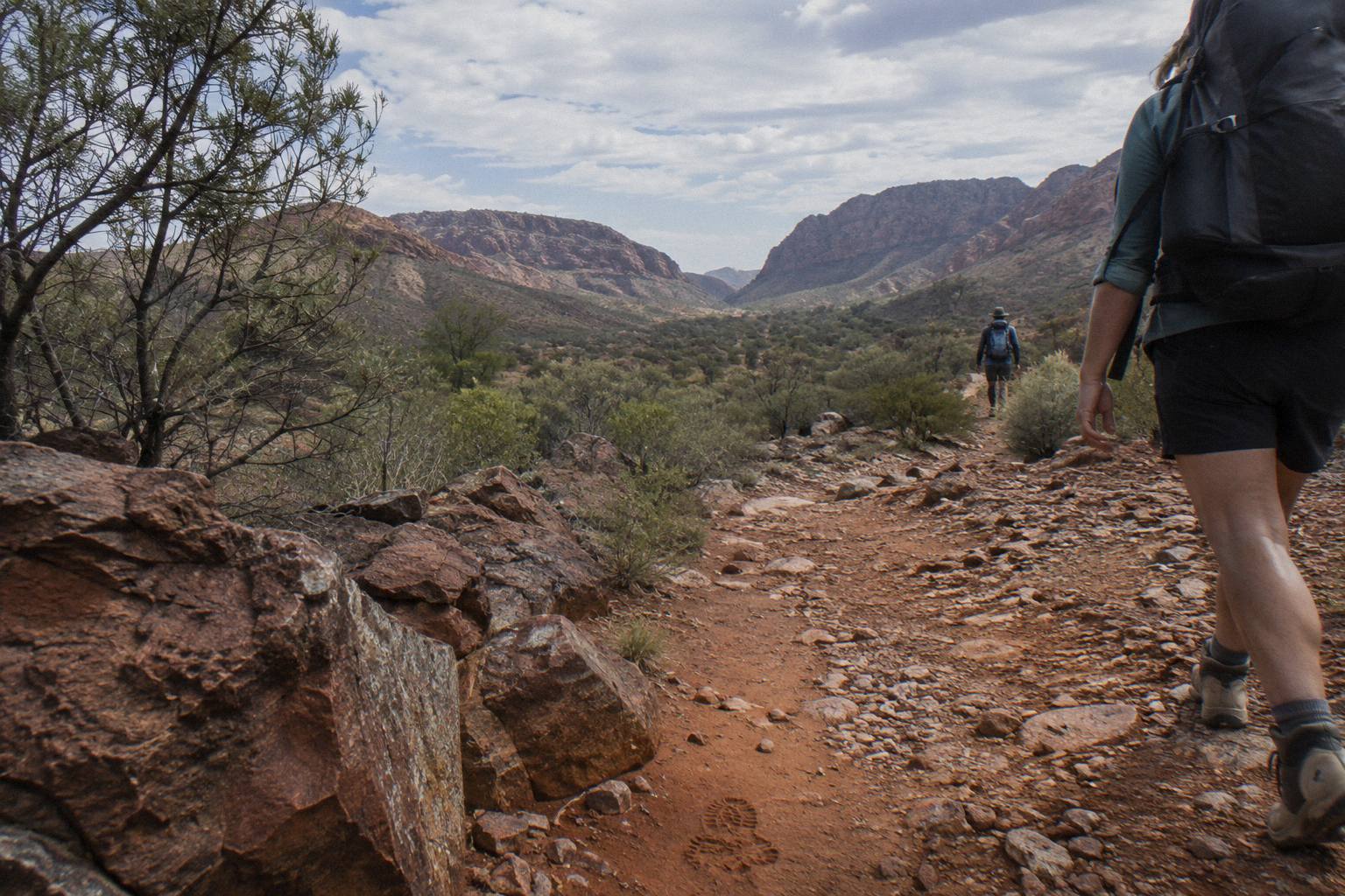
Here is the full picture of the short end of the trail, straight from the park's own section list:
| Section | Route | Distance | Recommended hours | Grade |
|---|---|---|---|---|
| 10 | Ormiston Gorge to Finke River | 8.9 km | 4 | Not listed |
| 7 | Ellery Creek North to Serpentine Gorge | 12.8 km | 5 | 4 |
| 8 | Serpentine Gorge to Serpentine Chalet Dam | 13.0 km | 5.5 | Not listed |
| 3 | Jay Creek to Standley Chasm | 13.6 km | 5.5 | 4 |
| 5 | Birthday Waterhole to Hugh Gorge | 14.9 km | 9.5 | 5 |
Two patterns jump out of that table. First, kilometres and hours do not move together: Section 3 covers half a kilometre more than Section 8 yet is given the same time, while Section 5 at 14.9 km is budgeted at nine and a half hours because of its grade 5 rating. Second, the shortest section on paper, Section 10, is also the one with the best infrastructure at its start, which is why it keeps coming up as the answer for a first day hike. The official sections page carries the complete list including the long western stages.
There is one more candidate that never appears in the section table but belongs in any day-hike conversation: the Mount Sonder summit walk. It is the trail's Section 12, run as a 15 km return from Redbank Gorge with a recommended six hours and grade 4, and it is the finish line of the entire Larapinta. The catch is access. Redbank Gorge is high-clearance 4WD only, with the last 5 km unsealed, so it suits a day hike only if you have your own capable vehicle or join an operator who runs walkers out there. Our guide to the Mount Sonder sunrise hike breaks down that walk separately, because a sunrise start changes everything about it.
For context on the longer game, if you enjoy the section you pick, the trail as a whole is built to be walked over multiple days, and walkers regularly ask how many days the full Larapinta Trail actually takes. The short answer is that the 12 sections are designed as one to two days each. A day hike is not a lesser version of the trail; it is exactly one unit of how the trail was designed to be consumed.
What Do You Find At Each End Of The Short Sections?
Every short section begins or ends at a named gorge, and the gorge, not the walking, is what most day visitors remember: Section 10 starts at Ormiston Gorge with its permanent waterhole, Section 7 ends at Serpentine Gorge with a lookout climb, and Section 3 finishes at Standley Chasm, a privately operated cultural site sacred to the Arrernte people. Ellery Creek Big Hole, the start of Section 7, is itself a permanent waterhole a five minute walk from its car park. Matching the gorge to the section is the real planning decision.
| Trailhead | Distance from Alice Springs | What waits there | Day-walk notes |
|---|---|---|---|
| Simpsons Gap | 18 km turn-off, 20 min drive | Gap, rock wallabies at dawn and dusk, no swimming | Start of Section 1, but that section is 24.7 km |
| Ellery Creek Big Hole | about 100 km west by road measure of nearby Serpentine | Permanent waterhole, swimming allowed, extremely cold | Section 7 start; gas BBQ, toilets, boil-water tap |
| Serpentine Gorge | 100 km west | Gorge paths through river red gums, lookout | Section 7 and 8 trailhead; picnic area, public toilet |
| Standley Chasm | 40 min drive on sealed road per the operator | Narrow chasm, sacred to the Arrernte people, separate private entry fee | Section 3 end; kiosk and facilities at the chasm |
| Ormiston Gorge | 135 km west, sealed | Permanent waterhole up to 14 m deep, visitor centre, campground with showers | Section 9 and 10 trailhead; ranger station on site |
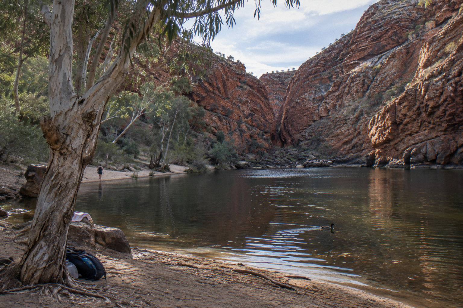
Ormiston deserves its reputation as the anchor stop. The waterhole sits 500 m from the visitor centre and reaches up to 14 m deep at its southern end, and the park warns it is extremely cold with a hypothermia risk even in summer, plus a flat ban on jumping or diving. Around it fan the Pound Walk, the Ghost Gum Lookout and the shorter Waterhole Walk, so a day built on Section 10 can swap in a shorter loop if the four-hour stage or the weather does not suit. The park's Ormiston Gorge page is the place to check current walk conditions before you drive out, because tracks there have at times required swimming or wading to complete.
Serpentine Gorge, the other end of Section 7, is a quieter proposition: paths run along the gorge through river red gums and climb to a lookout, with a carpark, picnic area and public toilet at the trailhead. It has no swimming drawcard, which for some walkers is the point. Section 8 beyond it, ending at Serpentine Chalet Dam, is the least celebrated short walk on the trail, and it suits returning visitors more than first-timers.
Standley Chasm as a finish line is a different beast again. The chasm is privately operated with its own entry fee separate from any parks pass, and the operator's own directions page describes it as an important cultural place of indigenous Australia, sacred to the Arrernte people, reached by a 40 minute drive from Alice Springs on a sealed road. Finishing Section 3 there means you can buy refreshments and sit down, luxuries the other short-section endpoints do not offer in the same way. If a fee-assisted chasm visit appeals more than a trail stage, read our breakdown of what a Standley Chasm tour actually includes before deciding.
How Do You Reach A Larapinta Trailhead For A Day Walk?
Drive yourself along Larapinta Drive or Namatjira Drive, both sealed to the major trailheads, or ride out with a tour: Simpsons Gap is 20 minutes from Alice Springs, Serpentine Gorge country starts about 100 km west, Ormiston Gorge is 135 km on sealed road, and every rostered tour from Alice Springs includes pick-up. The only short-section trailhead that genuinely resents a normal car is Redbank Gorge, where the final 5 km are unsealed and the official status is high clearance 4WD only.
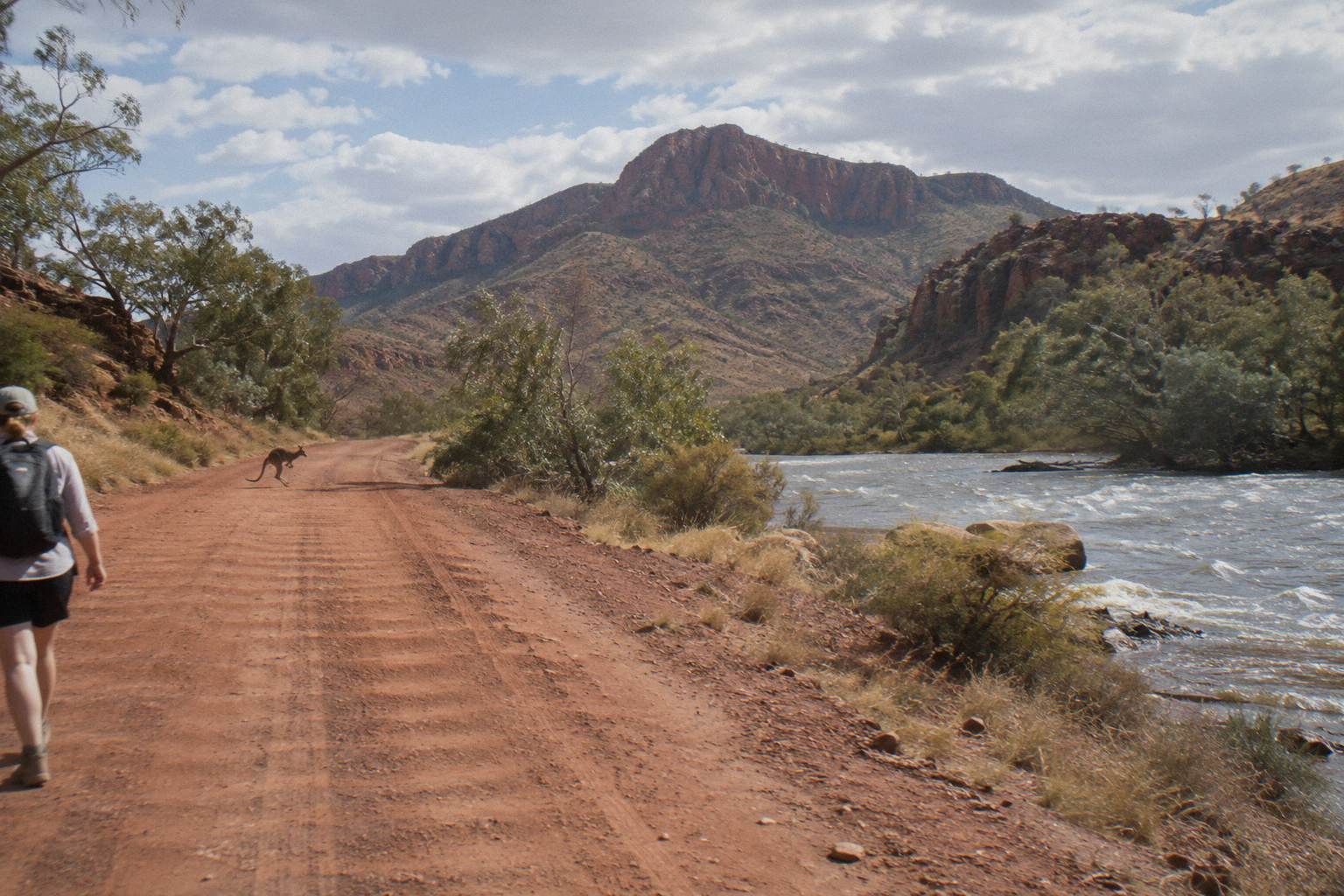
Self-driving a one-way section needs two cars or a pickup plan, because the short sections still start and finish 9 to 13 km apart as the crow flies, further by road. The classic solve is to walk an out-and-back from the trailhead with the better facilities: half of Section 10 out of Ormiston and back, or the first stretch of Section 7 out of Ellery Creek, turning around at a set time. You lose the one-way sense of progress and gain total control of your finish time, which matters when the park's own heat guidance says to avoid strenuous activity in the middle of the day between October and April, when temperatures can exceed 40 °C.
Riding out with an operator removes the logistics entirely. The five-day Larapinta safari includes courtesy hotel pick-up and drop-off in Alice Springs, air-conditioned 4WD truck travel between stages, four nights at a private remote campsite with all camping equipment supplied, and most meals, and it can be cancelled free up to 24 hours before. It is not a day hike, but it is what a day hiker graduates into, and many of its walkers started with exactly one section on their own feet.
At the far commitment end sits the 14-day guided Larapinta walk from Walking Country, which is a guided walk where the operator does not say which sections are walked, over 13 nights of bush camps with tents and swags, all meals included, and currently shows a 4.0 rating from 3 reviews. Its price is on the listing rather than published as a from-figure. For day-walk planning the useful fact is simpler: whichever end of the commitment spectrum you drift toward, the section you walked first remains a valid unit of the trail, counted the same way.
Do You Need A Parks Pass Or A Booking For A Day Hike?
Yes to a pass, no to a campground booking: day walkers need an NT Parks Visitor Pass, sold online only before you go, at AU$10 for an adult day pass, while the per-night walking trail and camping fees apply only to people sleeping on the trail. NT residents are exempt but may be asked for proof. Standley Chasm charges its own separate private entry fee on top, which no parks pass covers.
The pass price ladder is worth knowing before you buy, because a two-week pass at AU$30 per adult beats buying day passes if your Central Australia stay includes several park days:
| Pass type | Adult | Child 5-17 | Family (2 adults, 4 children) |
|---|---|---|---|
| 1-day | AU$10 | AU$5 | AU$25 |
| 3-day | AU$20 | AU$10 | AU$50 |
| 2-week | AU$30 | AU$15 | AU$75 |
| 1-month | AU$45 | AU$22 | AU$110 |
The mechanics catch people out. Passes are sold online only, through the parks booking system, and you need to be logged in before you leave town; you cannot sort it at the trailhead. The same booking system handles the trail's overnight fees, where every one of the 26 designated campgrounds must be booked and paid for per night in advance. A day walk touches none of that, which is a quiet advantage of the format: one pass, no itinerary, no campsite lottery. Our longer treatment of whether you need a pass for the West MacDonnell Ranges covers the edge cases.
One planning nuance for the guided route: on several rostered day and multi-day tours the parks pass is already inside the ticket. The half-day and full-day Alice Holiday tours include the NT Parks Visitor Pass, as do the West and East ranges combo and the 3-day 4WD camping trek, while the Emu Run day trip and the Standley Chasm day tour list the pass as an extra you buy online yourself. Independent day hikers always buy their own; guided walkers should check their tour's inclusions before double-paying.
What Is The Best Season For A Larapinta Day Hike?
The best season for a Larapinta day hike is April to September, which is the period the park itself recommends. Outside these months, from October to April, daytime temperatures can exceed 40 °C, and trail guidance for the hotter months restricts walking to early morning and late afternoon only. In practice the sweet spot for a short section is the cooler middle of that window, with a dawn start so the walking is finished before the middle of the day, and a swim at the end rather than the beginning.
The cold is the surprise, not the heat. The waterholes along the trail are extremely cold year round, and at Ormiston the park explicitly warns of hypothermia risk even in summer, which is why jumping and diving are banned there. Rain matters too, though not on a fixed calendar: after heavy rain, roads into sites such as Ellery Creek can be impassable for a short period, so a day-hike plan in the warmer half of the year should include a road check as well as a weather check. The Bureau of Meteorology's heatwave warnings are the official reference the park points to.
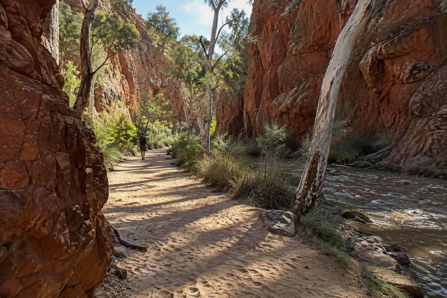
Safety guidance for a day section is the same as for the long walkers, scaled down. Carry and drink plenty of water, wear a hat, and note the locations of emergency call devices. The park advises carrying a satellite phone or personal locator beacon rather than relying on mobile coverage, and advises against walking alone, so a short section is a genuinely better choice with a second person or a guide. If you are weighing the full-season question for a longer commitment, our guide to the best time for a West Macs tour works through the whole year.
Common Questions About Larapinta Trail Day Hikes
What Is The Best Part Of The Larapinta Trail?
For a single day on foot, Section 10 from Ormiston Gorge to the Finke River: it is the shortest section at 8.9 km, recommended at four hours, grade 4 territory, and it starts beside a permanent waterhole with a visitor centre, campground and ranger station at the trailhead.
What Is The Best Part Of The Larapinta Trail For A Day Hike?
Section 10, Ormiston Gorge to the Finke River, on length, hours and facilities. Sections 7 and 3 are strong alternatives if you prefer ending at Serpentine Gorge or Standley Chasm, at 12.8 km and 13.6 km respectively.
Can You Walk Part Of The Larapinta Trail In One Day?
Yes. The trail is built as 12 independent sections of one to two days each, with road access at the trailheads, and six sections are 14.9 km or shorter. A single section is a complete, legitimate Larapinta experience.
Do I Need To Book Anything For A Larapinta Day Hike?
Only an NT Parks Visitor Pass, which is sold online before you go; a 1-day adult pass costs AU$10. Campground and walking trail fees per night apply to overnight walkers, not day walkers.
Which Larapinta Section Has Swimming At The End?
Section 10 starts at Ormiston Gorge's permanent waterhole, which reaches up to 14 m deep and is extremely cold even in summer, and Section 7 begins at Ellery Creek Big Hole, a swimming waterhole five minutes from its car park. Swimming is not permitted at Simpsons Gap.
Is A Short Larapinta Section Good Training For The Full Trail?
It is the most honest test available: same track surface, same exposure, same grades, in a controllable four to six hour package. The park's advice to carry a locator beacon and avoid walking alone applies to short sections just as it does to the long ones.