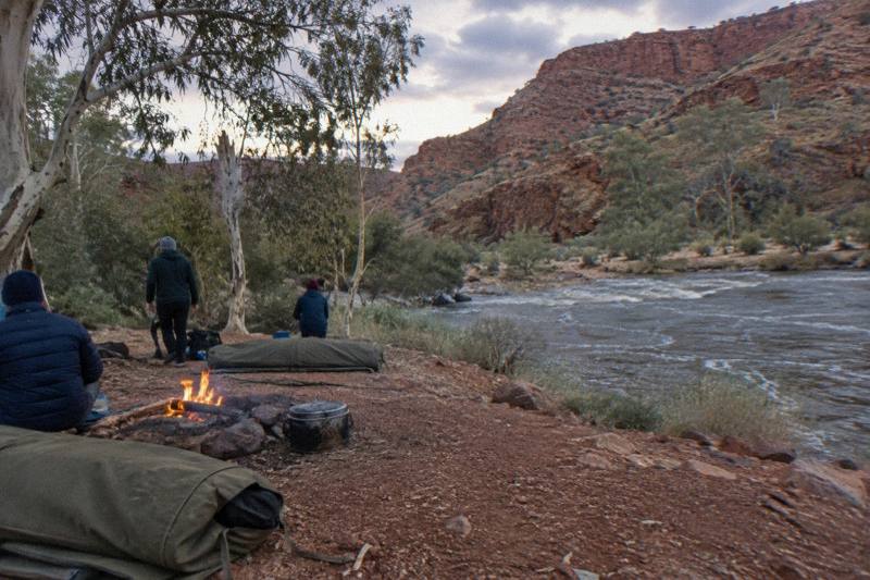
Where Does The Larapinta Trail Walk Start And End?
The Larapinta Trail starts at the Alice Springs Telegraph Station and finishes on the summit of Mount Sonder, covering over 230 km in 12 sections through Tjoritja / West MacDonnell National Park.
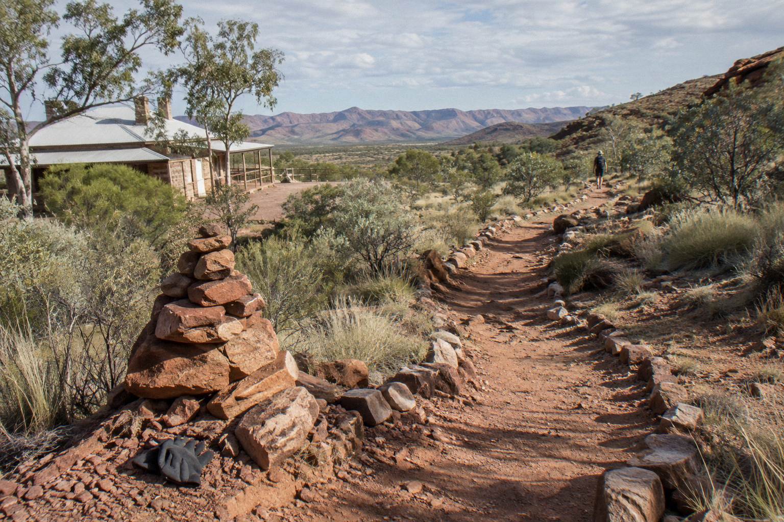
The Larapinta Trail starts at the Alice Springs Telegraph Station on the northern edge of Alice Springs and ends at the summit of Mount Sonder, deep inside Tjoritja / West MacDonnell National Park. The full route runs over 230 km through 12 sections, each usually walked in one to two days, and every one of those sections must be booked and paid for online before you set out.
That straight answer hides a trail with two very different personalities at its two ends. The start is suburban in the loosest Central Australian sense: you leave a heritage telegraph reserve on the fringe of a town, cross open mulga country, and finish your first walking day at a gap you could also drive to in twenty minutes. The finish is the opposite. Mount Sonder, known as Rutjupma in Western Aranda, is a 15 km round-trip walk from the Redbank Gorge trailhead along section 12, graded 4, and a 4WD-only road is the only practical way in. Between those poles the trail passes through 26 designated campgrounds, a privately operated one at Standley Chasm, and some of the most photographed gorge country in the Northern Territory.
The official planning guidance from the Northern Territory Government, which manages the park jointly with Traditional Owners, is blunt on one point worth repeating here: the trail is best walked between April and September, and in hotter months you should walk only in the morning and late afternoon. That seasonal rhythm matters at both ends of the trail in different ways, and it shapes which guided options make sense for walkers who want the endpoints without committing to all 12 sections. The official Larapinta Trail planning information carries the booking requirements, water advice and the fuel-stove-only rule that applies to every campsite on the route.
Walkers comparing guided ways to cover the ground have three broad shapes of product to weigh, from a five-day supported trek to a two-week full-trail walk, with a coach day trip as the entry point for seeing the same ranges without the walking.
Where Exactly Does The Trail Begin In Alice Springs?
Section 1 begins at the Alice Springs Telegraph Station, the historic compound on the town's northern fringe, and runs 24.7 km west to Simpsons Gap, a walk the park rates at about nine hours and Grade 4. That first section alone is longer than many full-day gorge walks, which is why most through-walkers treat day one as a proper test rather than a warm-up.
The Telegraph Station is not a symbolic marker in the middle of nowhere. It is a gazetted heritage reserve with its own picnic lawns and a riverside bike path, and the trail leaves it heading west along the Todd River corridor before climbing onto exposed ridgelines. Walkers have a genuinely unusual option for support here: a sealed bicycle path runs 17 km one way from opposite Flynn's Grave, about 7 km from the town centre, and parallels the general corridor toward Simpsons Gap, so a support rider can shadow the first part of the day on tarmac while the walker stays on the dirt.
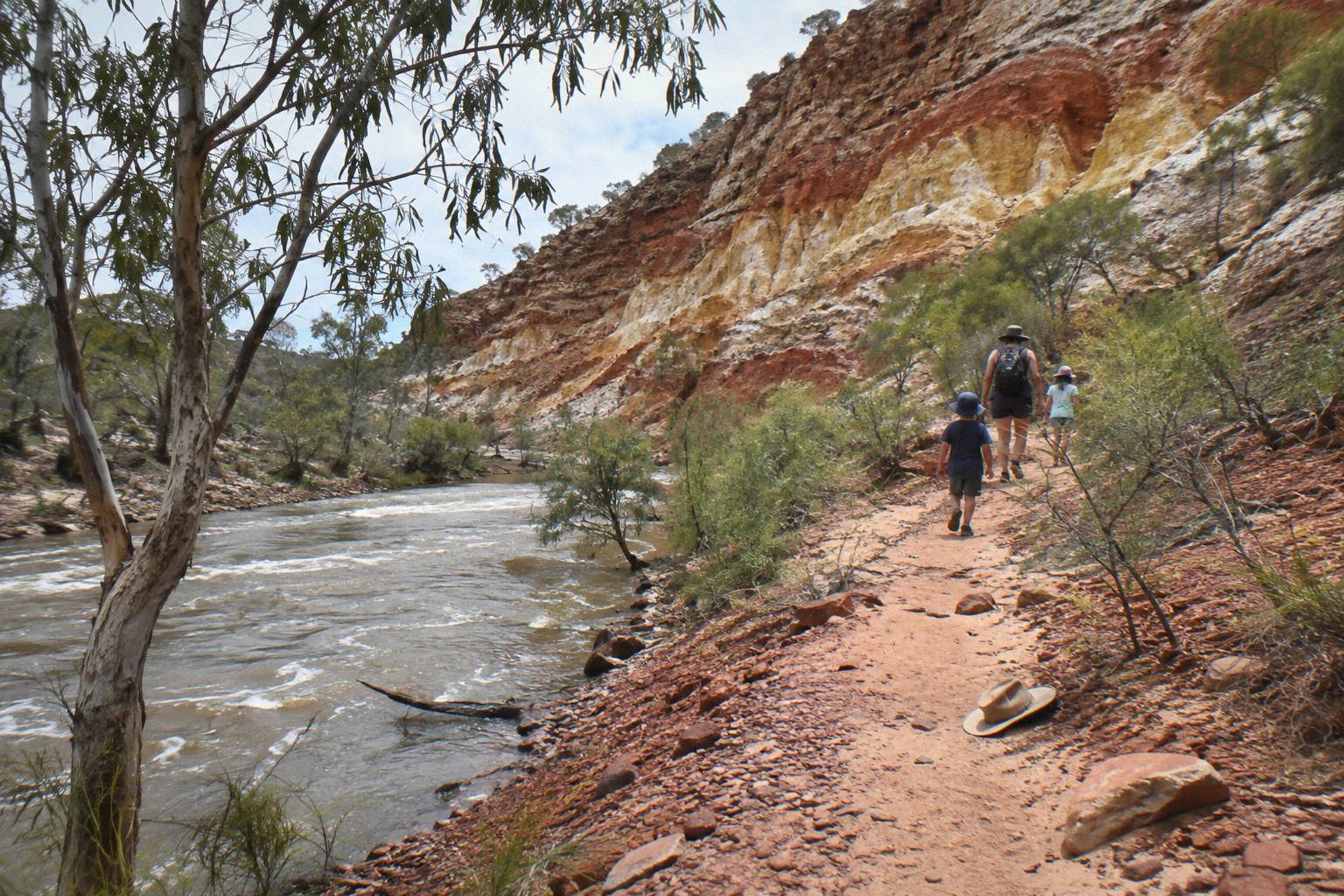
Water discipline starts on day one. The official guidance says to carry and drink plenty of water, wear a hat, and avoid strenuous activity in the heat of the day, and section 1's ridgelines offer very little shade through the middle hours. Walkers are also told to note the locations of emergency call devices and, on the trail generally, to carry a satellite phone or personal locator beacon rather than relying on mobile coverage, which is patchy within a few hours of town and effectively absent by the far sections.
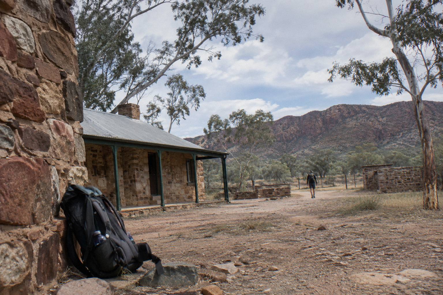
Simpsons Gap itself is an instructive finish for section 1, because the gap is also one of the most accessible sights in the whole park. The turn-off sits just 18 km west of Alice Springs along Larapinta Drive, a twenty minute drive, and the site has gas barbecues, public toilets and water that must be boiled before drinking. Swimming is not permitted there, and camping is reserved for Larapinta Trail walkers or school groups, so through-hikers get a quiet night that day visitors cannot. For day visitors, a guided Simpsons Gap tour covers the same spiritual site, where several dreaming trails and stories cross, without the 24.7 km walk in.
If a five-day supported walk through these stages sounds like the right scale, there is a question worth answering early.
Should You Book A Guided Trek Or Walk The Ends Independently?
Independent walkers pay walking trail fees and campsite bookings online themselves and carry a satellite communicator; guided trekkers pay one price that bundles campsites, food, gear and a guide who manages water and weather calls. The five-day guided option from Alice Springs covers roughly 14 km of guided bushwalking across grades 2 to 5 from a private remote campsite, from AU$3,125 per person with free cancellation up to 24 hours before.
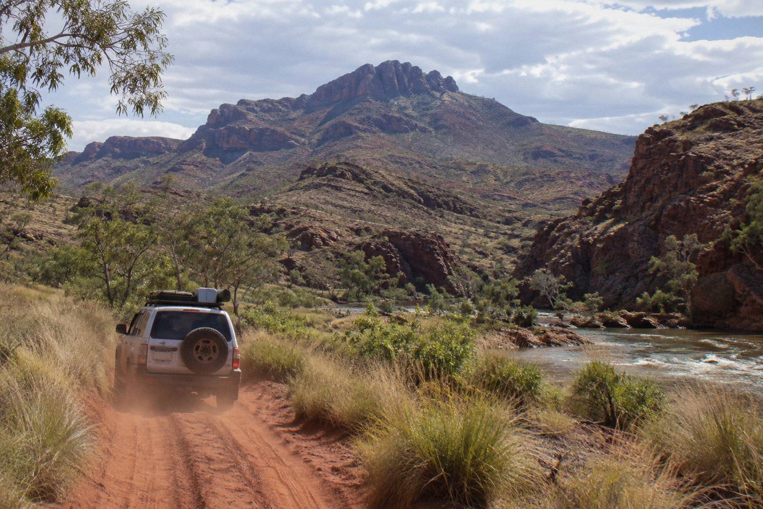
The arithmetic is not only about money. An independent section-hopper walking sections 1 and 12 still needs transport to Redbank Gorge, where the last 5 km of road is unsealed and the status is high-clearance 4WD only, and that constraint alone pushes many walkers toward guided logistics for the Mount Sonder end. Guided products also absorb the meal planning: the 5-day trek includes four breakfasts, five lunches, five dinners and trek snacks, plus all camping equipment from linen to sleeping bags, and Courtesy hotel pick-up and drop-off in Alice Springs.
For walkers who want the whole story of the trail's direction and history before choosing, the deeper comparison of guided Larapinta Trail walk options sets out what changes between a supported camp-based week and a fully catered end-to-end expedition. The 14-day guided Larapinta walk by Walking Country is the other end of that spectrum: it carries a 4.0 rating from just 3 reviews, a thin pool that says little beyond the fact that few people book this walk with one operator in a given season, and its price appears only on enquiry through the operator's live listing.
What Are The First Sections Of The Trail Like?
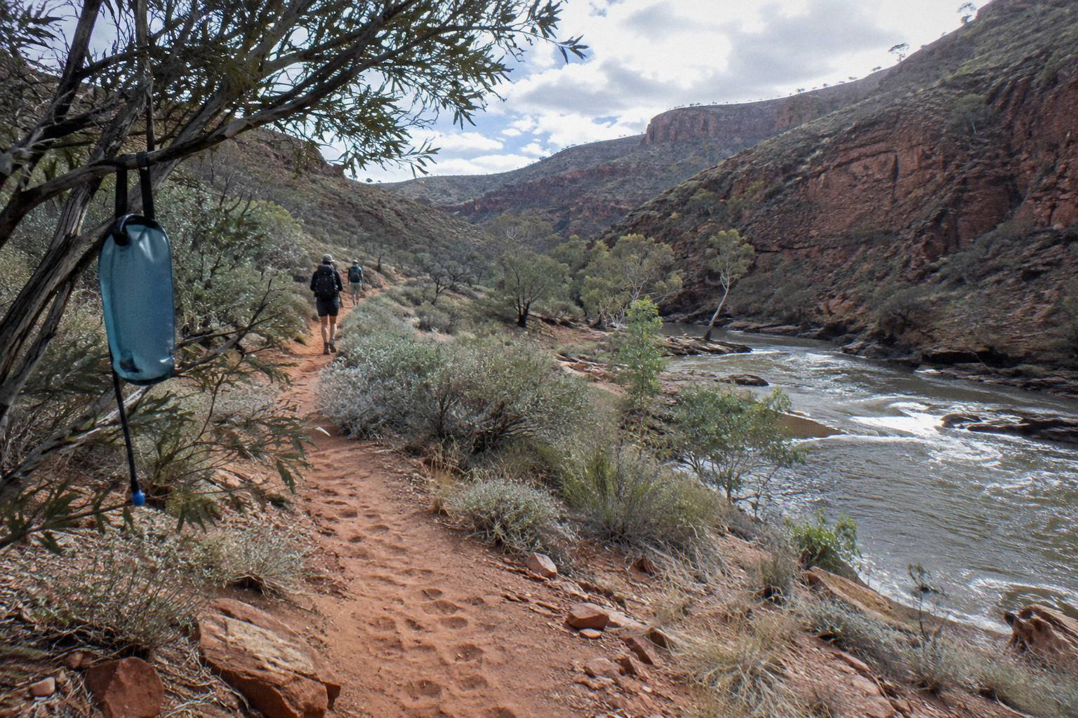
Sections 1 to 3 carry the trail from the Alice Springs Telegraph Station to Standley Chasm across three consecutive stages, moving from 24.7 km of exposed ridgeline on day one to a comparatively short 13.6 km stage into the chasm. The park grades all three sections 4, and recommends nine hours for the first, eight and a half for the second and five and a half for the third.
Each section links one designated campground or trailhead to the next, with booking required for every night, and the terrain oscillates between saddle-backed quartzite ridges with long views back over Alice Springs and sheltered creek lines of river red gums. Section 2, Simpsons Gap to Jay Creek, is 26.2 km and crosses the kind of country where a morning start matters more than fitness: once the sun is high, the ridgelines hold heat and the official advice reverts to water, a hat and resting through the middle of the day.
| Section | Route | Distance | Suggested time | Grade |
|---|---|---|---|---|
| 1 | Telegraph Station to Simpsons Gap | 24.7 km | 9 hours | 4 |
| 2 | Simpsons Gap to Jay Creek | 26.2 km | 8.5 hours | 4 |
| 3 | Jay Creek to Standley Chasm | 13.6 km | 5.5 hours | 4 |
Section 3's destination deserves a note. Standley Chasm, or Angkerle, is privately operated and sacred to the Arrernte people, an important cultural place of Indigenous Australia, and it carries a separate entry fee from any parks pass. The trail's own campground there is the one private campground among the 26 official sites plus this one, and arriving on foot in the late afternoon puts you inside the chasm outside peak day-visit hours. Walkers weighing that stop against a drive-in visit can read how the Standley Chasm entry fee works on a tour before deciding which direction suits them.
The pattern that emerges across these first three days holds for the rest of the route: distances swing between 8.9 km and 28.9 km per section, and the short ones are rarely the easy ones. Section 4 climbs from Standley Chasm to Birthday Waterhole over 17.9 km at Grade 5, and section 5 continues to Hugh Gorge, also Grade 5, which is where the trail stops being a long walk and starts being a trek.
Where Does The Trail Officially End?
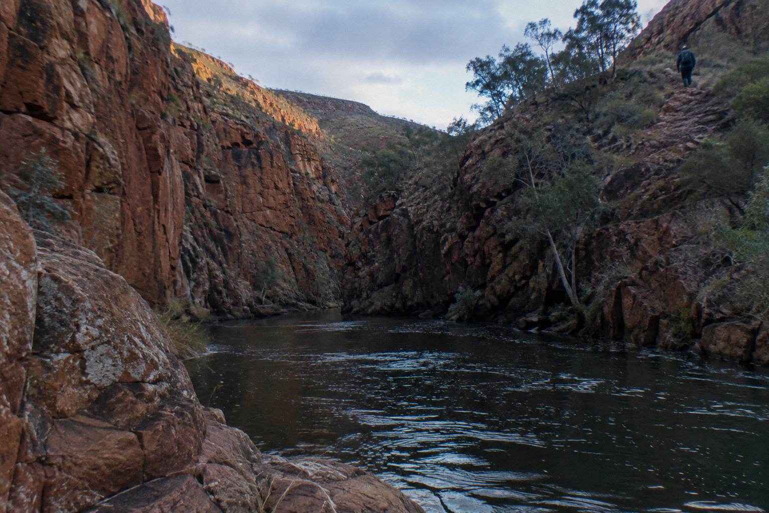
The Larapinta Trail ends at the summit of Mount Sonder, reached on section 12 as a 15 km return walk from the Redbank Gorge trailhead, rated Grade 4 and about six hours. The mountain, called Rutjupma in Western Aranda, sits at the western edge of the park, and the road in is unsealed for its final stretch with access restricted to high-clearance 4WD vehicles.
Section 11 delivers you there. It runs 26.3 km from the Finke River to Redbank Gorge in about nine and a half hours, passing Glen Helen country to the south, where the trail's section 10 ends at the Finke River, itself reached by a 4.5 km walking track from Glen Helen. Redbank Gorge is the trail's western staging point: it has two category B campgrounds, Ridgetop and Woodland, with caravans permitted at Woodland only, and an almost permanent waterhole a kilometre from the carpark that is cold enough that a flotation device is recommended for anyone swimming.
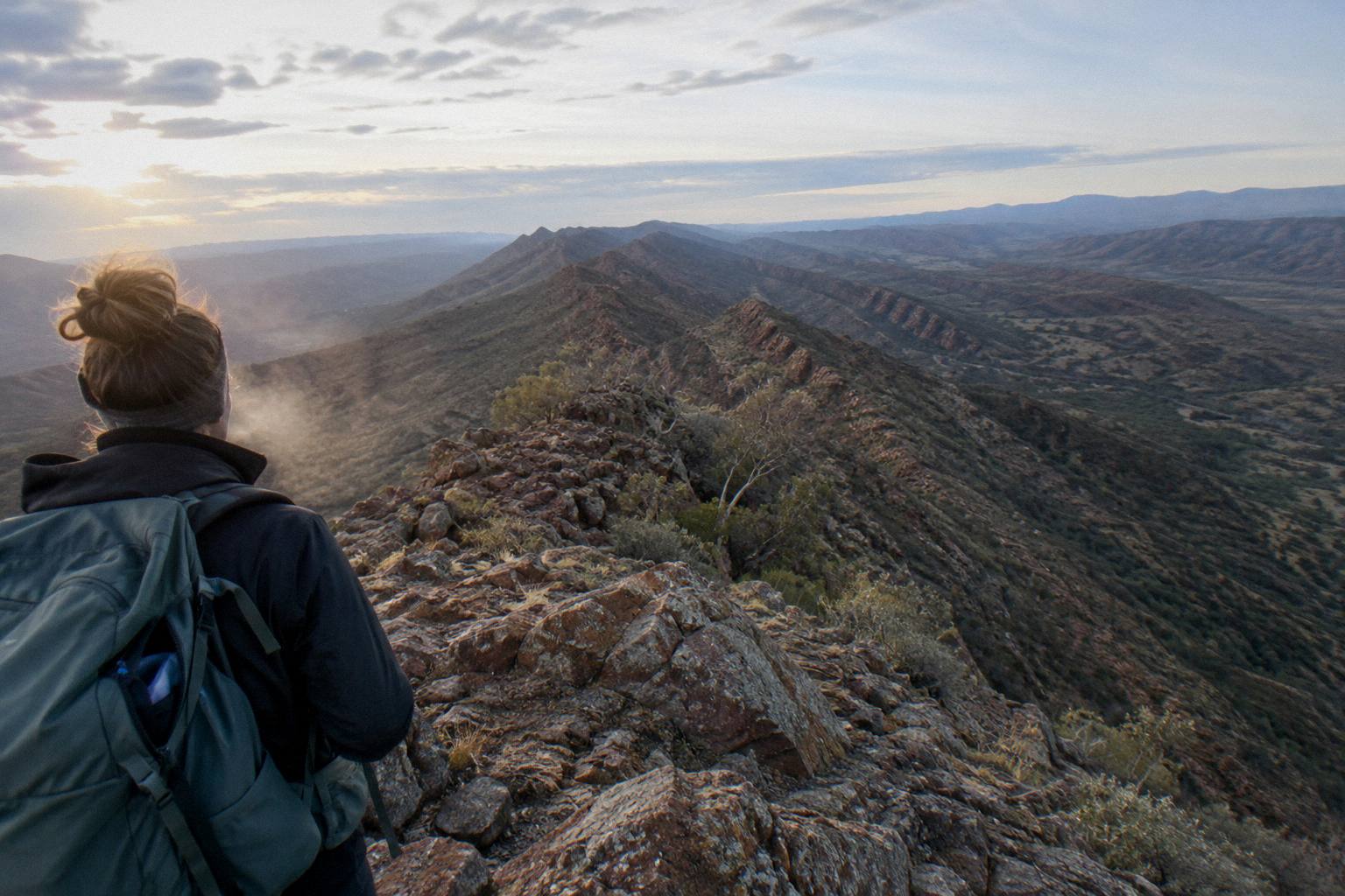
The final summit push is usually done before dawn. Mount Sonder is the classic sunrise walk of the Red Centre, a there-and-back climb from Redbank that rewards early starts with the sun rising over the ranges toward Mount Zeil country. The 15 km round trip and six hour estimate assume steady walking with a break at the top; in the hotter months the same official guidance applies with extra force, because temperatures in the region can exceed 40 °C between October and April and the heatwave warnings issued by the Bureau of Meteorology are the reference point for go or no-go decisions.
| Section | Route | Distance | Suggested time | Grade |
|---|---|---|---|---|
| 10 | Ormiston Gorge to Finke River | 8.9 km | 4 hours | 4 |
| 11 | Finke River to Redbank Gorge | 26.3 km | 9.5 hours | 4 |
| 12 | Redbank Gorge to Mount Sonder return | 15 km | 6 hours | 4 |
Notice the shape of that closing table. The shortest section on the entire trail, section 10 at 8.9 km, sits just two stages from the end, sandwiched between one of the longest days on the route and the big finale. Through-walkers often plan a rest day at Ormiston Gorge before the finish, and Ormiston rewards it: a permanent waterhole 500 m from the visitor centre, up to 14 m deep at its southern end and extremely cold, with a ranger station on hand. The Ormiston Gorge tour guide covers how day visitors reach the same waterhole without walking sections 9 and 10 to get there.
Which Direction Do Most Walkers Go?
Most walkers travel west, starting at the Alice Springs Telegraph Station and finishing at Mount Sonder, because the early sections sit closest to town, mobile coverage and resupply, while the logistics-heavy western end is handled last when packs are lighter and legs are conditioned. Walking east is legal and some do it, but it front-loads the 4WD access problem at Redbank Gorge into day one.
The westbound bias is practical rather than scenic. A westbound walker who hits trouble on section 1 is an easy shuttle back to town; the same trouble on section 11, walked eastbound first, is a long way from anywhere. The park's own safety framing reinforces this: do not walk alone, carry a satellite phone or personal locator beacon, and do not rely on mobile phones. Eastbound walkers also meet the trail's two Grade 5 sections, 4 and 5, with fresher legs, which is the one genuine argument in the other direction.
Direction also changes what "the end" means emotionally. Westbound finishers stand on Mount Sonder at sunrise looking back over everything they crossed, a 230 km chain of ridgelines and gorges condensed into one view. Eastbound finishers walk out at the Telegraph Station, which is a car park and a heritage reserve, a quieter ending that some walkers prefer precisely because it is anticlimactic: hot showers and town food are minutes away.
Guided treks overwhelmingly run westbound or section-based. The 5-day safari trek operated by Autopia Tours uses a private and remote campsite on traditional land as a base and moves walkers through stages by 4WD truck, which sidesteps the direction question entirely, since the crew handles where each day starts and finishes.
Can You Walk Only Part Of The Trail?
Yes. Section walking is a fully supported style of Larapinta trip: you book only the sections and campsite nights you want, and many walkers do section 1 or section 12 alone as day or overnight trips. Section 12 from Redbank Gorge is the most popular single-stage walk because it needs no overnight booking at all if started and finished in one day.
Section 12 suits a partial walk because the return format means you finish where you began, at Redbank, and the mountain itself is the destination rather than a waypoint. The catch remains access: Redbank Gorge is only reachable by 4WD, with the last 5 km unsealed and the access status marked high clearance 4WD only, so a hire sedan will not make it after rain or even in good conditions. Roads in the park can be impassable for a short period after heavy rain, which is worth checking before any western-section plan.
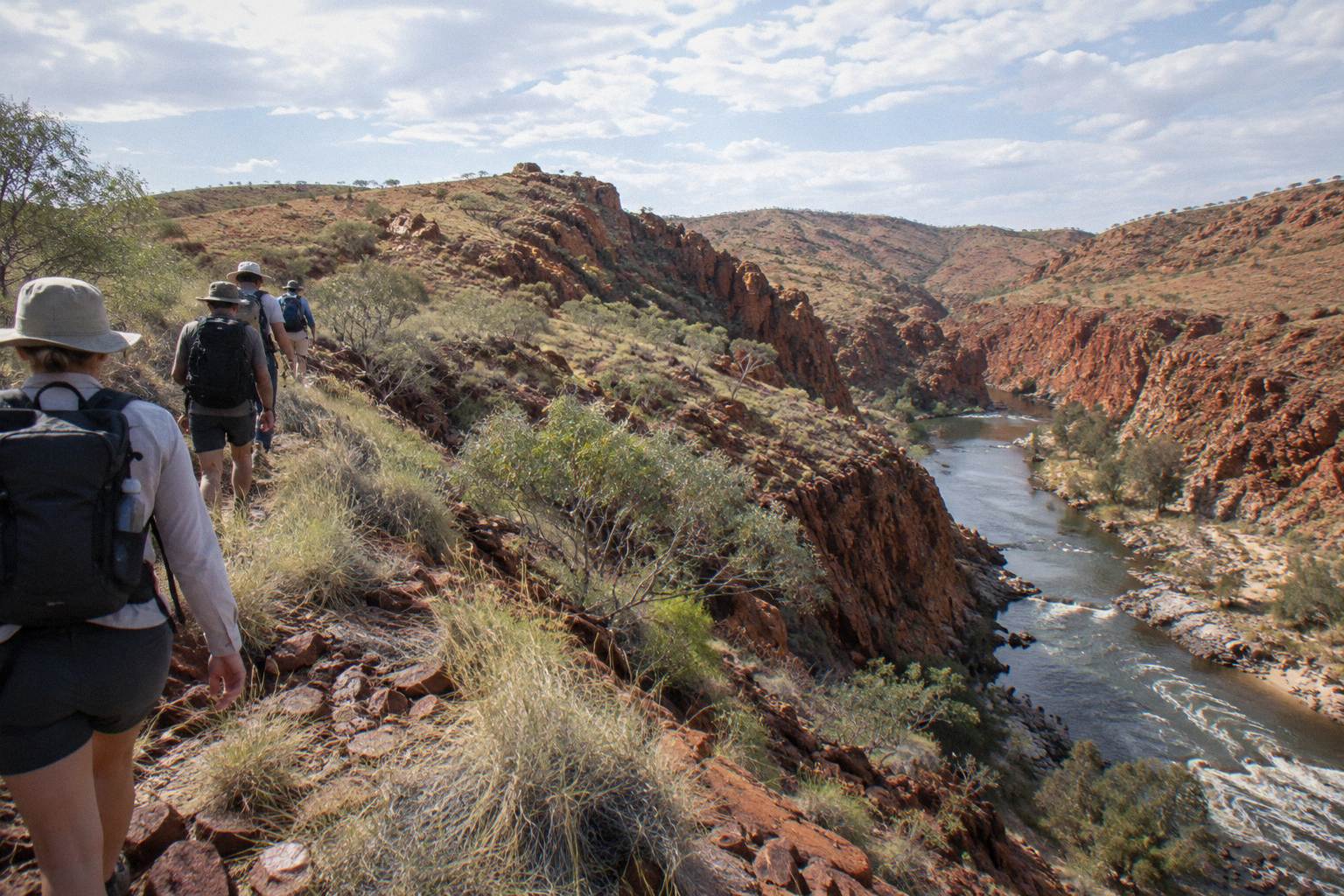
Section 1 is the opposite proposition, an entirely sealed-access day out. You can be dropped at the Telegraph Station in the morning and picked up at Simpsons Gap nine hours later, with the whole stage inside a comfortable shuttle radius of town. Some walkers string together sections 1 to 3 over three days and finish at Standley Chasm, which is the natural first-time taste of the trail: three stages, three campsites, and a finish at a privately operated cultural site with food and cold drinks available.
Walkers who want a supported version of that partial approach, or a base-camp style week, have a middle option in the 5-day trek noted above, and a completely different entry point in the 10-hour "Full Day, Small Group Only" coach day trip from Alice Springs, from AU$279 per person with a 4.6 rating from 16 reviews, which drives visitors to Simpsons Gap, Standley Chasm, Ellery Creek and more in one seated day. It involves walking only in short bursts, but it shows you, in a single loop, most of the country the trail spends twelve sections crossing.
What Should You Sort Out Before Booking The Ends?
Three things need sorting before any Larapinta start or finish: an NT Parks Visitor Pass bought online in advance, since passes are sold online only and not at the park; campsite and walking trail fees booked for every night; and, for the Mount Sonder end, confirmed 4WD transport to Redbank Gorge. Guided trekkers can skip most of this list because it is bundled into the tour price.
The pass itself is modest money for what it unlocks. An adult pass costs AU$10 for one day, AU$20 for three days, AU$30 for two weeks, AU$45 for one month or AU$60 for a year, with family and concession rates listed alongside, and NT residents are exempt though they may be asked for proof. Camping and walking fees are extra to the pass on every booking, and the camping at Redbank, like all category B campgrounds in the park, must be booked and paid for online, since you cannot pay at the park. The NT Parks Visitor Pass rules set all of this out.
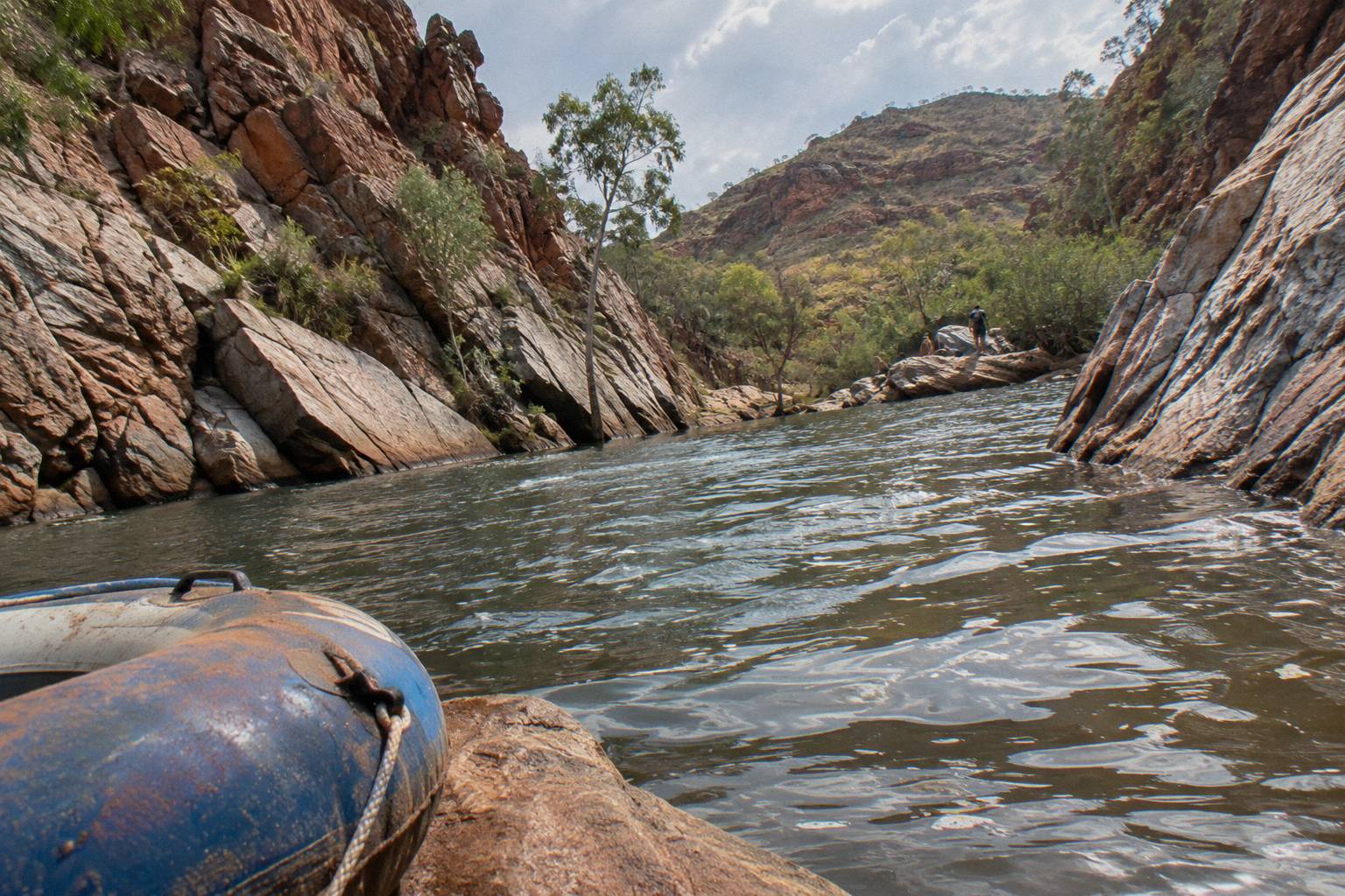
Kit matters at both ends for different reasons. At the start, the exposure of section 1's ridgelines makes sun protection and an early start the difference between a good day and a punishing one. At the finish, Redbank's waterhole is cold enough that the official advice recommends a flotation device for swimming, and the summit walk is best begun in the dark, so a headtorch, layers and a thermos earn their weight. Fuel stoves or the free park barbecues are the only cooking options anywhere on the trail, with open fires banned outright.
Cultural framing is worth carrying too. The trail crosses the homelands of Central Arrernte, Western Aranda and Luritja people, and the park, gazetted in its current form on 15 October 2014 across 252,800 ha, is jointly managed. The landscape is understood, in the official words of the park's own material, as the creation of ancestral beings in the mythological time, the foundation of spiritual beliefs and identity, and several dreaming trails and stories cross at Simpsons Gap alone. The full section-by-section listing gives distances, hours and grades for all twelve stages.
For a fuller itinerary logic around these endpoints, the West Macs day tour itinerary guide shows how a one-day driving loop maps onto the same gorges the trail spends two weeks walking through, useful context for anyone planning a partially guided trip with rest days in town. Whatever the shape of the trip, the starting line is the same for everyone: a heritage telegraph reserve on the fringe of Alice Springs, and a quartzite summit 230 km to the west, with twelve sections, a dozen gorges and a great deal of red sand in between. Whether you cover both ends with a crew and a swag, as West MacDonnell Ranges Tours describes elsewhere on this site, or walk section 1 alone on a free morning, the endpoints define the trail: town at one end, mountain at the other.
Common Questions About The Larapinta Trail Walk
Where Does The Larapinta Trail Walk Start And End?
The trail starts at the Alice Springs Telegraph Station on the northern edge of Alice Springs and ends at the summit of Mount Sonder in Tjoritja / West MacDonnell National Park. The full route covers over 230 km across 12 sections, each usually walked in one to two days.
Where Is The Larapinta Trail?
The Larapinta Trail runs west from Alice Springs through Tjoritja / West MacDonnell National Park, which stretches about 161 km west of the town and covers 252,800 ha. The park is accessed via Larapinta Drive and Namatjira Drive, both sealed.
How Many Days Does It Take To Walk The Full Trail?
The 12 sections each take one to two days, so most through-walkers need 12 to 20 days. Guided options compress this: a supported 5-day trek covers selected stages from a private campsite, while a 14-day guided walk runs 13 nights in camp (the operator does not say which sections are walked).
Do You Need A Parks Pass To Walk The Trail?
Yes, visitors to the NT need an NT Parks Visitor Pass, sold online only before you go, plus separate camping and walking trail fees for each night booked. NT residents are exempt but may be asked for proof.
Can You Reach The Mount Sonder Trailhead In A Normal Car?
No. The final 5 km of road into Redbank Gorge is unsealed and marked high clearance 4WD only, so a 2WD hire car will not get you to the section 12 trailhead. Guided treks handle this transport.
Which Direction Should You Walk The Trail?
Most walkers go west, starting at the Telegraph Station and finishing at Mount Sonder, because the early sections are closest to town and resupply while the 4WD-dependent western end is saved for last. Eastbound walking is possible but front-loads the transport problem.