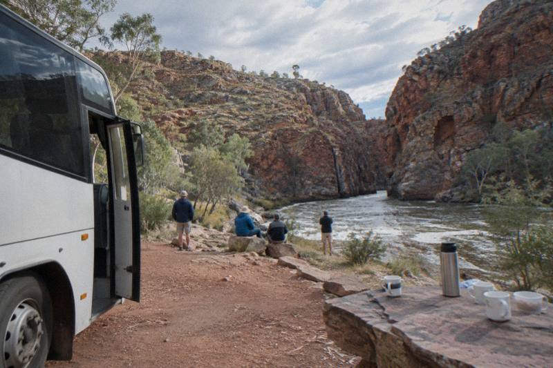
A Day Tour Itinerary: Stops In Order From Alice Springs
The West MacDonnell Ranges stretch about 161 km west of Alice Springs, and every itinerary down Larapinta and Namatjira Drive follows the same logic: the stops stack up in order of distance, and how far you go decides which tour, or which day, you need.
Short answer
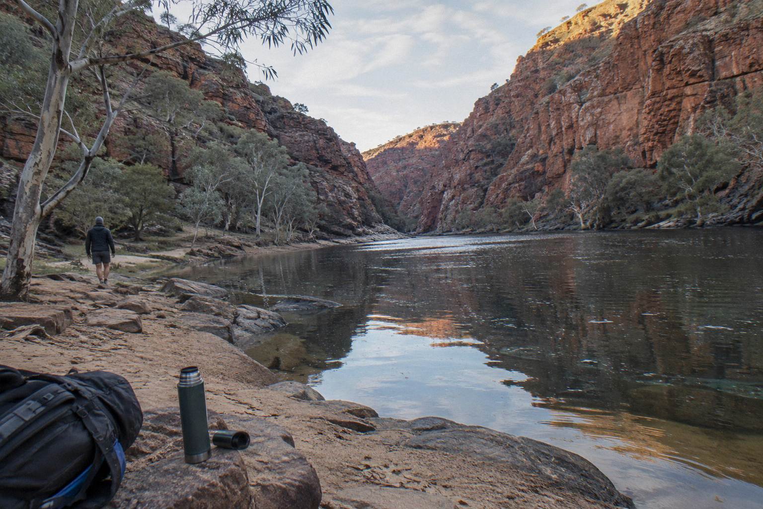
Tjoritja / West MacDonnell National Park runs about 161 km west of Alice Springs. Stops in order of distance: Simpsons Gap (18 km turn-off), Standley Chasm, Ellery Creek Big Hole, Serpentine Gorge (100 km), Ochre Pits (110 km), Glen Helen (132 km), Ormiston Gorge (135 km) and Redbank Gorge beyond it.
Tjoritja / West MacDonnell National Park was gazetted on 15 October 2014 and covers 252,800 ha of ranges, gorges and permanent waterholes on the homelands of the Central Arrernte, Western Aranda and Luritja people, jointly managed with those Traditional Owner groups. From Alice Springs the park runs about 161 km west along two sealed roads, Larapinta Drive and Namatjira Drive. That single geographic fact shapes every itinerary: the gorges sit along one corridor, roughly in order of distance, so a day plan is really a decision about how far down the corridor you go before turning back.
This guide sets out the stops in that order, pairs each one with what the roster of day tours can verifiably reach, and finishes with how the stops fit a half-day versus a full-day timetable. One thing to settle early: an NT Parks Visitor Pass is required for visitors, sold online only, and several tours include it in the fare while others list it as an extra.
How Far Is Each West Macs Stop From Alice Springs?
The stops line up west of Alice Springs in a single chain: Simpsons Gap at an 18 km turn-off, then Standley Chasm, Ellery Creek Big Hole, Serpentine Gorge at 100 km, the Ochre Pits at 110 km, Glen Helen at 132 km, Ormiston Gorge at 135 km, and Redbank Gorge at the base of Mount Sonder beyond the sealed road's end. All are reached via Larapinta Drive and Namatjira Drive, both sealed to the major stops.
Distance is the whole game here. A tour that turns around at Standley Chasm has done maybe a third of the corridor; one that reaches Ormiston has driven close to 135 km each way and needs most of a day to do it. The table below is the backbone of every itinerary decision in this guide, ordered by road distance from Alice Springs.
| Order | Stop | Distance from Alice Springs | Access notes |
|---|---|---|---|
| 1 | Simpsons Gap | 18 km turn-off, about 20 minute drive | Sealed Larapinta Drive |
| 2 | Standley Chasm | Operator-stated 40 minute drive | Sealed road; privately operated, separate entry |
| 3 | Ellery Creek Big Hole | West of Standley Chasm | Last 2 km unsealed; can be impassable briefly after heavy rain |
| 4 | Serpentine Gorge | 100 km | Sealed to carpark |
| 5 | Ochre Pits | 110 km | Sealed to site |
| 6 | Glen Helen Gorge | 132 km | Sealed access |
| 7 | Ormiston Gorge | 135 km | Sealed access |
| 8 | Redbank Gorge | Beyond Glen Helen area | Last 5 km unsealed, high clearance 4WD only |
Two quirks in that ordering are worth flagging. Serpentine Gorge and the Ochre Pits sit at 100 km and 110 km respectively, but Serpentine Gorge's walking track is also the trailhead for Larapinta Trail sections 7 and 8, which is why hikers pass through it in the opposite direction from day trippers. And Redbank Gorge is the one stop on this list a conventional two-wheel-drive cannot reliably reach: the park status for its access road is high clearance 4WD only, which is why it appears on guided multi-day rosters rather than day itineraries.
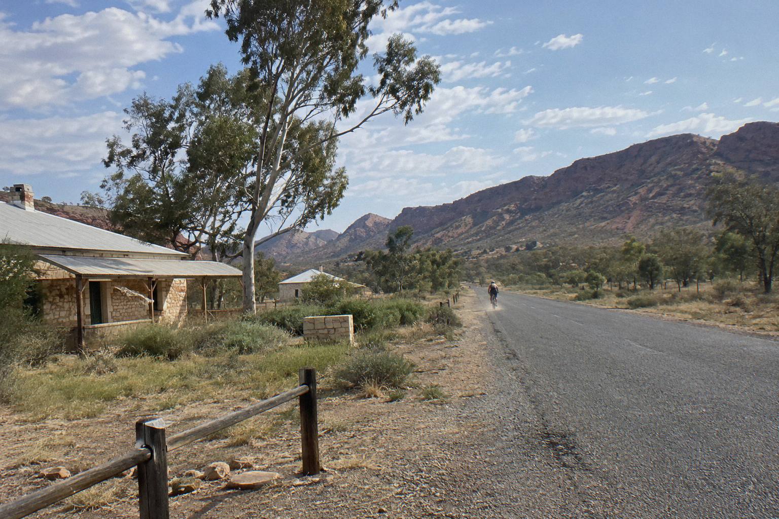
Simpsons Gap deserves its place at the head of the table for reasons beyond proximity. Several dreaming trails and stories cross at this spiritual site, and the gap is one of the reliable places to see black-footed rock wallabies at dawn and dusk. There is a 17 km one-way bicycle path from opposite Flynn's Grave, 7 km from Alice Springs, which makes the gap the only stop on the list you can also reach under your own pedal power.
What Does A Full-Day West MacDonnell Itinerary Look Like?
A full-day tour from Alice Springs spends its hours driving west and back: Simpsons Gap and Standley Chasm in the morning stretch, Ellery Creek Big Hole and the Ochre Pits around midday, then the far stops, Ormiston Gorge or Glen Helen Gorge, before the return leg. Roster full-day trips run 9 to 10.5 hours and the drive alone past Serpentine accounts for most of the difference between a half-day and a full-day fare.
The maths is unforgiving. Reaching Ormiston Gorge means 135 km each way, so a tour that goes all the way out and back is committing to a full day of driving plus stops within a single departure. That is why the half-day products on the roster turn around at or before Standley Chasm, and why the full-day products cluster at 9 to 10.5 hours. If you are weighing the trade-off in detail, the full-day versus half-day comparison breaks down which stops each format sacrifices.
Three roster trips define the full-day format. The "From Alice Springs: West MacDonnell Ranges Day Trip", run by Emu Run Experience, is a 9-hour shared coach trip from AU$249 per person, rated 4.7 from 336 reviews, with Standley Chasm entry, morning tea and a bushman's lunch included; the NT Parks pass is an extra you buy online beforehand. The "Alice Springs: West MacDonnell Ranges & Standley Chasm Tour" from Autopia Tours runs 10.5 hours in a small-group vehicle from AU$220 per person, rated 4.7 from 70 reviews, with Standley Chasm entry, lunch and onboard Wi-Fi included. And the "West MacDonnell Ranges Day Tour with Lunch" from Wildlife Tours Australia, from AU$163 per person, packs a 10.5-hour shared mini-coach day with lunch, snacks, Standley Chasm entry and guided bush walks of 3 to 4 km into the one fare.
The pattern across all three is the same: Standley Chasm appears by name in the inclusions, the far gorges are covered by the overall route description, and the parks pass is either bundled or flagged as an exclusion. When you read any day-tour inclusions list, check those three line items first, because they tell you how far west the day actually reaches and what you will pay at the gate.
| Full-day tour (short name) | Hours | Operator | From price | Rating |
|---|---|---|---|---|
| 9-Hour Coach Day Trip | 9 | Emu Run Experience | AU$249 | 4.7 from 336 reviews |
| Day Trip Plus Standley Chasm | 10.5 | Autopia Tours | AU$220 | 4.7 from 70 reviews |
| Day Tour, Lunch Included | 10.5 | Wildlife Tours Australia | AU$163 | No rating on the listing |
| Full Day, Small Group Only | 10 | Alice Holiday Tours | AU$279 | 4.6 from 16 reviews |
Every trip in that table includes hotel pick-up in Alice Springs and free cancellation up to 24 hours before, per the booking terms. Three of the four list Standley Chasm entry in the fare; all four describe their own route in the listing, so the western extent of each day is worth confirming against the itinerary wording before you commit.
Which Tours Reach The Furthest Stops?
Only tours whose itinerary or inclusions name the western stops can be relied on to reach them: the small-group full-day products and the multi-day camping trips cover Ormiston Gorge and Glen Helen, while half-day trips turn around at Standley Chasm or Ellery Creek. Redbank Gorge and Mount Sonder sit beyond a 4WD-only road and effectively belong to multi-day itineraries.
Operators word their routes differently, so the table goes by each tour's listed stops. The table below maps each roster trip to the farthest stop its own listing supports, based strictly on what the title or inclusions state. Where a listing does not name a stop, the row says so rather than guessing.
| Tour (short name) | Length | From price | Farthest stop the listing supports |
|---|---|---|---|
| 9-Hour Coach Day Trip (Emu Run) | 9 hours | AU$249 | Full-day route; Standley Chasm entry named in inclusions |
| Half-Day Gorges, Emu Run | 5 hours | AU$135 | Half-day route; Standley Chasm entry named in inclusions |
| Half-Day Gorges, Alice Holiday | 5 hours | AU$155 | Half-day route; pass and entrance fees included |
| Day Trip Plus Standley Chasm (Autopia) | 10.5 hours | AU$220 | Standley Chasm and the western gorges; Standley entry included |
| Full Day, Small Group Only (Alice Holiday) | 10 hours | AU$279 | Itinerary names Simpsons Gap, Honeymoon Gap, Standley Chasm and Ellery Creek |
| Day Tour, Lunch Included (Wildlife Tours) | 10.5 hours | AU$163 | Full-day route; Standley Chasm entry named in inclusions |
| 3-Day 4WD Camping Trek (Autopia) | 3 days | AU$896 | Kings Canyon plus West MacDonnell camps; park passes included |
| Larapinta 5-Day Safari Trek (Autopia) | 5.5 days | AU$3,125 | Larapinta Trail sections on foot from a private camp |
The Autopia "Day Trip Plus Standley Chasm" tour earns its place in that table by naming its far stops outright: the listing includes guided bushwalking, wildlife spotting, lunch and snacks, and Angkerle Atwatye, the Standley Chasm entry fee, in the fare. It is a small-group vehicle, children under 6 are not carried, and 6 to 17 year olds need an accompanying adult. Free cancellation runs to 24 hours before, and the NT Parks day pass is listed among the exclusions, so budget the online purchase before departure.
For depth on the single most popular far stop, the Ormiston Gorge tour guide covers the waterhole, the walks and the camping options at 135 km out, including the fact that its waterhole sits 500 m from the visitor centre and reaches 14 m deep at its southern end.
Can You Cover The West Macs In Half A Day?
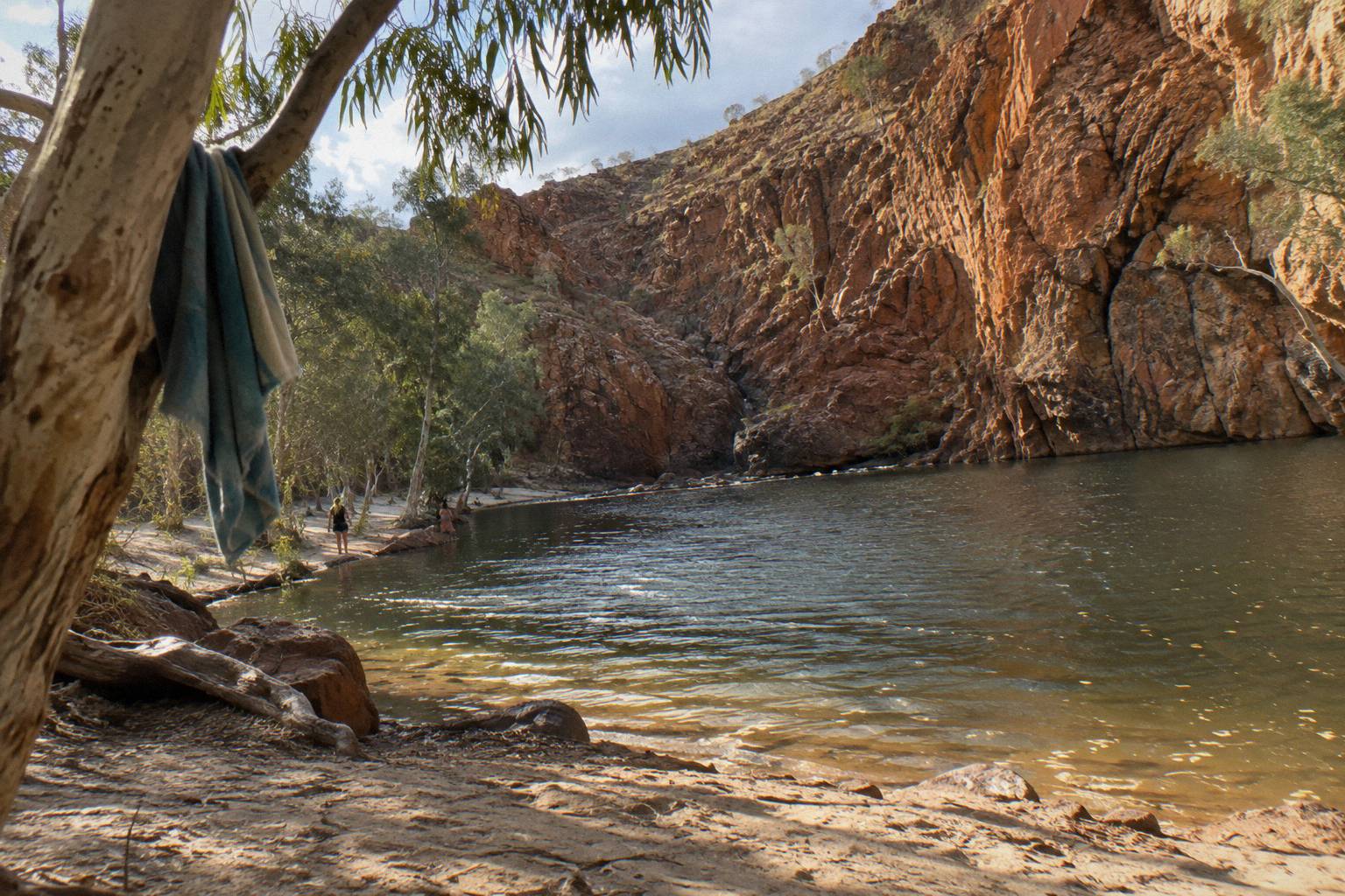
A half-day tour reaches Simpsons Gap and Standley Chasm, roughly the first third of the corridor, and returns to Alice Springs inside 5 hours. It cannot reach the Ochre Pits, Serpentine Gorge, Glen Helen or Ormiston Gorge: the driving alone to those stops would consume the whole window. Both roster half-day products include hotel pick-up in Alice Springs and free cancellation up to 24 hours before.
The two half-day options differ in group size and inclusions. "From Alice Springs: Half-Day West MacDonnell Ranges Tour", the Emu Run product, runs 5 hours from AU$135 per person with Standley Chasm entry and morning tea included; it carries children aged 2 and over, and the parks pass is an extra. "From Alice Springs: West MacDonnell Ranges Half-Day Tour" from Alice Holiday Tours, from AU$155 per person and rated 4.8 from 121 reviews, is a small-group trip with the NT Parks Visitor Pass, drinks and light snacks folded into the fare.
The Alice Holiday half-day listing also carries a policy worth knowing when you plan: if attractions are closed for circumstances beyond the operator's control, a suitable alternative is provided. That matters in a park where individual walks do close, as the Ghost Gum Walk at Simpsons Gap did after storm damage. More on choosing between the two operators sits in the half-day tours from Alice Springs roundup.
The Eastern Stops: Simpsons Gap To Standley Chasm
The eastern pair, Simpsons Gap and Standley Chasm, sit within the first 40 minutes of driving and anchor every itinerary, half-day or full. Simpsons Gap forbids swimming but offers short walks and reliable rock wallabies; Standley Chasm is privately operated, sacred to the Arrernte people, and carries its own separate entry fee on top of the parks pass.
Simpsons Gap is the closest stop, an 18 km turn-off along Larapinta Drive, with gas barbecues, public toilets and boil-before-drinking water at the picnic area. Its walking options are the Cassia Hill Walk and the Woodlands Trail, with the Ghost Gum Walk closed due to storm damage. Camping there is reserved for Larapinta Trail walkers and school groups, so day visitors should not plan on it. The gap's cultural weight is real: the official park page describes it as an important spiritual site where several dreaming trails and stories cross.
Standley Chasm, known as Angkerle Atwatye, is the corridor's commercial hinge. The operator describes it as an important cultural place of indigenous Australia, sacred to the Arrernte people, about a 40 minute drive from Alice Springs on a sealed road. Because it is privately operated, its entry fee is separate from the NT Parks pass, which is why so many tour inclusions list Standley Chasm entry as a distinct line item. Never assume the parks pass covers it, because it does not.
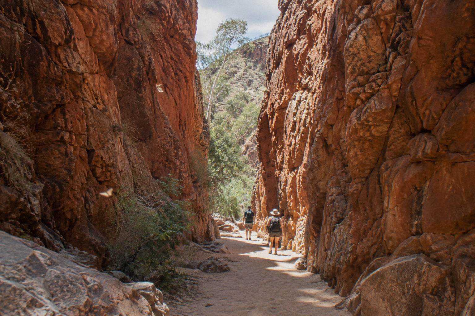
For trip planning through the whole park rather than single stops, the West Macs day tours guide is the broader companion to this itinerary page.
The Middle Stops: Ellery Creek Big Hole To Serpentine Gorge
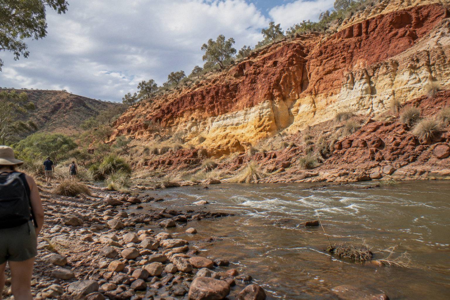
The middle corridor runs from Ellery Creek Big Hole, with its permanent waterhole five minutes from the car park, past Serpentine Gorge at 100 km and the Ochre Pits at 110 km. Ellery Creek is the only middle stop with a swim-friendly waterhole and a bookable campground; Serpentine is a walking stop on Larapinta sections 7 and 8; the Ochre Pits are a cultural site where ochre has been quarried traditionally.
Ellery Creek Big Hole is the practical centre of a self-drive day. Its permanent waterhole sits a five minute walk from the car park and is ideal for swimming, though extremely cold, with jumping, diving and swinging all banned. The last 2 km of access is unsealed and can be briefly impassable after heavy rain, a caveat that matters more in the hotter, wetter months. Facilities include gas barbecues, toilets, boil-water, caravan access and a fire pit, and the category B campground must be booked and paid for online in advance; you cannot pay at the park.
The walking options stack up here too. The Ellery Creek loop runs 32 km, partly shared with the Larapinta Trail, alongside the shorter Dolomite walk. Serpentine Gorge, 100 km out, offers paths through river red gums up to a lookout, with a carpark, picnic area and public toilet, plus its own trailhead campground for Larapinta walkers. The Ochre Pits, at 110 km, are exactly what the name says, a traditionally quarried ochre source, and the site carries strict rules against removing ochre.
The Western End: Ormiston, Glen Helen, Redbank And Mount Sonder
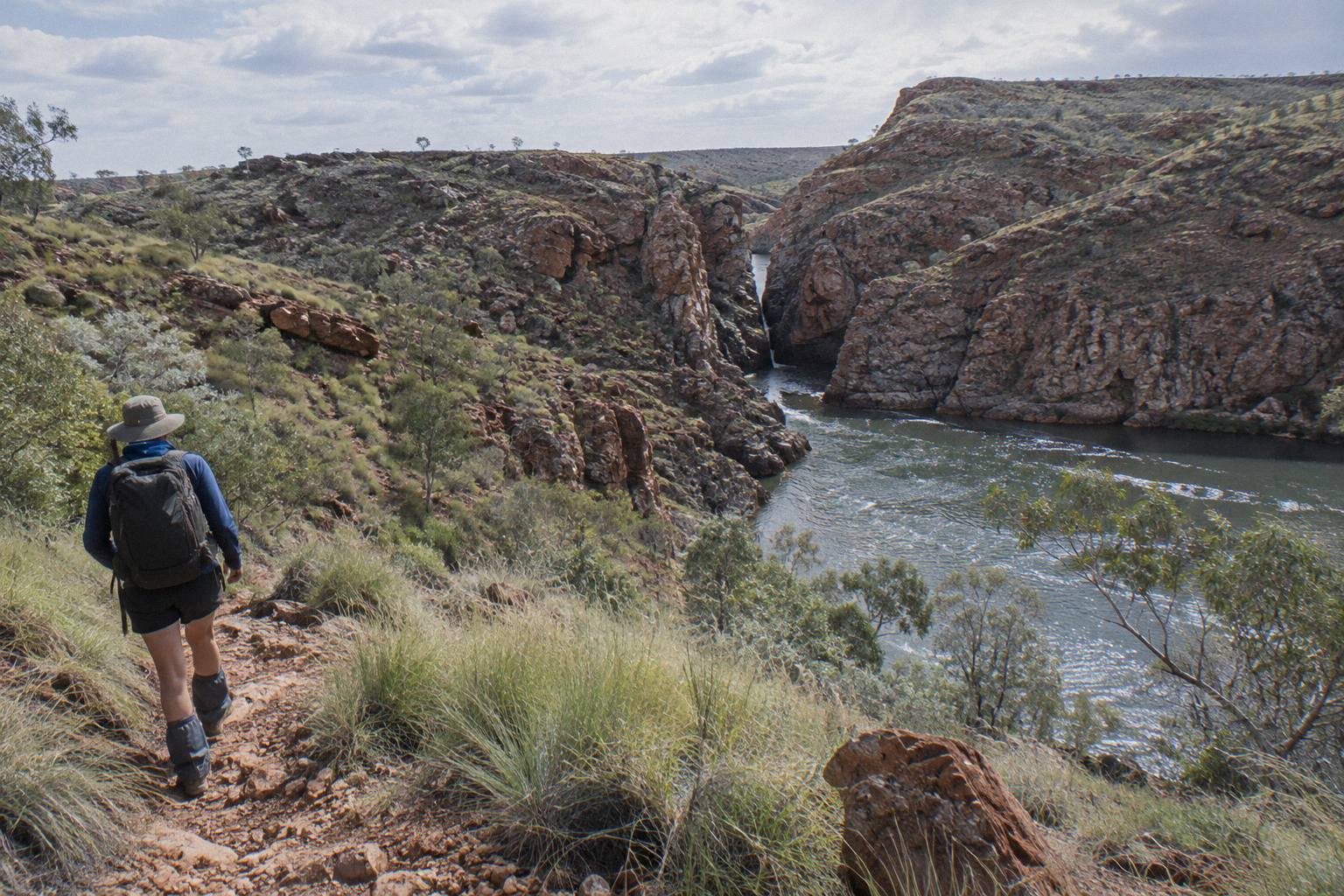
The western end is where full-day tours earn their length: Glen Helen Gorge at 132 km, Ormiston Gorge at 135 km, then Redbank Gorge behind 5 km of unsealed 4WD-only road at the base of Mount Sonder. Ormiston's waterhole, 500 m from the visitor centre and up to 14 m deep, carries a hypothermia warning even in summer; Mount Sonder's summit walk is 15 km, 6 hours, Grade 4.
Ormiston Gorge is the west's centrepiece, sealed all the way, with a ranger station, a category B campground with gas barbecues, toilets and showers open to all vehicle types including caravans, and walks ranging from the short Waterhole Walk to the full Pound Walk loop, which includes a short swim through deep, cold water. The park page is blunt about the waterhole: extremely cold, hypothermia risk even in summer, no jumping or diving. Its kiosk operates seasonally and was closed when the park pages were last read. A park pass is required here, as everywhere in Tjoritja.
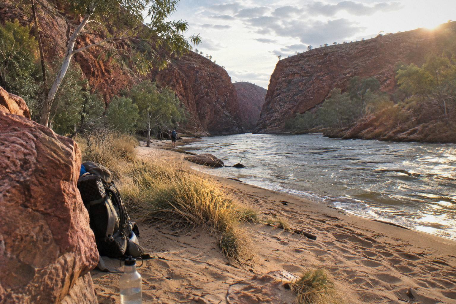
Glen Helen Gorge, at 132 km, is the corridor's service stop: carpark, coach parking, food and refreshments, lookouts, a restaurant, toilets and caravan and campsites, with a walking track of 4.5 km to the Finke River, where Larapinta Trail section 10 ends. Redbank Gorge sits beyond it, and its access status, high clearance 4WD only, keeps it off day itineraries: the almost-permanent waterhole is 1 km from the carpark, cold, with a flotation device recommended. Two category B campgrounds, Ridgetop and Woodland, serve the area, with caravans permitted at Woodland only.
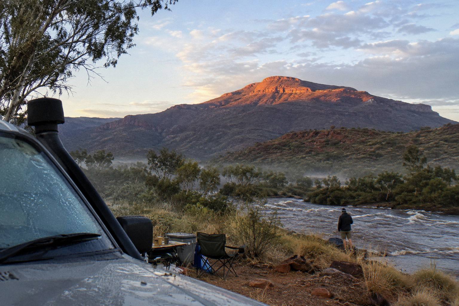
Mount Sonder, or Rutjupma, is the corridor's western terminus and the end of the Larapinta Trail itself. Section 12 runs Redbank Gorge to Mount Sonder and back, 15 km, 6 hours, Grade 4. It is a hike, not a tour stop, and it belongs in itineraries only for people planning to overnight in the park or walk the trail with a guided operator, which the Larapinta Trail guided walks guide covers separately.
Which Order Should You Do The Stops In?
Drive west in the morning and let the stops come to you: Simpsons Gap first, Standley Chasm, Ellery Creek, Serpentine Gorge, the Ochre Pits, Glen Helen, then Ormiston as the turnaround, and only Redbank and Mount Sonder if you have 4WD or a multi-day plan. The order is not stylistic; it is the only sequence that avoids backtracking on two sealed roads with limited fuel and services.
Two practical rules refine that order. First, plan food around Glen Helen, the only stop with a restaurant and refreshments, because most other stops offer nothing beyond boil-water taps and gas barbecues. Second, respect the heat schedule: temperatures in the ranges can exceed 40 °C between October and April, and the parks service advises walking only in the cooler parts of the day, carrying and drinking plenty of water, and noting where emergency call devices are located. Most waterholes are extremely cold, swim only where it is permitted, and keep an eye out for flash floods and storms.
| Stop | Swimming | Camping | Key walking option |
|---|---|---|---|
| Simpsons Gap | Not permitted | Larapinta walkers and school groups only | Cassia Hill Walk |
| Standley Chasm | Not listed | Private campground on the Larapinta route | Chasm walking track |
| Ellery Creek Big Hole | Yes, extremely cold | Category B, book online | Ellery Creek and Dolomite walks |
| Serpentine Gorge | Not listed | Category B campground | Gorge path to lookout |
| Ochre Pits | No | Not listed | Site viewing area |
| Glen Helen Gorge | Cool dip permitted | Caravan and campsites | 4.5 km Finke River track |
| Ormiston Gorge | Yes, hypothermia risk even in summer | Category B, book online | Pound Walk loop |
| Redbank Gorge | Yes, cold, flotation recommended | Two category B campgrounds | 1 km walk to waterhole |
Aside from distance, the other itinerary variable is what the Larapinta Trail does with these same stops. The trail runs over 230 km in 12 sections from the Alice Springs Telegraph Station to the summit of Mount Sonder, and its campsites, 26 designated category B grounds plus a private one at Standley Chasm, overlap the day-tour corridor at Simpsons Gap, Standley Chasm, Ellery Creek, Serpentine Gorge, Ormiston and Redbank. Hikers must book each night and pay walking trail fees online before setting out, and fuel stoves or the free barbecues are the only cooking option, with fires banned.
What Should You Pack For The Itinerary?
Plan for heat, cold water and long gaps between services: the parks service advises carrying and drinking plenty of water, wearing a hat, avoiding strenuous activity in the heat of the day, and noting emergency call device locations. Walkers heading beyond the day corridor should not rely on mobile phones; a satellite phone or personal locator beacon is the recommended communication on the Larapinta Trail.
The packing logic splits by how far west you go. A half-day trip to Simpsons Gap and Standley Chasm needs little more than water, sun protection and walking shoes. A full-day run to Ormiston adds a swim kit, because the waterholes are genuinely cold even in summer, plus food unless your tour includes lunch, and the parks pass bought online in advance if the fare excludes it. The what to bring on a West Macs day tour checklist itemises this in full.
Season matters as much as distance. The Larapinta walking season advice runs April to September for cooler conditions, and the same window suits day touring. Outside it, the heat warnings bite: the official advice is to walk only morning and late afternoon, and to check heatwave warnings before committing to a gorge itinerary.
Common Questions About A West MacDonnell Ranges Itinerary
What Order Do The West MacDonnell Stops Come In From Alice Springs?
Simpsons Gap at an 18 km turn-off, Standley Chasm, Ellery Creek Big Hole, Serpentine Gorge at 100 km, the Ochre Pits at 110 km, Glen Helen Gorge at 132 km, Ormiston Gorge at 135 km, then Redbank Gorge at the end of the corridor behind 5 km of unsealed 4WD-only road.
Can You Do The West MacDonnell Ranges In A Day Tour?
Yes. Full-day roster tours run 9 to 10.5 hours and reach the western gorges from roughly AU$163 per person, with Standley Chasm entry included on most. Half-day tours of about 5 hours cover only the eastern stops.
Which Is Further From Alice Springs, Ormiston Gorge Or Glen Helen?
Ormiston Gorge, at 135 km west on a sealed road, is slightly further than Glen Helen Gorge at 132 km. Most itineraries pair them as the western turnaround.
Do You Need A 4WD For Redbank Gorge?
Yes. The last 5 km of access is unsealed and the official status is high clearance 4WD only. Day tours do not include Redbank Gorge; it appears on multi-day itineraries.
Is Standley Chasm Included In The NT Parks Pass?
No. Standley Chasm is privately operated with a separate entry fee. Many roster tours bundle its entry into the fare, so check the inclusions line for it before booking.
Where Does The Larapinta Trail Fit Into The Itinerary?
The trail runs over 230 km in 12 sections from the Alice Springs Telegraph Station to Mount Sonder, overlapping the tour corridor at Simpsons Gap, Standley Chasm, Ellery Creek, Serpentine Gorge, Ormiston and Redbank. Campsites must be booked online in advance.
For a broader comparison of every departure format from Alice Springs, West MacDonnell Ranges Tours rounds up the full roster alongside this stop-by-stop itinerary, including the multi-day camping trips that reach beyond where any day tour turns around.