How Hard Is The Larapinta Trail Hike?
An honest difficulty guide to the Larapinta Trail using the official section grades, distances and hours, plus heat and safety rules that decide how hard the walk really feels.
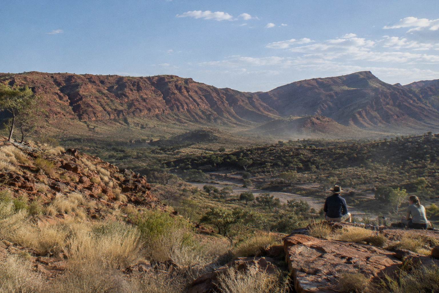
The honest answer is that difficulty on the Larapinta Trail varies enormously by section. The walk covers over 230 km in 12 sections through Tjoritja / West MacDonnell National Park, and the official grades range from Grade 4 on the opening legs to Grade 5 through the razorback country between Standley Chasm and Hugh Gorge. Heat, not distance, is what catches most walkers out. Between October and April temperatures can exceed 40 °C, and the park's own guidance restricts walking to mornings and late afternoons in that heat.
The Larapinta Trail is a hard walk, and the official grading says so plainly: every section with a published grade sits at Grade 4 or Grade 5, which the park describes as demanding to very hard walking. Sections run from 8.9 km to 28.9 km each, and recommended walking times reach 12 hours on the longest leg. A walker of reasonable fitness can complete individual sections, but the full through-walk is a serious undertaking.
Those grades come from the Northern Territory parks authority, which manages the trail and publishes each section's distance, recommended hours and difficulty grade on its official sections page. Nothing in the grading is marketing copy. Grade 4 means rough, steep tracks where some bushwalking experience is assumed. Grade 5 means very hard: long, rough, steep and often trackless in places, suited to experienced walkers with navigation skills.
The trail starts at the Alice Springs Telegraph Station and finishes on the summit of Mount Sonder, the park's highest western point. Each of the 12 sections is designed to take one or two days, and there are 26 designated category B campgrounds along the route plus a private one at Standley Chasm. You must book each night and pay the walking trail fees online before you go, because the system does not allow payment at the park.
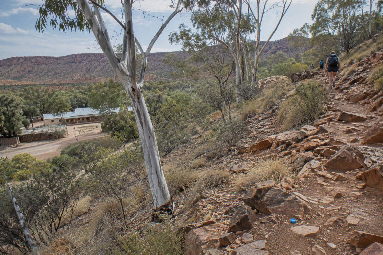
Why does this matter for the difficulty question? Because the trail is not a single walk but a chain of them. Section 10, Ormiston Gorge to Finke River, is 8.9 km with a recommended time of 4 hours, a genuine half-day stroll by Larapinta standards. Section 9, Serpentine Chalet Dam to Ormiston Gorge, is 28.9 km with a recommended 12 hours, a full dawn-to-dusk mission over rough ground. A fair answer to "how hard is it" has to treat those as different walks entirely.
The park itself sits on the homelands of Central Arrernte, Western Aranda and Luritja people and is jointly managed, and the trail crosses country where several dreaming trails and stories intersect, including at Simpsons Gap early in Section 1. That cultural depth is part of why many walkers want a guide's interpretation along with the logistics handled, rather than simply covering the kilometres.
That spread of difficulty is exactly why many walkers hand the logistics to a guided operator rather than self-managing food drops, campsite bookings and vehicle shuffles. The supported options are compared later in this article, and the comparison below pulls together the three that suit the widest range of budgets and time frames.
What Do The Official Section Grades Actually Mean?
Grade 4 and Grade 5 are the two highest walking grades the NT parks authority uses, and every graded Larapinta section carries one of them. Grade 4 tracks are rough and steep with signs and some formed track, aimed at walkers with bushwalking experience. Grade 5 tracks are very hard, long and often unformed, demanding high fitness, navigation skills and full self-sufficiency.
Sections 1 through 3, from the Telegraph Station through Simpsons Gap and Jay Creek to Standley Chasm, are all Grade 4. So are Section 6, the big 28.9 km Hugh Gorge to Ellery Creek North leg, Section 7 to Serpentine Gorge, and Section 12, the Mount Sonder return from Redbank Gorge. That Mount Sonder climb is 15 km with 6 recommended hours at Grade 4, which tells you a Grade 4 day here is a genuinely physical one, not a graded gravel path.
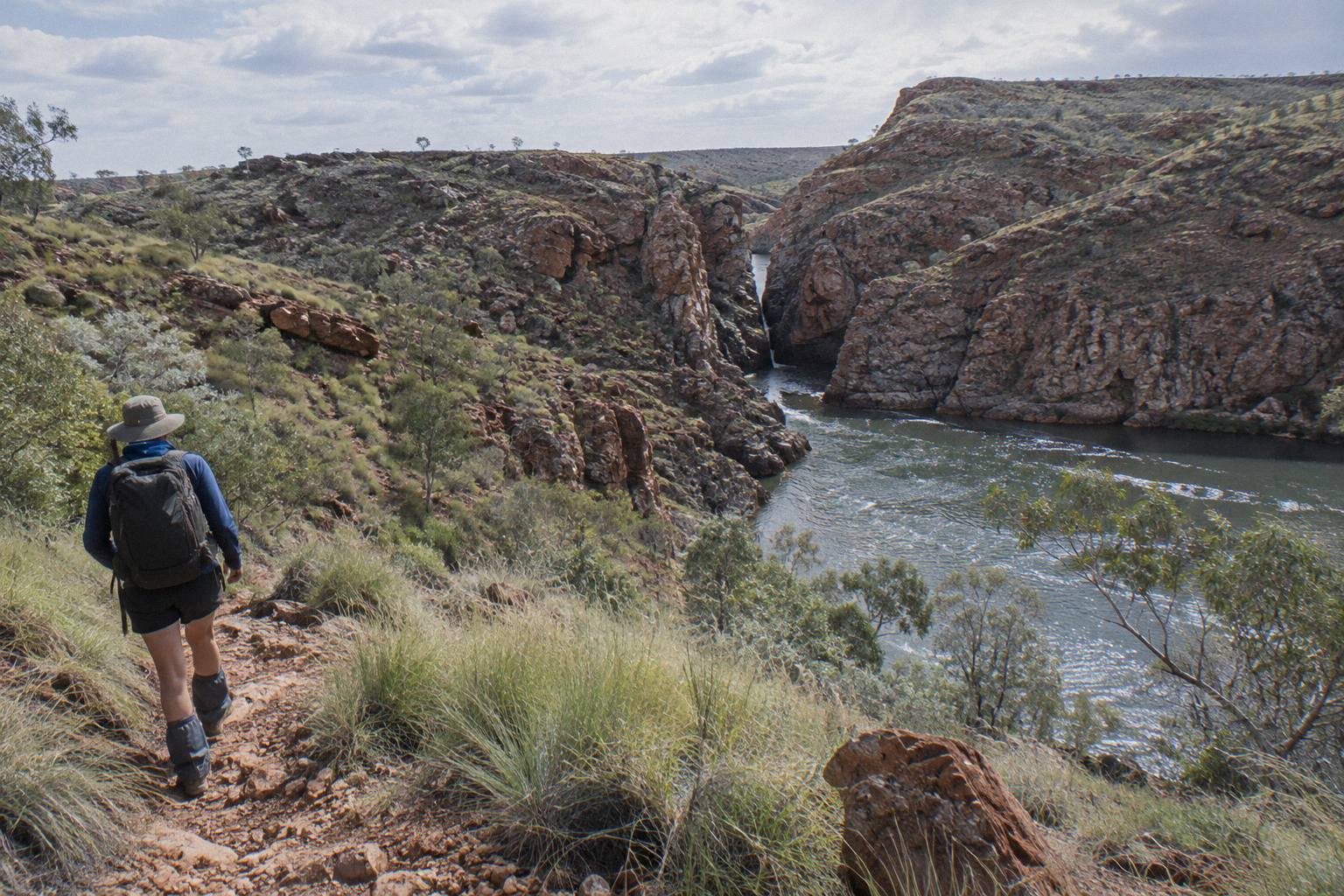
The Grade 5 sections are the trail's technical core: Section 4 from Standley Chasm to Birthday Waterhole, 17.9 km with 8.5 recommended hours, and Section 5 from Birthday Waterhole to Hugh Gorge, 14.9 km with 9.5 recommended hours. Notice the pattern. Section 5 is shorter than Section 4 by three kilometres yet needs an extra hour, because the ground is steeper, rougher and slower. Distance alone never tells you the difficulty on this trail; hours per kilometre is the better signal.
Some sections carry no published grade at all in the park's listing, including Section 8 and parts of the longer central legs. The absence of a grade is not an absence of difficulty. Treat any ungraded section as at least Grade 4 until the walker briefing at the ranger station says otherwise.
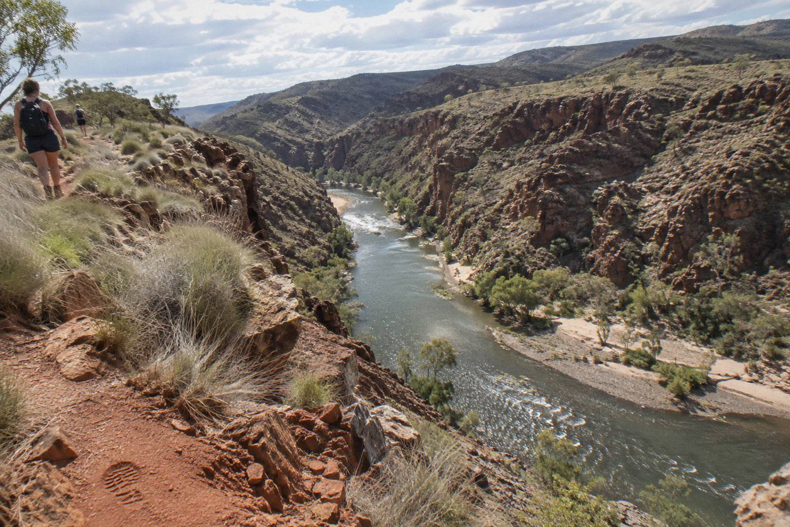
For context on what these grades demand, the park's planning page sets the frame for the whole trail: over 230 km, 12 sections, fuel stoves or free barbecues only, no campfires, and every campsite night booked and paid online before arrival. The official Larapinta planning page carries all of it. Planning burden is a real component of difficulty here, and it sits on top of the physical load rather than instead of it.
Is a guided trek the right call for handling that load?
How Far Is Each Section And How Long Does It Take?
Section distances run from 8.9 km to 28.9 km, and recommended hours run from 4 to 12 per section, which is the clearest single picture of the trail's difficulty. The shortest leg, Ormiston Gorge to Finke River, is a 4 hour Grade 4 walk. The longest legs, Hugh Gorge to Ellery Creek North and Serpentine Chalet Dam to Ormiston Gorge, both cover 28.9 km and need 10.5 and 12 hours respectively.
The full official breakdown, exactly as published by the parks authority:
| Section | Route | Distance | Recommended hours | Grade |
|---|---|---|---|---|
| 1 | Telegraph Station to Simpsons Gap | 24.7 km | 9 | 4 |
| 2 | Simpsons Gap to Jay Creek | 26.2 km | 8.5 | 4 |
| 3 | Jay Creek to Standley Chasm | 13.6 km | 5.5 | 4 |
| 4 | Standley Chasm to Birthday Waterhole | 17.9 km | 8.5 | 5 |
| 5 | Birthday Waterhole to Hugh Gorge | 14.9 km | 9.5 | 5 |
| 6 | Hugh Gorge to Ellery Creek North | 28.9 km | 10.5 | 4 |
| 7 | Ellery Creek North to Serpentine Gorge | 12.8 km | 5 | 4 |
| 8 | Serpentine Gorge to Serpentine Chalet Dam | 13 km | 5.5 | not published |
| 9 | Serpentine Chalet Dam to Ormiston Gorge | 28.9 km | 12 | not published |
| 10 | Ormiston Gorge to Finke River | 8.9 km | 4 | not published |
| 11 | Finke River to Redbank Gorge | 26.3 km | 9.5 | not published |
| 12 | Redbank Gorge to Mount Sonder return | 15 km | 6 | 4 |
Read that table as a pace study. The Grade 5 pair, Sections 4 and 5, average roughly half an hour per kilometre, which is slow, careful walking over broken rock. Sections 1 and 2, at Grade 4 near town, run closer to 20 minutes per kilometre. When a walker asks how hard the trail is, the honest reply is that the central sections demand roughly twice the time per kilometre of the openers, on worse ground, further from help.
The table also shows why the one-or-two-days-per-section design works the way it does. Sections 1, 2, 6, 9 and 11 all exceed 24 km, and three of those need at least 9.5 recommended hours. Those are days that start before dawn in the warmer shoulder months. By contrast Sections 3, 7, 8 and 10 all sit at or under 13.6 km with recommended times of 5.5 hours or less, which makes them the natural rest-day or half-day legs when a walker is building an itinerary around the official campgrounds.
How Does Heat Change The Difficulty?
Heat is the single biggest difficulty multiplier on the Larapinta Trail. Official guidance says temperatures can exceed 40 °C between October and April, that walkers in hot conditions should walk only in the morning and late afternoon, and that the trail is best walked from April to September. The parks authority also tells walkers to carry and drink plenty of water, wear a hat and avoid strenuous activity in the heat of the day.
That seasonal window is not a suggestion. A 24.7 km Grade 4 section with 9 recommended hours simply cannot be walked safely in the middle of a 40 °C day, because the hours exceed the safe walking window. In the cooler months the same section is a long but ordinary day. The same walk changes difficulty class with the calendar, which is why the best time of year matters as much as the grade, a question covered in detail in our guide to the best season for a Larapinta trek.
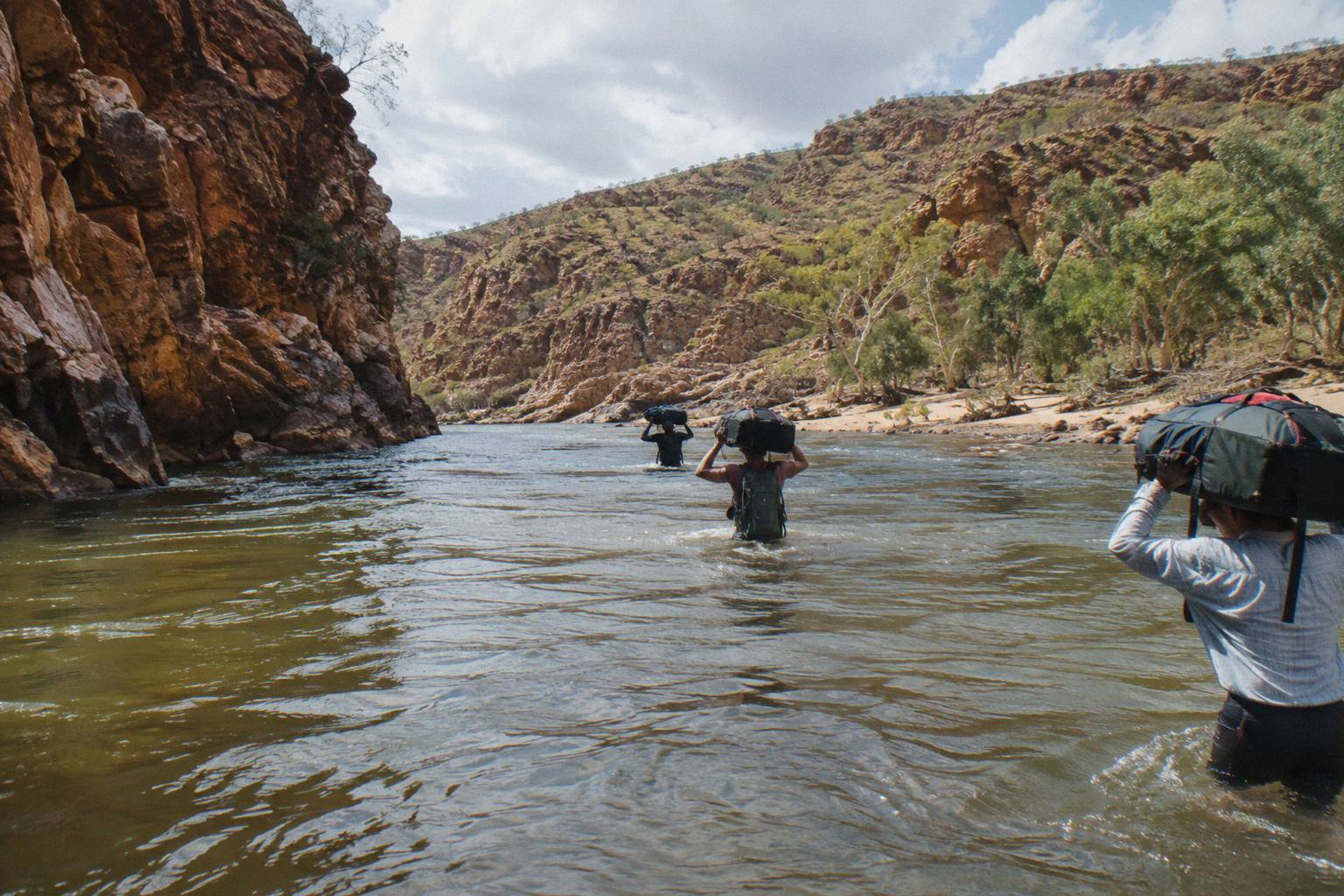
The waterhole swimming that people associate with the West MacDonnells is limited on the trail itself. The park's swimming guidance notes that most waterholes are extremely cold, that swimming is allowed only in designated spots, and that flash floods and storms are real hazards. Cold water is a hypothermia consideration at Ormiston Gorge, where the permanent waterhole reaches up to 14 m deep and the official page warns of hypothermia risk even in summer. Heat above, cold water below: the trail manages both extremes. Everything else covered here is indexed on West MacDonnell Ranges Tours.
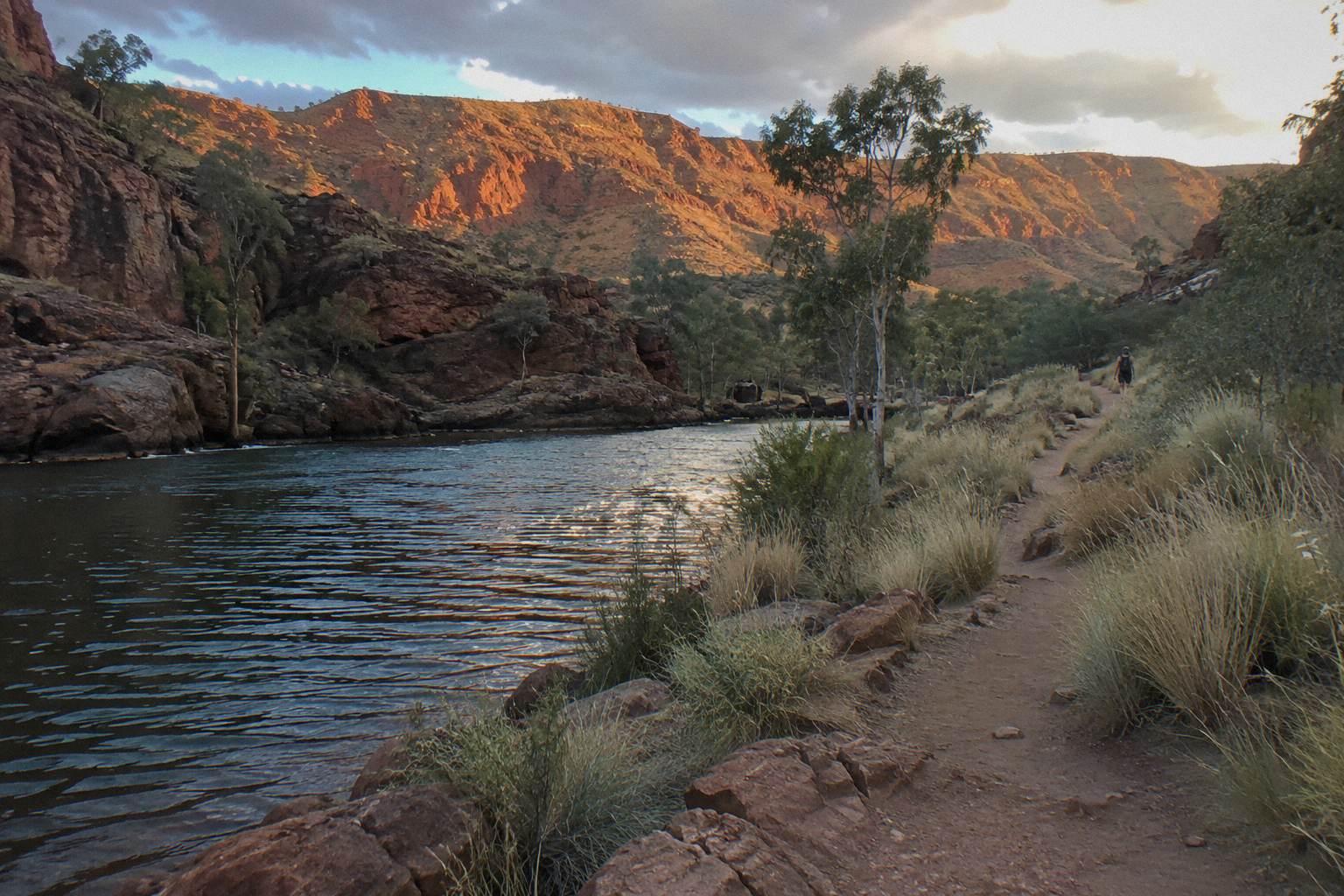
Rain plays a smaller but sharper role. Roads to trailheads such as Ellery Creek can be impassable for a short period after heavy rain, and the last stretches to some access points are unsealed. A walker planning their own food drops and vehicle access needs contingency time, because the outback road network does not guarantee schedules. Redbank Gorge, the trailhead for the Mount Sonder finish, sits behind a final 5 km of unsealed road that the park rates as high clearance 4WD only, which shapes how the last leg of the walk is resupplied and exited.
Heat also interacts with the camping system. Fuel stoves or the free barbecues are the only cooking option, fires are banned, and walkers carry what they need between designated campgrounds. Water planning in the hotter months is part of the difficulty that never appears in any grade, yet it is the one the safety guidance puts first: carry and drink plenty of water.
Why Do Walkers Pick A Guided Trek Over Walking Alone?
Guided treks shift the difficulty from physical plus logistical to mostly physical. A supported tour handles the campsite bookings, food, water planning and vehicle access, and puts an accredited guide on the rougher Grade 4 and 5 ground with the group. The park's own safety advice, which warns walkers not to walk alone and to carry a satellite phone or personal locator beacon rather than relying on mobiles, describes exactly the risk profile that guided groups manage.
Consider the arithmetic on self-sufficiency. Twelve sections, 26 designated campgrounds that must each be booked and paid online in advance, food for one to two weeks, water carriage between reliable sources, and a communications plan for country where mobile phones are not dependable. Every one of those items adds weight, literally and mentally, to a walk that is already Grade 4 and 5 terrain.
The supported alternatives span a wide range, and the differences matter more than the price tags:
| Tour | Duration | From price | Walking | Key inclusions |
|---|---|---|---|---|
| Larapinta 5-Day Safari Trek | 5.5 days | AU$3,125 | ~14 km guided, grade 2-5 | 4 nights private remote camp, camping gear, most meals, Alice Springs hotel pickup |
| 14-Day Larapinta Trail Walk | 14 days | price on the live listing | sections not named in listing | 13 nights bush camp with tents and swags, 13 breakfasts, 14 lunches, 13 dinners |
| 3-Day 4WD Camping Trek | 3 days | AU$896 | ~12 km guided | 2 nights permanent campsites, most meals, all national park entry fees |
The "Larapinta 5-Day Safari Trek" from Autopia Tours runs from AU$3,125 per person and covers roughly 14 km of guided bushwalking across grade 2 to 5 terrain, with four nights at a private remote campsite, all camping equipment including sleeping bags, most meals, and courtesy hotel pickup in Alice Springs. It is described in more detail in our guide to guided Larapinta walks, and you can check availability on the operator's live listing. Free cancellation applies up to 24 hours before departure.
At the other end of the commitment scale, the "14-Day Larapinta Trail Walk" from Walking Country is a guided walk where the operator does not say which sections are walked, over 13 nights of basic bush camps with tents and swags, 13 breakfasts, 14 lunches and 13 dinners included. It carries a 4.0 rating from 3 reviews, a small pool that says little either way, and its price is on the live listing rather than quoted in advance. The full comparison of every option sits in our Larapinta tours compared guide.
A middle path exists for walkers who want the ranges without the full trail commitment. The "3-Day 4WD Camping Trek" combines Kings Canyon and the West MacDonnells from AU$896 per person, with about 12 km of guided bushwalking, two nights at permanent outback campsites, most meals and all national park entry fees included. It is not the Larapinta end to end, but it samples the same country at a difficulty level most travellers can manage in a long weekend.
What Fitness And Preparation Does The Trail Demand?
The park publishes grades and hours rather than fitness standards, so the honest benchmark is its own numbers: expect days of 8.9 km to 28.9 km over rough, steep, rocky ground at Grade 4 to 5, taking 4 to 12 hours. Walkers comfortable with full-day hikes on rough terrain in Australian conditions fit the profile. Nothing in the official guidance qualifies that beyond the grades, the hours and the heat rules.
Preparation, per the official safety advice, means carrying and drinking plenty of water, wearing a hat, avoiding strenuous activity in the heat of the day, and noting the locations of emergency call devices. For remote walking the guidance is explicit: carry a satellite phone or personal locator beacon, and do not rely on mobile phones. The advice also says plainly not to walk alone, which is a planning constraint, not a preference.
Booking is its own preparation task. Campsite nights and walking trail fees are online-only, paid in advance, and camping along the trail at places such as Simpsons Gap is restricted to Larapinta Trail walkers or school groups. Fuel stoves or the free park barbecues are the only cooking options, with fires banned outright. A walker who arrives without those bookings has no fallback at the park.
Preparation should also account for walk conditions at the finishes and highlights. The Mount Sonder return that closes the trail is 15 km and 6 hours at Grade 4, usually walked in the dark to catch sunrise, which adds navigation and head-torch demands on top of the grade. The Ormiston area walks have their own quirks: the Pound Walk loop requires a short swim through deep cold water, and the park warns the waterhole there carries hypothermia risk even in summer. These are the details that separate a walker who has read the official pages from one who has not.
For a deeper look at how the trail splits into manageable pieces, our Larapinta Trail sections guide walks through each leg in turn, and the map and route guide covers access points along Larapinta and Namatjira Drive. Deciding how many days you need is its own question, addressed in full in how many days it takes to walk the Larapinta Trail.
Three supported options cover most walkers' needs, from a five-day taste to the fourteen-day guided Larapinta walk and a shorter camping trek that pairs the ranges with Kings Canyon.
Common Questions About The Larapinta Trail Hike
How Hard Is The Larapinta Trail?
Every graded section is Grade 4 or Grade 5, meaning demanding to very hard walking. Distances run 8.9 km to 28.9 km per section with recommended times of 4 to 12 hours, and heat above 40 °C between October and April makes the same walks significantly harder. The trail is best walked from April to September.
Can You Walk The Larapinta Trail Alone?
The parks authority advises walkers not to walk alone, and to carry a satellite phone or personal locator beacon rather than relying on mobile phones. Walkers who want support can choose a guided trek such as the five-day safari, which includes an accredited guide and all camping equipment.
Which Larapinta Sections Are The Hardest?
Sections 4 and 5, Standley Chasm to Birthday Waterhole and Birthday Waterhole to Hugh Gorge, are the only Grade 5 legs. Section 5 needs 9.5 recommended hours for 14.9 km, the slowest pace on the trail. Section 9, at 28.9 km and 12 recommended hours, is the longest single day.
How Fit Do You Need To Be For The Larapinta Trail?
The park publishes grades and hours rather than fitness standards. The benchmark is its own numbers: full days of 8.9 km to 28.9 km over rough, steep, rocky ground, walking 4 to 12 hours. Experience with full-day hikes on rough Australian terrain fits the profile.
Do You Need To Book Larapinta Campsites In Advance?
Yes. Every night must be booked and each walking trail fee paid online before you go; payment at the park is not available. The 26 designated campgrounds fill in the April to September season, and camping at Simpsons Gap is limited to trail walkers and school groups.
Can A Beginner Walk Part Of The Larapinta Trail?
Individual sections such as Ormiston Gorge to Finke River, at 8.9 km and 4 recommended hours, are achievable for less experienced walkers in cool conditions. The Grade 5 central sections are not beginner ground. A guided short trek is the lower-commitment way to see the same country.