Larapinta Trail Map: Route, Trailheads And Where Tours Join It
The Larapinta Trail runs more than 230 kilometres across Tjoritja / West MacDonnell National Park, from the Alice Springs Telegraph Station to the summit of Mount Sonder. Here is the full route, section by section, every trailhead, and the guided treks that cover parts of it.
Short answer
The Larapinta Trail stretches over 230 km through Tjoritja / West MacDonnell National Park in 12 sections, starting at the Alice Springs Telegraph Station and finishing at the summit of Mount Sonder. Section lengths run from 8.9 km to 28.9 km. Guided options include a 5-day trek from AU$3,125 and a 14-day guided Larapinta walk.
The Larapinta Trail is one of Australia's great long-distance walks: more than 230 kilometres of track crossing the spine of Tjoritja / West MacDonnell National Park, a 252,800 hectare reserve gazetted in October 2014 on the homelands of the Central Arrernte, Western Aranda and Luritja people. Every one of its 12 sections starts or ends at a named gorge, gap or waterhole that you can also reach by road, which is exactly why a map-first approach to planning works so well here. You do not need to walk all 230 km to see the best of it, and you do not need to be fully self-supported either.
This guide lays out the route the way a trekker actually plans it. First the start and end points, then all 12 sections with distances, recommended hours and grades, then the trailheads and how each connects to the sealed Larapinta and Namatjira drives. Finally, it maps the guided treks onto the trail, showing which sections the roster's tour operators actually walk so you can match a tour to the part of the map you care about.
Where Does The Larapinta Trail Start And End?
The trail starts at the Alice Springs Telegraph Station on the northern edge of Alice Springs and ends at the summit of Mount Sonder, 15 km beyond Redbank Gorge in the far west of Tjoritja / West MacDonnell National Park. In between it crosses 12 sections totalling more than 230 km, each one to two days of walking, connected end to end through gorges and ridgelines.
Those two anchors matter for planning because both are reachable without a 4WD. The Telegraph Station sits inside Alice Springs town, so section 1 begins within a short drive of any hotel. Mount Sonder, known as Rutjupma in Western Aranda, is climbed from Redbank Gorge at the end of the road network, where the sealed Namatjira Drive gives way to the last 5 km of unsealed track. If you're still weighing whether the whole route fits your trip, our guide to how many days it takes to walk the Larapinta Trail breaks the pacing question down separately.
The direction matters too. Almost everyone walks west to east in reverse, no: the standard direction is east to west, Telegraph Station to Sonder, and that is the way the official section numbering runs. Walking west means the sun is behind you through the morning stages and the walk builds to the Mount Sonder summit, which most trekkers climb at dawn from Redbank Gorge. A fuller treatment of direction choice, and the arguments for starting at either end, is in our Larapinta Trail map and route planning companion, which pairs with this page.
One orientation fact that surprises first-time visitors: the park stretches about 161 km west of Alice Springs, but the trail inside it winds for more than 230 km because it climbs onto ridge spurs, drops into each major gorge and follows the ranges rather than the highway. The straight-line map distance and the walking distance differ by nearly half.
The 12 Sections At A Glance
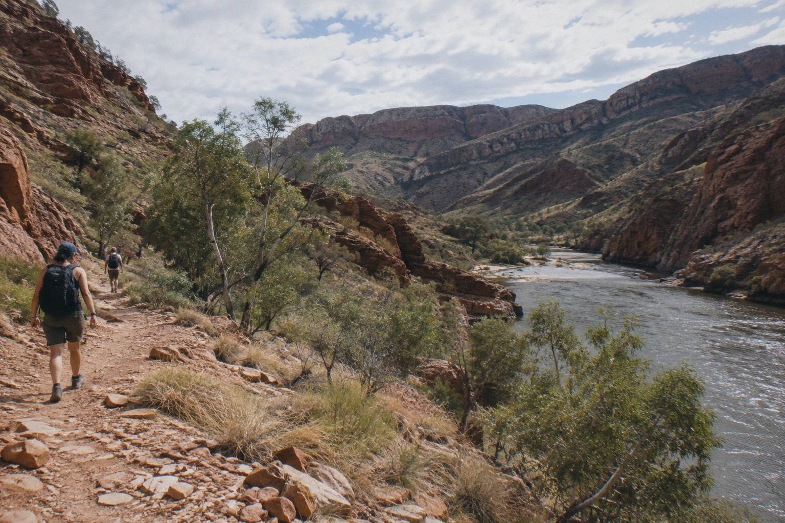
The 12 sections range from 8.9 km to 28.9 km and each is rated between Grade 4 and Grade 5 under the Australian Walking Track Grading System. Recommended walking times run from 4 hours on the shortest section to 12 hours on the two longest. Together they connect the trailheads named in the table below, in order, from Alice Springs to Mount Sonder.
Here is the complete route as the Northern Territory parks service publishes it. Distances are one-way for each section, and the recommended hours are the official planning figures, not race times. Grade 4 means rough track, steep sections and some bushwalking experience; Grade 5 means sustained steep climbing and remote walking where navigation skills matter.
| Section | Start | End | Distance | Hours | Grade |
|---|---|---|---|---|---|
| 1 | Alice Springs Telegraph Station | Simpsons Gap | 24.7 km | 9 | 4 |
| 2 | Simpsons Gap | Jay Creek | 26.2 km | 8.5 | 4 |
| 3 | Jay Creek | Standley Chasm | 13.6 km | 5.5 | 4 |
| 4 | Standley Chasm | Birthday Waterhole | 17.9 km | 8.5 | 5 |
| 5 | Birthday Waterhole | Hugh Gorge | 14.9 km | 9.5 | 5 |
| 6 | Hugh Gorge | Ellery Creek North | 28.9 km | 10.5 | 4 |
| 7 | Ellery Creek North | Serpentine Gorge | 12.8 km | 5 | 4 |
| 8 | Serpentine Gorge | Serpentine Chalet Dam | 13 km | 5.5 | 4 |
| 9 | Serpentine Chalet Dam | Ormiston Gorge | 28.9 km | 12 | 5 |
| 10 | Ormiston Gorge | Finke River | 8.9 km | 4 | 4 |
| 11 | Finke River | Redbank Gorge | 26.3 km | 9.5 | 4 |
| 12 | Redbank Gorge | Mount Sonder return | 15 km | 6 | 4 |
Two patterns jump out of that table. Sections 6 and 9, the two 28.9 km days, are the structural challenge of a full thru-hike, and both finish at trailheads with campgrounds, Hugh Gorge excepted, so most itineraries build a short recovery day around them. Section 12 is the only one written as a return walk: you climb Mount Sonder from Redbank Gorge and come back to the same trailhead, which is why many trekkers finish the trail there and get collected by road.
If you are mapping a self-guided walk, the official planning guidance from the NT parks Larapinta Trail planning page is the primary source for section closures, camping bookings and walking fees, and it is worth re-reading close to your departure date because conditions change after storms.
For trekkers who would rather have a guide handle the logistics, these are the three options that map most directly onto the route:
Trailheads And Road Access Along The Route
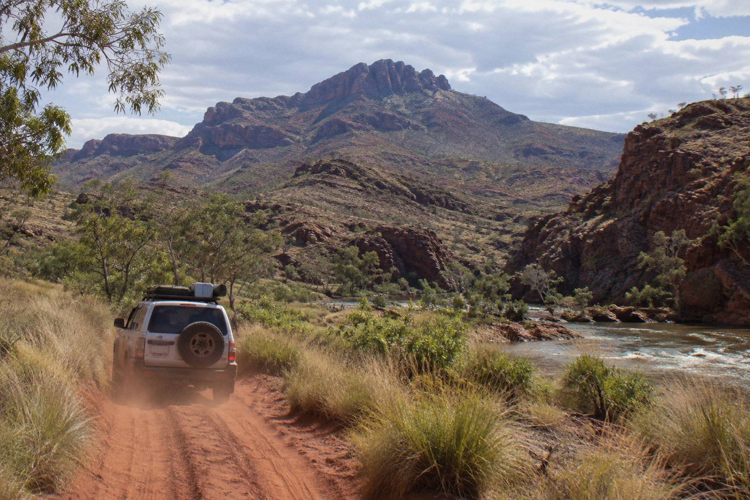
Every section end point doubles as a road-accessible trailhead reached via Larapinta Drive or Namatjira Drive, the two sealed roads running west from Alice Springs. Simpsons Gap is a 20 minute drive from town, Ormiston Gorge is 135 km west and sealed, and only Redbank Gorge, the final trailhead, requires high-clearance 4WD on its last 5 unsealed kilometres.
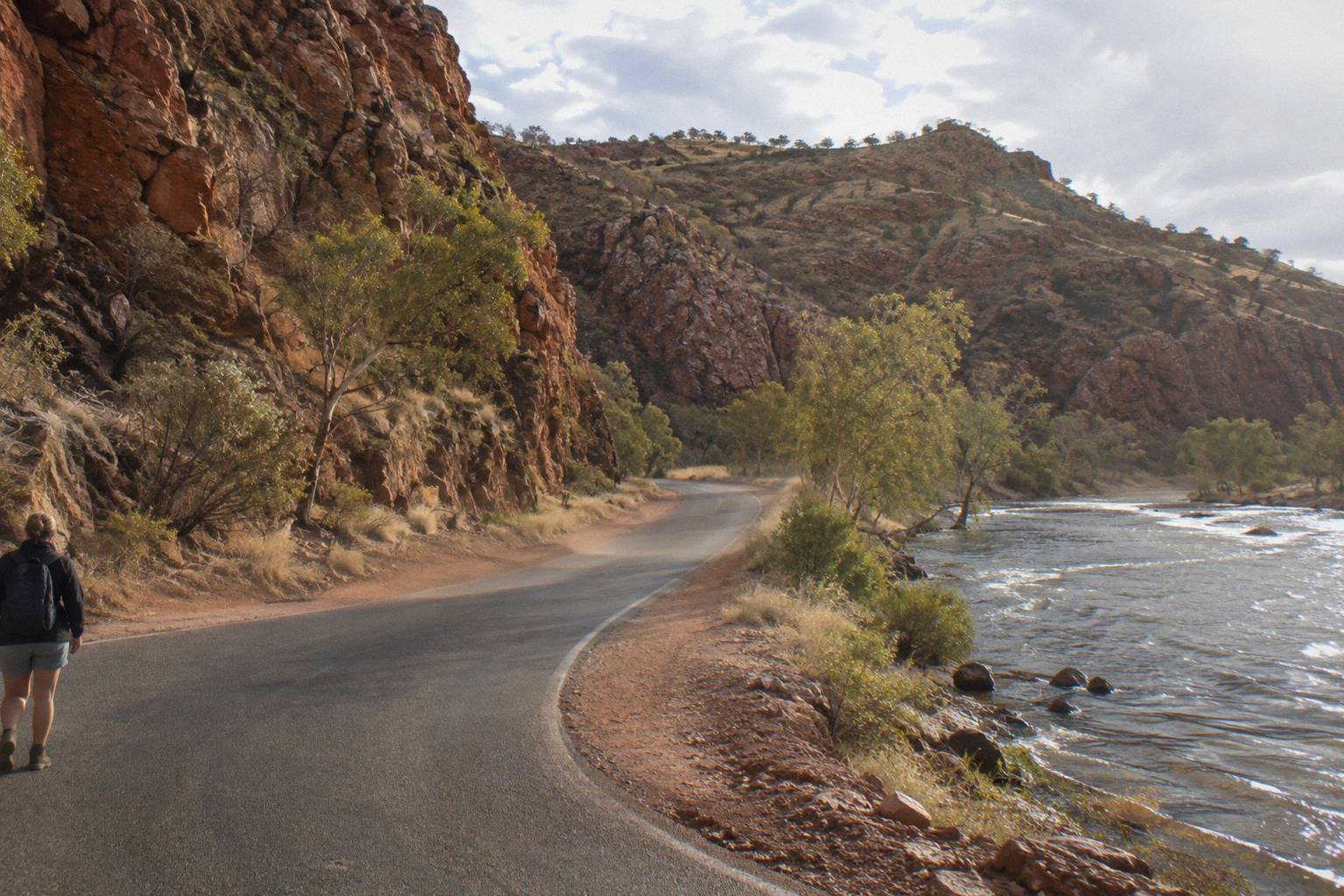
This dual structure, a walking trail threaded through a road corridor, is the single most useful thing to understand about a Larapinta map. It means you can walk selected sections as day hikes from vehicle access, and it means commercial tours can drop trekkers at trailheads and pick them up at the far end. It also means a support driver or a tour vehicle can shadow most of the route without ever leaving formed roads, except at Redbank.
| Trailhead | Road distance from Alice Springs | Road type | Trail role |
|---|---|---|---|
| Alice Springs Telegraph Station | In town | Sealed | Start of section 1 |
| Simpsons Gap | 18 km turn-off | Sealed | End of section 1, start of 2 |
| Standley Chasm | About 50 km west | Sealed | End of section 3 |
| Ellery Creek Big Hole | About 90 km west | Sealed, last 2 km unsealed | End of section 6 |
| Serpentine Gorge | 100 km west | Sealed access | End of section 7 and 8 |
| Ormiston Gorge | 135 km west | Sealed | End of section 9 |
| Glen Helen Gorge | 132 km west | Sealed | Near the Finke River end of section 10 |
| Redbank Gorge | About 155 km west | Last 5 km unsealed, 4WD only | End of section 11, base for Mount Sonder |
A few access notes fill out the map. Serpentine Gorge, 100 km west by the Tourism NT measure, has a carpark, picnic area and public toilet at the trailhead for sections 7 and 8. Glen Helen Gorge sits at the Finke River end of section 10 with coach parking, a restaurant and campsites, which makes it the classic resupply point for the western half. The Ochre Pits, 110 km west, sit just off the corridor between Standley Chasm and Serpentine, and most westbound vehicles pass the turn-off. Redbank Gorge is the strict one: the parks service states plainly that it is accessible by 4WD only, high clearance, and its two category B campgrounds sit at the base of Mount Sonder.
Standley Chasm deserves a note of its own because it is the only trailhead on the trail that is privately operated. The operator's own directions page describes it as a 40 minute sealed drive from Alice Springs and an important cultural place, sacred to the Arrernte people. Entry there is a separate fee from any parks pass, a distinction we cover in detail in the Standley Chasm entry fee guide.
Will you need to buy a parks pass to walk these sections? Yes, visitors need an NT Parks Visitor Pass, sold online only, and it is separate from the trail's camping and walking fees. The full fee structure, including which guided tours bundle the pass and which leave it to you, is laid out in our guide to NT Parks passes and fees for West Macs tours.
Where Guided Tours Join The Larapinta Trail
Three roster tours put boots on the trail itself: a 5-day safari trek from AU$3,125 that walks guided stages from a private campsite, a 14-day guided Larapinta walk from Alice Springs, and, at the sampler end, day tours that visit trailhead gorges such as Simpsons Gap and Standley Chasm without overnight trekking. Each maps onto a different slice of the route.
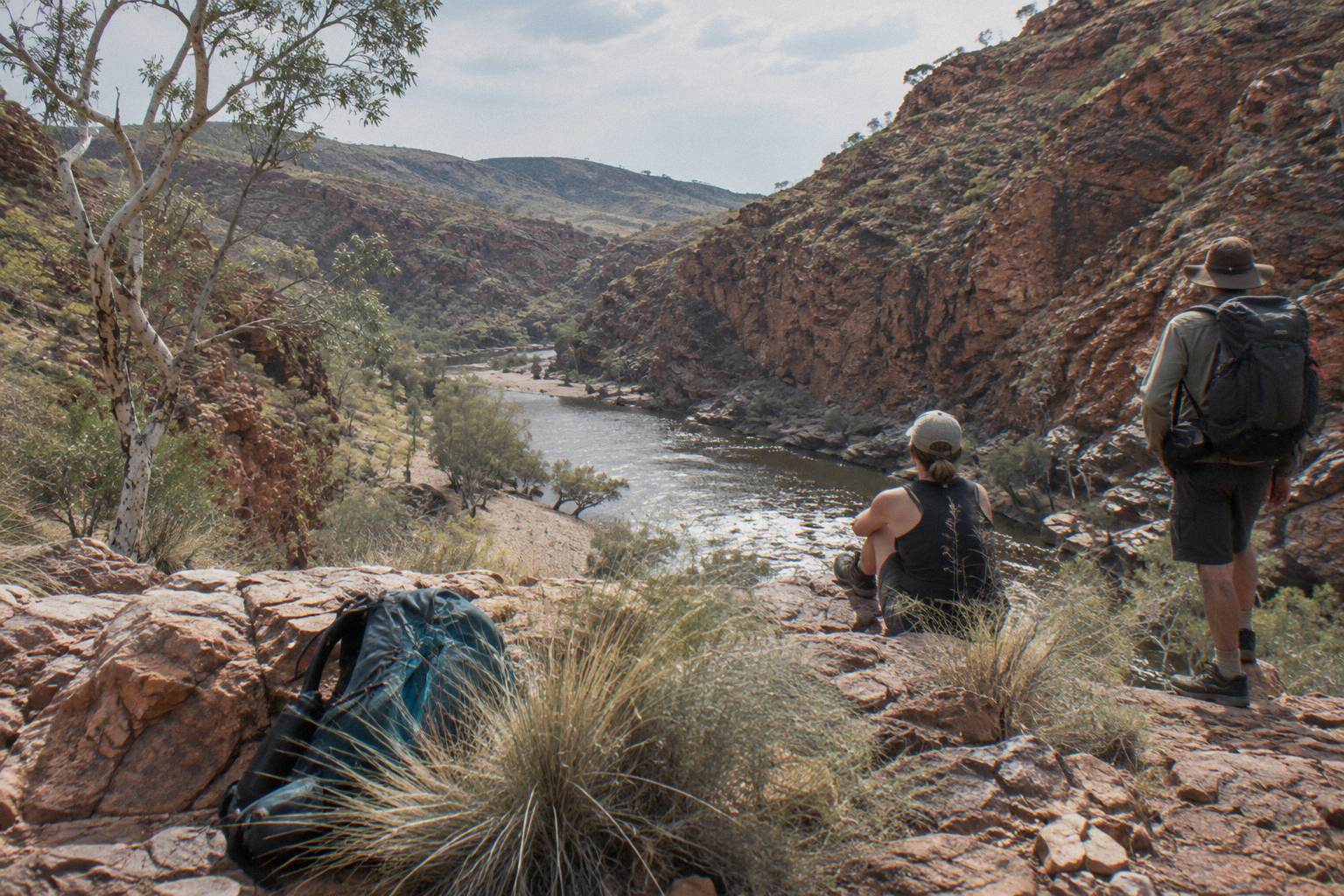
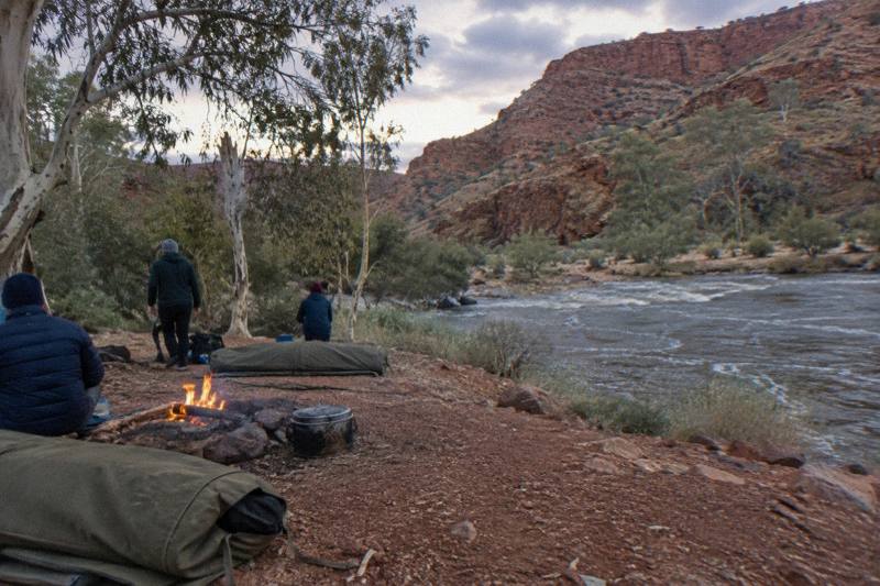
The 5-day option, "Alice Springs: Larapinta Hiking Trail 5-Day Adventure Safari" run by Autopia Tours, is the mid-map choice. It bases at a private, remote campsite on traditional land for four nights, walks roughly 14 km of guided bushwalking per day at grades 2 to 5, and handles all camping equipment, most meals and hotel pick-up in Alice Springs. Free cancellation applies up to 24 hours before departure. It suits trekkers who want the trail's ridge walking and gorge camps without carrying a full pack or organising the campsite bookings themselves.
The 14-day "Larapinta Trail Walking Tour from Alice Springs", run by Walking Country, is the longest guided option: 13 nights in basic bush camps with tents and swags, all trail meals included, though the operator does not say which sections are walked. It holds a 4.0 rating from 3 reviews, a small pool, so treat that figure with the caution a three-review sample deserves. Its price is on the operator's live listing rather than published as a from-figure. For comparing the two head to head, our Larapinta Trail tours compared guide works through the trade-offs.
The third way tours intersect the trail is the day-trip layer. Full-day coach tours from Alice Springs follow the same road corridor the trail shadows, stopping at Simpsons Gap, Honeymoon Gap, Standley Chasm, Ellery Creek Big Hole and Ormiston Gorge, all of them trailhead names from the section table above. The "From Alice Springs: West MacDonnell Ranges Day Trip" by Emu Run Experience, from AU$249 per person and rated 4.7 from 336 reviews, is the established option, with Standley Chasm entry included and the NT Parks pass bought separately online. It is not a trek, but it is a legitimate way to preview the trail's signature gorges before committing 5 or 14 days to them.
If you want a fuller treatment of which operators walk which stages, and how the guided market divides between supported camping and lodge-style approaches, the guided Larapinta walks guide covers it in depth.
Which Direction Should You Walk The Route?
The standard direction is east to west, Alice Springs Telegraph Station to Mount Sonder, and it is the direction the official section numbering, signage and most itineraries assume. West to east is permitted and some trekkers prefer it, finishing on the town-side sections where resupply and mobile coverage return sooner. Your transport plan usually decides the question.
The practical logic is transport. Walking west to east in reverse, meaning Sonder first, puts you on the 4WD-only Redbank road on day one or two, when a hire 4WD or a pre-arranged transfer is easiest to schedule, and finishes with a walk into Alice Springs where every service exists. Walking the standard way, you start in town and need the 4WD logistics at the far end, which is where guided tours earn their fee: a tour vehicle meets you at Redbank regardless of direction. Other pages covering the same trip are gathered on West MacDonnell Ranges Tours.
Dawn is the other factor. Mount Sonder is the classic sunrise summit, a 15 km return climb from Redbank graded 4 and best done in the cool of early morning. West-to-east standard walkers reach it at the end of their trek, when legs are strongest and the pre-dawn start is a celebration rather than a shock. If sunrise photography is the goal, pair this page with the Mount Sonder sunrise hike guide for the timing detail.
Camping, Passes And Booking Rules Along The Route
The trail has 26 designated category B campgrounds plus one private campground at Standley Chasm, and every night must be booked and paid online before you go, there is no pay-at-park option. Walking fees are separate from camping fees, and both sit on top of the NT Parks Visitor Pass. Fuel stoves or the free park barbecues only, no open fires anywhere on the route.
That online-only rule trips up overseas trekkers regularly. The parks booking system requires you to be logged in, and the campsites at popular trailheads such as Ellery Creek Big Hole and Ormiston Gorge fill first because they double as road-accessible campgrounds for car campers and tour groups. Trekkers walking the full route should book the whole chain of nights in one sitting once dates are fixed, because a single unbooked night in the western sections can force a redraw of the entire itinerary.
The category B campgrounds along the route share a basic standard: a toilet, a water source that generally needs boiling, and a gas barbecue or firepit, though fires are banned on the trail itself. Two exceptions are worth marking on your map. Ormiston Gorge's campground has showers and accepts all vehicle types including caravans, which makes it a common rest point. Redbank's two campgrounds, Ridgetop and Woodland, take caravans at Woodland only, and both sit behind that 4WD-only access road.
| Booking item | What it covers | How to book |
|---|---|---|
| NT Parks Visitor Pass | Park entry for visitors, from AU$10 adult for 1 day | Online only, before you go |
| Walking trail fees | Larapinta Trail use, per trekker | Online, with camping bookings |
| Campground nights | Each night on the route, 26 sites plus Standley Chasm private site | Online, no pay-at-park |
| Standley Chasm entry | Separate private entry, not a parks pass item | At the chasm or via the operator |
Guided trekkers sidestep most of this table. The 5-day safari trek's private campsite and the 14-day walk's bush camps are booked by the operator as part of the package, and the 3-day and 4-day Red Centre camping tours in the broader roster include all national park entry fees in their from-prices. Whether that convenience is worth paying for is a fair question, and the answer depends almost entirely on how much of the route you intend to walk.
Season, Water And Safety On The Route
The trail is best walked from April to September, the cooler months, because temperatures can exceed 40 degrees Celsius between October and April and the official advice limits walking to mornings and late afternoons in heat. Carry a satellite phone or personal locator beacon, do not rely on mobile coverage, and treat every waterhole along the route as cold, with several strictly off-limits for swimming.
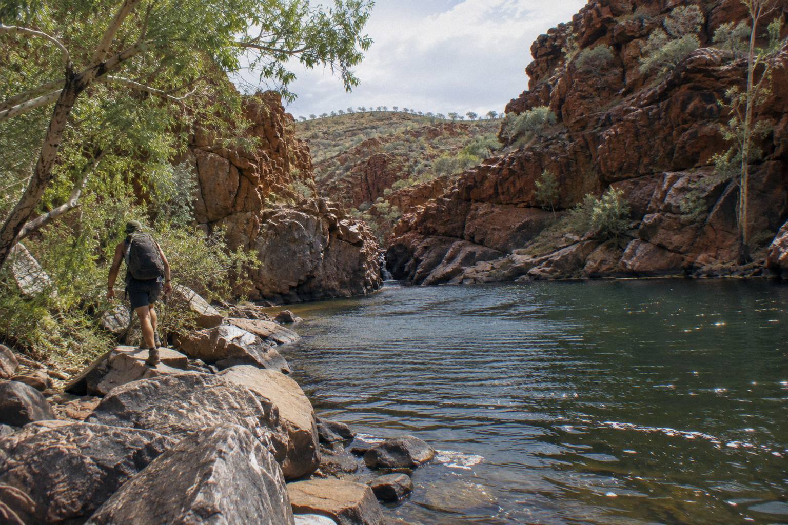
The cold-water point surprises people who picture the Red Centre as uniformly hot. Ormiston Gorge's permanent waterhole reaches up to 14 m deep at its southern end and carries a hypothermia risk even in summer; Redbank Gorge's waterhole is cold enough that a flotation device is recommended for the walk through the gorge. The official swimming guidance is to swim only where permitted, and Simpsons Gap is not, its waterhole is closed to swimming entirely. Our swimming holes of the West MacDonnell Ranges guide lists which waterholes allow a dip and which do not.
| Season | Trail conditions | Planning notes |
|---|---|---|
| April to September | Cooler, prime walking season | Campgrounds busiest, book early |
| October to April | Heat can exceed 40 °C | Walk mornings and late afternoon only, check heatwave warnings |
| After heavy rain | Some roads briefly impassable | Ellery access road can close; check conditions before driving trailheads |
Rain affects the map as much as heat. The parks service notes that roads can be impassable for a short period after heavy rain, and the unsealed approaches to Ellery Creek and Redbank are the first to go. Walk closures happen too: storm damage has closed individual walks at Simpsons Gap in the past, and the Ormiston kiosk has closed for whole seasons. The operator side absorbs some of this, Alice Holiday Tours states that if attractions close for circumstances beyond its control a suitable alternative is provided, and the 6-day astronomy tour's terms promise a full refund if a core component is removed. For current conditions, the official sections page on nt.gov.au is the page to check.
Safety guidance from the parks service is consistent across the route: carry and drink plenty of water, wear a hat, avoid strenuous activity in the heat of the day, and note the locations of emergency call devices. The trail-specific additions are the ones above: do not walk alone, carry a satellite phone or personal locator beacon, and do not rely on mobile phones. This is a genuinely remote walk for most of its length, and the map's road corridor can create a false sense of proximity.
Planning Your Own Itinerary From The Map
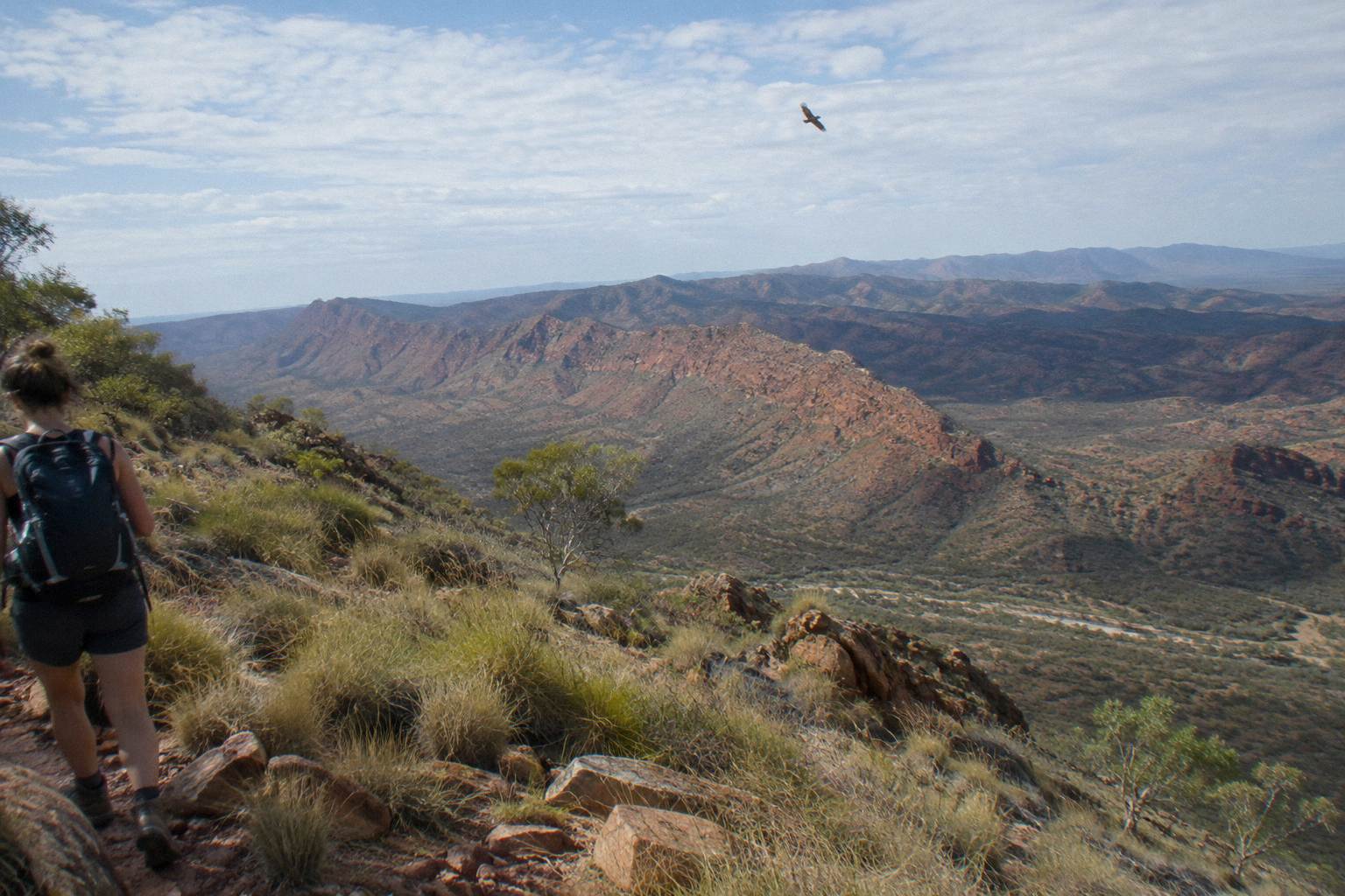
A sensible self-guided plan strings the 12 sections into 12 to 16 walking days, breaking the two 28.9 km sections with a rest day and finishing with the Mount Sonder dawn climb from Redbank Gorge. Trekkers with a week usually pick the western half, sections 6 through 12, where the biggest gorges and the signature ridgeline walking sit. Shorter again, three to five days covers the Standley Chasm to Ormiston stretch.
Start from the section table and work backwards from your available days. The classic full-route shape is 14 days plus a rest day at Ormiston or Glen Helen, which is precisely the shape the 14-day guided walk takes. A 10 to 12 day plan compresses by pairing section 7 and 8 in one day, both are short, and pushing section 10 together with part of 11. Below ten days you are section-selecting, and the map makes the logic easy: pick contiguous sections that start and end at sealed trailheads so a vehicle can meet you.
| Days available | Sections | Start and finish trailheads | Character |
|---|---|---|---|
| 12 to 16 | 1 to 12 | Telegraph Station to Redbank | Full thru-hike with Sonder summit |
| 7 to 9 | 6 to 12 | Ellery Creek to Redbank | Big gorges, high ridges, dawn summit |
| 4 to 5 | 3 to 6 | Standley Chasm to Ellery Creek | Ridge camps, Hugh Gorge scramble |
| 2 to 3 | 8 to 10 | Serpentine to Ormiston or Finke | Compact gorge highlight run |
The half-week shapes are where day tours and treks blur. If you fly in with only one spare day, a coach day trip along the corridor gives you Simpsons Gap, Standley Chasm and often Ormiston in a single 9 to 10 hour outing, the same trailheads the trek takes days to reach on foot. It is a different experience from the trail itself, but for many travellers it is the honest fit, and it costs from AU$249 rather than AU$3,125.
Whatever shape you choose, one West MacDonnell Ranges Tours planning principle holds: match the map to your legs, not the other way around. The trail's grade-5 middle sections around Standley Chasm and Serpentine Chalet Dam are a different undertaking from the gentler town-side opening, and no itinerary survives contact with a 40 degree day.
Before you commit to any plan, these are the three tour options that best fit the three most common Larapinta map strategies:
Common Questions About The Larapinta Trail Map
Where Does The Larapinta Trail Start And End?
The trail starts at the Alice Springs Telegraph Station and ends at the summit of Mount Sonder, reached by a 15 km return climb from Redbank Gorge. The route covers more than 230 km across 12 sections through Tjoritja / West MacDonnell National Park.
How Many Sections Does The Larapinta Trail Have?
The trail has 12 sections, each typically one to two days of walking. Section lengths run from 8.9 km, Ormiston Gorge to Finke River, to 28.9 km on the Hugh Gorge to Ellery Creek and Serpentine Chalet Dam to Ormiston stages.
Can You Access Larapinta Trail Trailheads By Road?
Yes. Every section end point is road-accessible via the sealed Larapinta and Namatjira drives, from Simpsons Gap 18 km out to Ormiston Gorge 135 km west. The exception is Redbank Gorge, where the last 5 km are unsealed and restricted to high-clearance 4WD.
Do You Need To Book Campsites On The Larapinta Trail In Advance?
Yes. Every night must be booked and paid online before you go through the parks booking system, there is no pay-at-park option. Camping fees and walking trail fees are separate from the NT Parks Visitor Pass.
Which Guided Tours Actually Walk The Larapinta Trail?
The roster's trekking options are a 5-day hiking adventure safari from AU$3,125 per person with four nights at a private remote campsite, and a 14-day guided Larapinta walk with 13 nights in bush camps, priced on the operator's live listing. Day tours along the road corridor visit trailhead gorges without overnight trekking.
When Is The Best Time Of Year To Walk The Larapinta Trail?
April to September, the cooler months. Between October and April temperatures can exceed 40 °C and official advice restricts walking to mornings and late afternoons. Roads to some trailheads can also be briefly impassable after heavy rain.