Larapinta Trail Sections: What Each Stage Is Like
The Larapinta Trail runs over 230 km across twelve numbered sections from the Alice Springs Telegraph Station to the summit of Mount Sonder. Here is what each section involves, in distance, recommended walking hours and grade, and how to pick the stages that suit you.
Short answer
The Larapinta Trail has 12 sections totalling 231.1 km, from 8.9 km to 28.9 km each, starting at the Alice Springs Telegraph Station and finishing on Mount Sonder. Each section takes one to two days, the best walking season is April to September, and every night must be booked and paid online in advance.
What Are The Larapinta Trail Sections?
The Larapinta Trail sections are the twelve numbered stages that make up the full 231.1 km walking route through Tjoritja / West MacDonnell National Park. Officially described as over 230 km in total, the trail is divided so that each section takes walkers roughly one to two days to complete, letting trekkers tackle the route stage by stage rather than all at once. The route starts at the Alice Springs Telegraph Station and finishes at the summit of Mount Sonder, crossing country that is the homelands of Central Arrernte, Western Aranda and Luritja people and is jointly managed as a national park that was gazetted on 15 October 2014. The sections vary from 8.9 km to 28.9 km in length, and walkers must book and pay for every night's campground online before setting out on the track.
The numbering is not arbitrary. Section 1 begins a short distance from Alice Springs town centre, and the numbers climb steadily west as the trail moves deeper into the ranges, ending at Mount Sonder, which the park gives the Western Aranda name Rutjupma. Because the sections run in strict sequence, most walkers either thru-hike the lot over roughly two weeks or cherry-pick a handful of stages, using Larapinta Drive and Namatjira Drive, both sealed, to reach the trailheads by car or tour vehicle.
A section-by-section view matters because the trail does not build evenly. Some of the shortest sections carry the highest grades, and two of the longest days sit either side of Hugh Gorge. Choosing well means matching your days to your fitness, your water planning and the time you actually have available, and the tables further down this page exist to make that matching exercise concrete rather than guesswork.
All Twelve Larapinta Trail Sections: Distance, Hours And Grade
Section lengths run from 8.9 km to 28.9 km and recommended walking times from 4 to 12 hours, with published grades of 4 or 5 for sections 1 to 7 and section 12, and no published grade for sections 8 to 11. The table below lists every section exactly as the NT parks authority records it. Section 9, Serpentine Chalet Dam to Ormiston Gorge, carries the longest recommended walking time at 12 hours, while section 10 from Ormiston Gorge to the Finke River is the shortest day on the whole trail at 8.9 km.
| Section | Route | Distance | Recommended hours | Grade |
|---|---|---|---|---|
| 1 | Telegraph Station to Simpsons Gap | 24.7 km | 9 | 4 |
| 2 | Simpsons Gap to Jay Creek | 26.2 km | 8.5 | 4 |
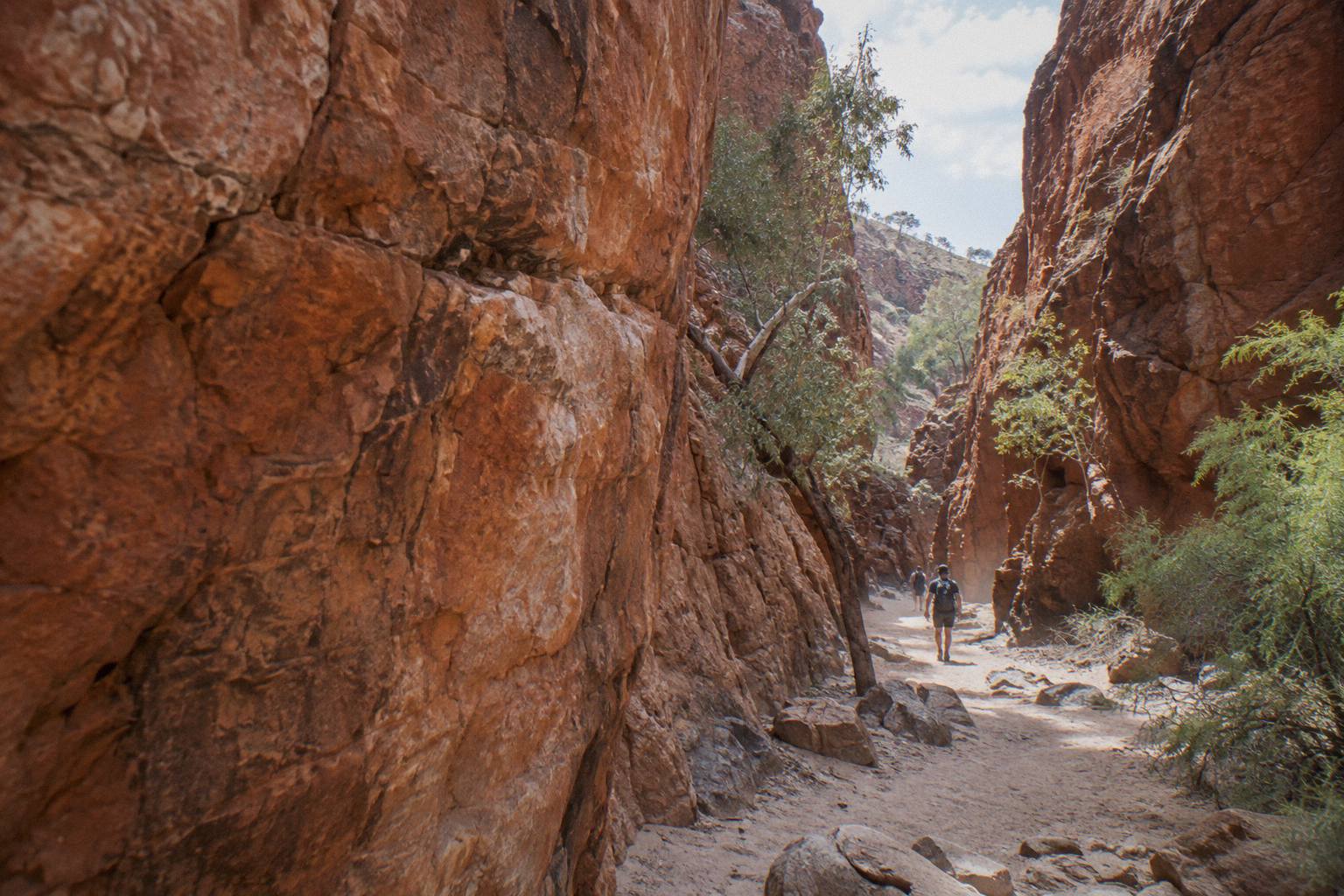
| 3 | Jay Creek to Standley Chasm | 13.6 km | 5.5 | 4 |
| 4 | Standley Chasm to Birthday Waterhole | 17.9 km | 8.5 | 5 |
| 5 | Birthday Waterhole to Hugh Gorge | 14.9 km | 9.5 | 5 |
| 6 | Hugh Gorge to Ellery Creek North | 28.9 km | 10.5 | 4 |
| 7 | Ellery Creek North to Serpentine Gorge | 12.8 km | 5 | 4 |
| 8 | Serpentine Gorge to Serpentine Chalet Dam | 13 km | 5.5 | no published grade |
| 9 | Serpentine Chalet Dam to Ormiston Gorge | 28.9 km | 12 | no published grade |
| 10 | Ormiston Gorge to Finke River | 8.9 km | 4 | no published grade |
| 11 | Finke River to Redbank Gorge | 26.3 km | 9.5 | no published grade |
| 12 | Redbank Gorge to Mount Sonder return | 15 km | 6 | 4 |
The pattern is worth reading twice. The two grade-5 sections, 4 and 5, sit between Standley Chasm and Hugh Gorge, a stretch where the trail climbs over exposed ridges with sparse water and few exit points. By contrast sections 7 and 8, at 12.8 km and 13 km respectively, are among the gentler days, following gorge floors through river red gums toward Serpentine Gorge, which Tourism NT places 100 km west of Alice Springs. The contrast between those neighbouring stretches is the sharpest on the trail.
Section 12 is a special case. It is a 15 km return walk from Redbank Gorge to the summit of Mount Sonder, usually started before dawn so walkers catch sunrise from the top. It is graded 4 and the park recommends six hours, and because it returns to the same trailhead it can be walked as a day trip from a vehicle without committing to the full trail. The park's own section-by-section page carries these figures, and it is the reference to check against for current conditions before any walk.
The distances in the table sum to 231.1 km. The official wording on the planning page is "over 230 km", and the small difference is a rounding artefact rather than a discrepancy: the parks authority publishes each section rounded to the nearest hundred metres. Full route context, including how the trailhead endpoints connect to the road network, is in our Larapinta Trail map and route guide.
A few patterns in the table help with planning. Four sections run longer than 26 km: sections 2, 6, 9 and 11, at 26.2 km, 28.9 km, 28.9 km and 26.3 km respectively. Two of those, sections 6 and 9, also sit among the longest recommended walking times at 10.5 and 12 hours, so distance and time line up there. Section 5 breaks that pattern: at 14.9 km it is one of the shorter days on paper, yet its grade of 5 and its 9.5-hour recommendation reflect the slow going over that exposed ridgeline country.
Note also that the recommended hours do not scale evenly with distance. Sections 1 and 2 are similar in length, 24.7 km and 26.2 km, but the park recommends 9 hours for the first and 8.5 for the second. Section 3 at 13.6 km carries 5.5 recommended hours, while the slightly longer section 8 at 13 km also carries 5.5. Treat the hours as a planning baseline for an average walker rather than a fixed schedule, and check the parks authority's section-by-section page for current conditions before setting out.
Which Sections Should A First-Time Walker Choose?
Most first-time walkers should start with Sections 3, 7, and 12, which measure 13.6 km, 12.8 km, and 15 km respectively and are all graded 4. Their recommended walking times of 5.5, 5, and 6 hours make them manageable sample stages that give newcomers a fair taste of the route without demanding an excessive commitment. Each can be reached by sealed road or a short walk from a trailhead, each finishes somewhere with facilities or at least a carpark, and together they show the trail's three personalities: ridge walking, gorge walking and a summit climb. Section 10, at 8.9 km, is shorter still but works best as a connector once you are already at Ormiston Gorge.
Section 3 from Jay Creek to Standley Chasm is a good introduction because it ends at a privately operated site with its own car park, so a pickup is easy to arrange and there is a place to recover with a drink afterwards. Section 7 into Serpentine Gorge ends at a carpark, picnic area and public toilet, which is more than most trailheads offer. Section 12's return format means you never need to solve the two-car problem at all, since you finish where you started.
Walkers with more time often target the middle of the trail, the stretch from Standley Chasm through to Ormiston Gorge, because it contains the trail's hardest and most celebrated days across sections 4 to 9. That is a commitment of several consecutive walking days, including two grade-5 sections and two separate 28.9 km days, and it rewards walkers who already know how their body handles a big day on rough ground. It is not the place to find that out.
If reading the grades makes you pause, our separate article on how hard the Larapinta Trail hike actually is breaks the effort down by fitness level. And if even the short stages feel out of reach this trip, a gorge day tour covers similar scenery without the overnight commitment: the West MacDonnell Ranges Full Day - Small Group Tour runs ten hours from AU$279 per person, rated 4.6 from 16 reviews, with the NT Parks Visitor Pass included.
The guided question deserves a straight answer here. A supported walk removes the two hardest logistics on the Larapinta, water planning and camp bookings, and puts a vehicle at the trailhead at each end. It costs more than walking alone, but for a once-only Red Centre trip many walkers judge it money well spent, and the free-cancellation windows on most guided products mean the decision is reversible.
How Do The Sections Compare In Difficulty?
The published grades show a split in difficulty: sections 4 and 5 are rated grade 5, six sections sit at grade 4 where graded, and sections 8 through 11 have no published grade at all. So the trail alternates between its two hardest rated stretches, a long run of grade 4 ground, and a final series where you simply have no official measure to go by. Grade in the Australian walking-track system rises with steepness, roughness and navigational demand, so the grade-5 pair between Standley Chasm and Hugh Gorge is where most walkers slow down and where the parks authority's advice to carry a satellite phone or personal locator beacon matters most. The ungraded stretch is not necessarily easy; it simply has no published figure.
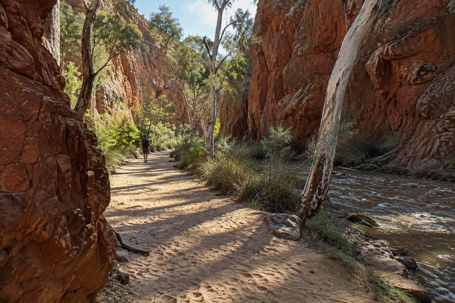
Distance and difficulty are not the same thing on this trail. Section 6, Hugh Gorge to Ellery Creek North, is 28.9 km, the longest single stage, yet it is graded 4. Section 5 is only 14.9 km but graded 5 and carries a recommended time of 9.5 hours, a figure close to section 6's 10.5 hours despite covering roughly half the distance, which tells you the terrain, not the kilometres, sets the pace on the harder ground.
The table below groups the sections into planning bands so you can see the shape of the whole walk at a glance.
| Difficulty band | Sections | What defines the band |
|---|---|---|
| Gentlest days | 7, 8, 10 | Under 14 km, 4 to 5.5 recommended hours, gorge-floor walking |
| Middle band | 1, 2, 3, 12 | Grade 4, 13.6 to 26.2 km, ridge and gap country |
| Hardest days | 4, 5 | Grade 5, exposed ridges between Standley Chasm and Hugh Gorge |
| Longest days | 6, 9, 11 | 26.3 to 28.9 km, up to 12 recommended hours |
A thru-hiker's honest read: the trail front-loads accessibility and back-loads remoteness. Sections 1 and 2 stay close to Alice Springs and finish at points with road access and basic facilities, while sections 9 through 11 cross the most isolated country, ending at Redbank Gorge where the access road's final 5 km are unsealed and the park states plainly that the gorge itself is only accessible by high-clearance 4WD. Weather adds another layer, since roads in the park can be impassable for a short period after heavy rain.
The longest guided option is the 14-Day Larapinta Trail Walking Tour from Alice Springs, though the operator does not say which sections are walked: thirteen nights of bush camp with tents and swags, most meals supplied, and a rating of 4.0 from 3 reviews. Its price is on the operator's live listing rather than in our records, and anyone comparing it against self-guided walking should weigh the per-night cost of a support crew against their own experience in remote country and the value of not carrying a pack the whole way.
When Is The Best Season To Walk The Larapinta?
The best time to walk the Larapinta Trail is April to September, when Central Australia is at its coolest. From October to April, temperatures regularly climb above 40 °C, and in such heat the parks authority directs walkers to walk only in the morning and late afternoon, making the cooler months the clear choice. Within that window, winter days are mild and nights are genuinely cold, so packing for both extremes in a single day is normal practice rather than over-caution. The official trail planning page carries the season and safety wording in full.
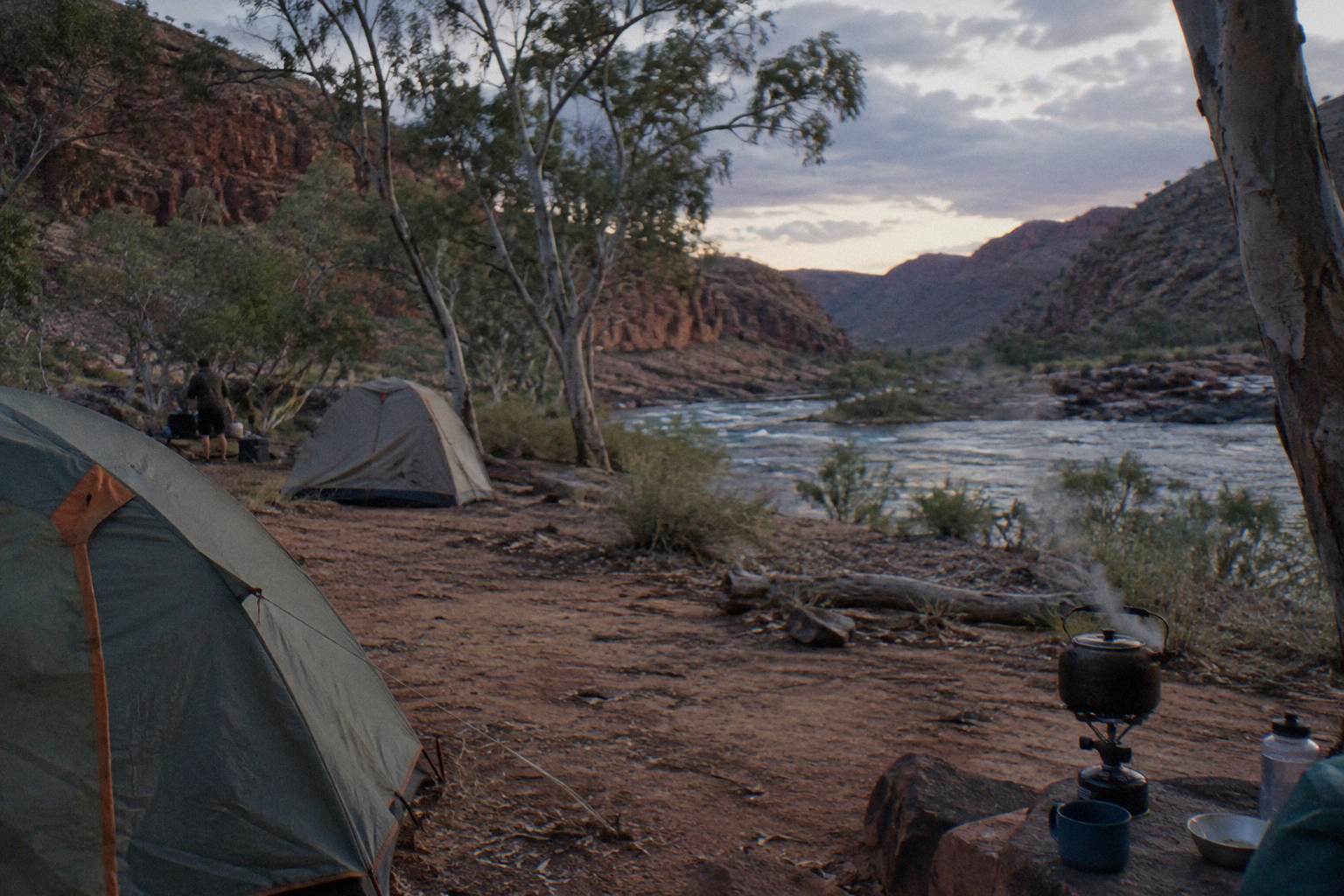
Rain is the second seasonal factor and the less predictable one. The parks authority publishes no official wet-season dates for the trail, but its Ellery Creek page notes roads can be impassable for a short period after heavy rain, and flash floods and storms are listed among the swimming and camping hazards in the park. Walkers heading out should check current park notices and Bureau of Meteorology heatwave warnings before each leg, not just at the start of the trip, because conditions change mid-walk.
| Rule or factor | What applies | Source wording |
|---|---|---|
| Walking season | April to September | Best walked in the cooler months |
| Heat season | October to April, can exceed 40 °C | Walk only morning and late afternoon |
| Walking alone | Not advised | Do not walk alone |
| Communications | Satellite phone or personal locator beacon | Do not rely on mobile phones |
| Water | Carry and drink plenty | NT Parks safety advice |
| Stoves | Fuel stoves or free barbecues only | No fires |
That safety column is not boilerplate. Sections 4 and 5 have long dry stretches, mobile coverage is unreliable through most of the ranges, and the trail's remoteness is the reason the beacon advice exists at all. For a fuller seasonal breakdown including day-tour considerations, see our best time for a West MacDonnell tour guide.
How Do Camping And Booking Work Section By Section?
There are 26 designated category B campgrounds along the trail plus a private one at Standley Chasm, and every night must be booked and paid online through the parks booking system before you go, with no payment accepted at the park. Camping fees sit on top of the NT Parks Visitor Pass, and walkers also pay walking trail fees online in advance. Category B means basic facilities: toilets and a water source you should boil or otherwise treat before drinking.
The booking rule catches out overseas visitors more than any other. The pass system is online only, you must be logged in to the parks booking system, and NT residents are exempt from the visitor pass itself but may be asked for proof of residency. A 2-week adult visitor pass is AU$30, which covers most section-hopping trips; the full pass price schedule, including family and concession rates, is in our NT Parks pass and fees guide.
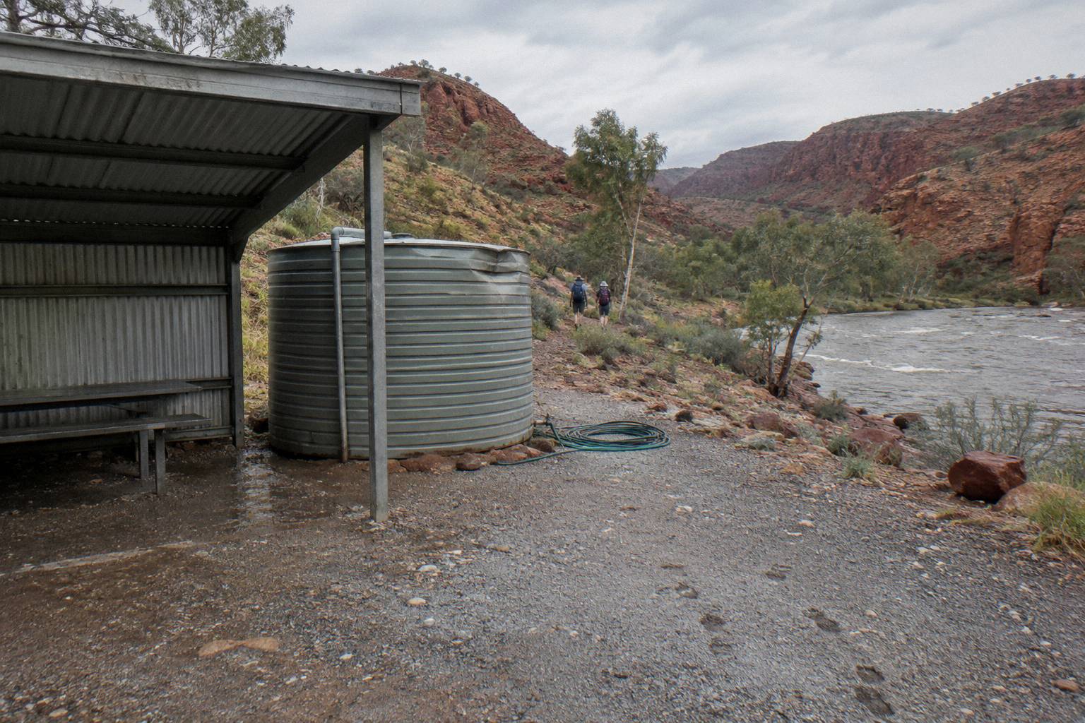
Campground locations map roughly onto the section endpoints, so your nightly schedule is effectively fixed by the section distances in the table above. Section 9's 12-hour recommended time means most walkers split it or start at first light to reach the Ormiston Gorge campground, which has gas barbecues, toilets and showers and takes all vehicle types including caravans. The same logic applies at Redbank Gorge, which has two category B campgrounds, Ridgetop and Woodland, with caravans permitted at Woodland only.
What Guided Options Cover Which Parts?
Guided Larapinta products cover a chosen band of sections rather than the whole 231.1 km: the five-day trek's itinerary includes roughly 14 km of guided bushwalking per format across grade 2 to 5 terrain, while the fourteen-day tour is a guided walk over thirteen nights in camp, and the operator does not say which sections are walked. Both include meals and camping equipment, and both offer pickup in Alice Springs. The five-day safari trek is AU$3,125 per person with free cancellation up to 24 hours before; the fourteen-day walk's price is on the operator's live listing.
| Tour | Duration | From price | Rating | Cancellation |
|---|---|---|---|---|
| Larapinta 5-Day Safari Trek | 5.5 days | AU$3,125 pp | no rating yet | Free up to 24h before |
| 14-Day Larapinta Trail Walk | 14 days | on the live listing | 4.0 from 3 reviews | Not stated |
| 3-Day 4WD Camping Trek | 3 days | AU$896 pp | no rating yet | Free up to 24h before |
| Full Day, Small Group Only | 10 hours | AU$279 pp | 4.6 from 16 reviews | Free up to 24h before |
The Alice Springs: Larapinta Hiking Trail 5-Day Adventure Safari, run by Autopia Tours, is the one most section-choosers land on. Four nights go to a private, remote campsite on traditional land, all camping equipment and linen is supplied, most meals are included, and travel between trailheads is by air-conditioned 4WD off-road truck with hotel pickup in Alice Springs. It suits walkers who want the trail's signature stages without organising water drops or camp bookings themselves.
At the other end of the scale, the full-day small group tour is a coach day out rather than a trek, but it passes several landmarks the trail visits on foot, Simpsons Gap and Standley Chasm among them, and at 4.6 from 16 reviews it has the deepest review pool of any Larapinta-adjacent product in the current roster. Treat a small review pool as a small review pool, whatever the number says: a handful of reviews is a signal, not a verdict.
How Do You Plan Your Own Section Order?
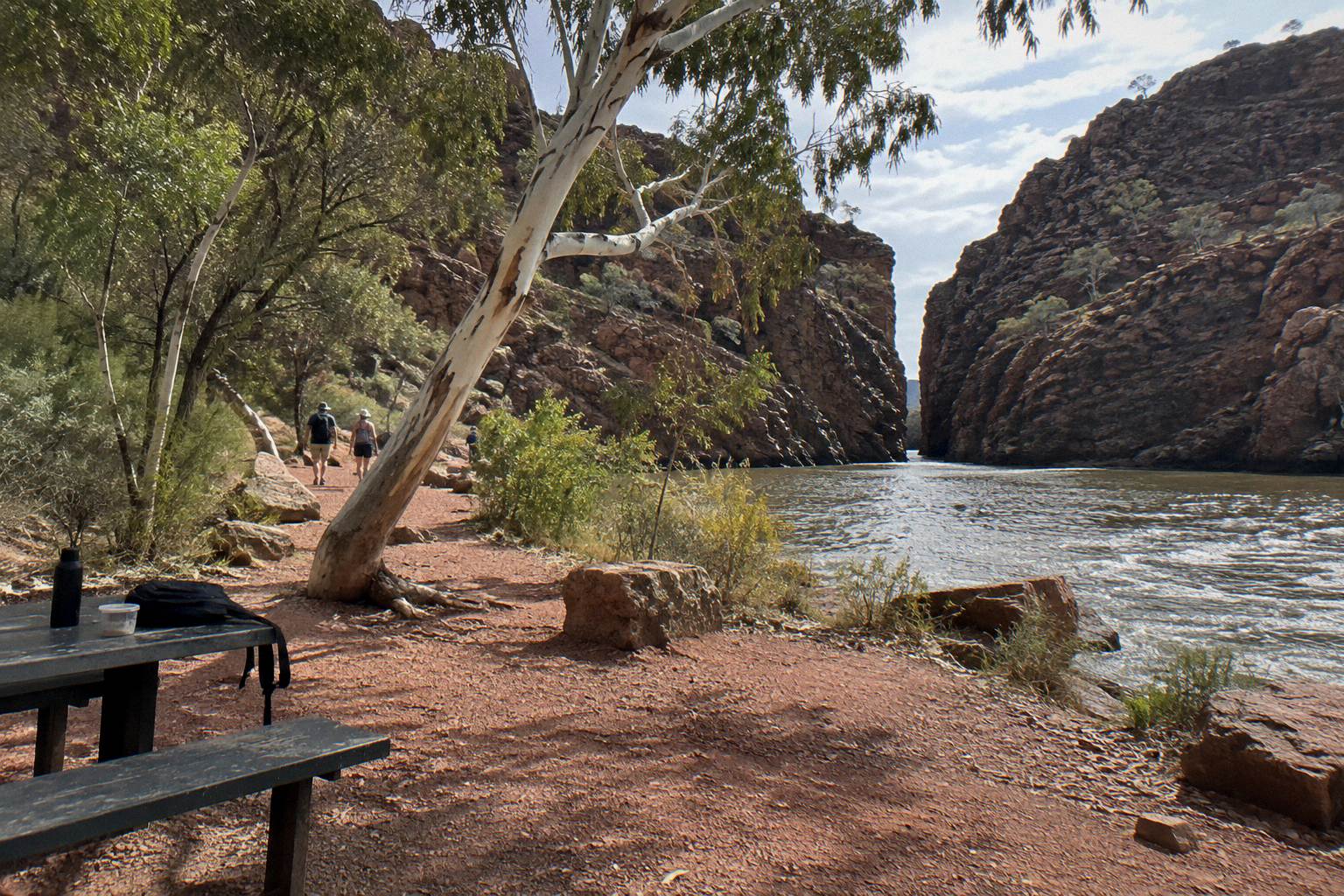
Pick your sections by trailhead access, not just distance: sections ending at Simpsons Gap, Standley Chasm, Ellery Creek, Serpentine Gorge, Ormiston Gorge and Redbank Gorge all sit on or near sealed Larapinta and Namatjira Drives, while Redbank Gorge's final 5 km are unsealed and 4WD-only. That single fact shapes most self-guided itineraries more than any grade in the table. Redbank Gorge also has two category B campgrounds, Ridgetop and Woodland, with caravans permitted at Woodland only, which matters if you are basing yourself near the western end.
A practical three-stage sampler over four or five days looks like this: section 3 into Standley Chasm, a vehicle transfer to Ellery Creek, then section 7 into Serpentine Gorge, finishing with section 12's Mount Sonder climb from Redbank. Book each campground night online first, confirm the pass, then build the driving around the bookings, because the camps, not the road distances, are the scarce resource. Reversing that order, west to east, works too and puts the summit climb first while legs are freshest.
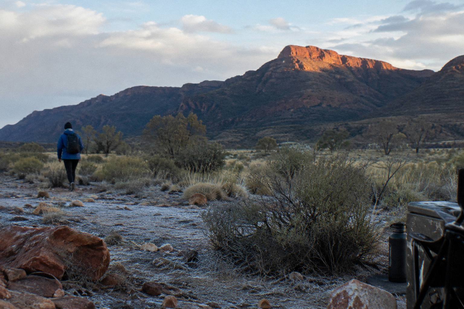
For comparing every supported option side by side, our Larapinta Trail guided walks overview sets out the operators, and the Larapinta Trail tours compared guide lines up prices and inclusions. On this site, West MacDonnell Ranges Tours tracks the live listings so the figures on these pages match what the operators publish.
One more option worth naming for walkers short on days: the 3-Day Kings Canyon & West MacDonnell 4WD Camping Adventure, AU$896 per person, spends two nights at permanent outback campsites with all national park entry fees included and roughly 12 km of guided bush walks. It is not a Larapinta product, but it walks the same kind of country, pairs naturally with a later section-based return trip, and its 24-hour free cancellation window makes it a low-commitment add-on to an Alice Springs stay.
Common Questions About Larapinta Trail Sections
How Many Sections Does The Larapinta Trail Have?
The Larapinta Trail has 12 numbered sections totalling 231.1 km, officially described as over 230 km, running from the Alice Springs Telegraph Station to the summit of Mount Sonder. Each section takes one to two days to walk.
Which Larapinta Trail Section Is The Hardest?
Sections 4 and 5, between Standley Chasm and Hugh Gorge, are graded 5, the highest grade published for the trail. Section 9, Serpentine Chalet Dam to Ormiston Gorge, carries the longest recommended walking time at 12 hours across 28.9 km.
Which Larapinta Trail Section Is The Shortest?
Section 10, Ormiston Gorge to Finke River, is the shortest at 8.9 km with a recommended time of 4 hours. Section 12 is also short at 15 km but is a return climb to Mount Sonder rather than a point-to-point stage.
Do You Need To Book Larapinta Trail Campsites In Advance?
Yes. Every night on the trail must be booked and paid online through the parks booking system before you go, and you cannot pay at the park. There are 26 designated category B campgrounds plus a private one at Standley Chasm.
Can You Walk Just One Section Of The Larapinta Trail?
Yes, section walking is common. Sections 3, 7 and 12 are popular single-day choices because their trailheads sit on or near sealed roads and their distances, 13.6 km, 12.8 km and 15 km, fit inside a day with published recommended times of 5.5, 5 and 6 hours.
When Is The Best Time Of Year To Walk The Larapinta Trail Sections?
April to September, the cooler months. Temperatures can exceed 40 °C between October and April, and the parks authority advises walking only in the morning and late afternoon in heat, plus carrying a satellite phone or personal locator beacon rather than relying on mobile coverage.