Are There Dingoes On The Larapinta Trail Walk?
Dingoes live across the Red Centre, but the official Larapinta Trail guidance focuses on heat, water and walking alone. Here is what the verified safety rules actually say.
This article does not claim an answer about dingo sightings, because no verified dingo figure exists for the trail in the official material. What is verified is the safety framework: walk in company, carry a satellite phone or personal locator beacon, treat heat above 40 degrees as the real hazard, and take wildlife guidance from the official park safety pages rather than from forums. That framework is what this piece reports in full.
The question is a fair one to ask before committing to 230-plus kilometres of walking through Central Australian country. Dingoes are part of the wider Australian landscape, and the Red Centre is dingo country in a general sense. But the trail's own planning and safety documentation, the pages maintained by the Northern Territory parks authority for Tjoritja / West MacDonnell National Park, does not publish a dingo sighting record, a dingo encounter frequency, or a dingo behaviour advisory for the Larapinta Trail. Any specific claim a blog makes about how often dingoes appear, or how they behave near walkers, would be invented.
So rather than guess, this article does something more useful. It reports the safety rules that are actually verified for the trail, explains why the authorities frame heat, isolation and communications as the dominant risks, and shows how a guided trek absorbs most of that planning burden for you. Walker forums will always trade dingo stories; the official pages tell you how to walk this trail safely, and that is the standard worth matching.
If you are weighing a guided option against an independent walk, the decision changes how much of this planning matters. West MacDonnell Ranges Tours covers the guided side, including a dedicated Larapinta trek.
Where Does Official Wildlife Guidance For The Trail Come From?
The verified guidance lives on the Northern Territory parks pages for Tjoritja / West MacDonnell National Park, which cover swimming rules, heat warnings, emergency devices and walking conditions. Those pages are the reference for wildlife questions on this trail, and any animal-specific advice should be checked there before a trek rather than taken from second-hand accounts. This article deliberately prints no dingo claim in either direction.
The park itself is jointly managed, sitting on the homelands of Central Arrernte, Western Aranda and Luritja people, and gazetted under its dual name on 15 October 2014. It stretches about 161 km west of Alice Springs and covers 252,800 hectares. That scale matters for the dingo question, because a park that large, with a 230 km trail running through it, cannot be summarised in a single wildlife anecdote. Conditions at the Telegraph Station end have nothing to do with conditions at Mount Sonder.
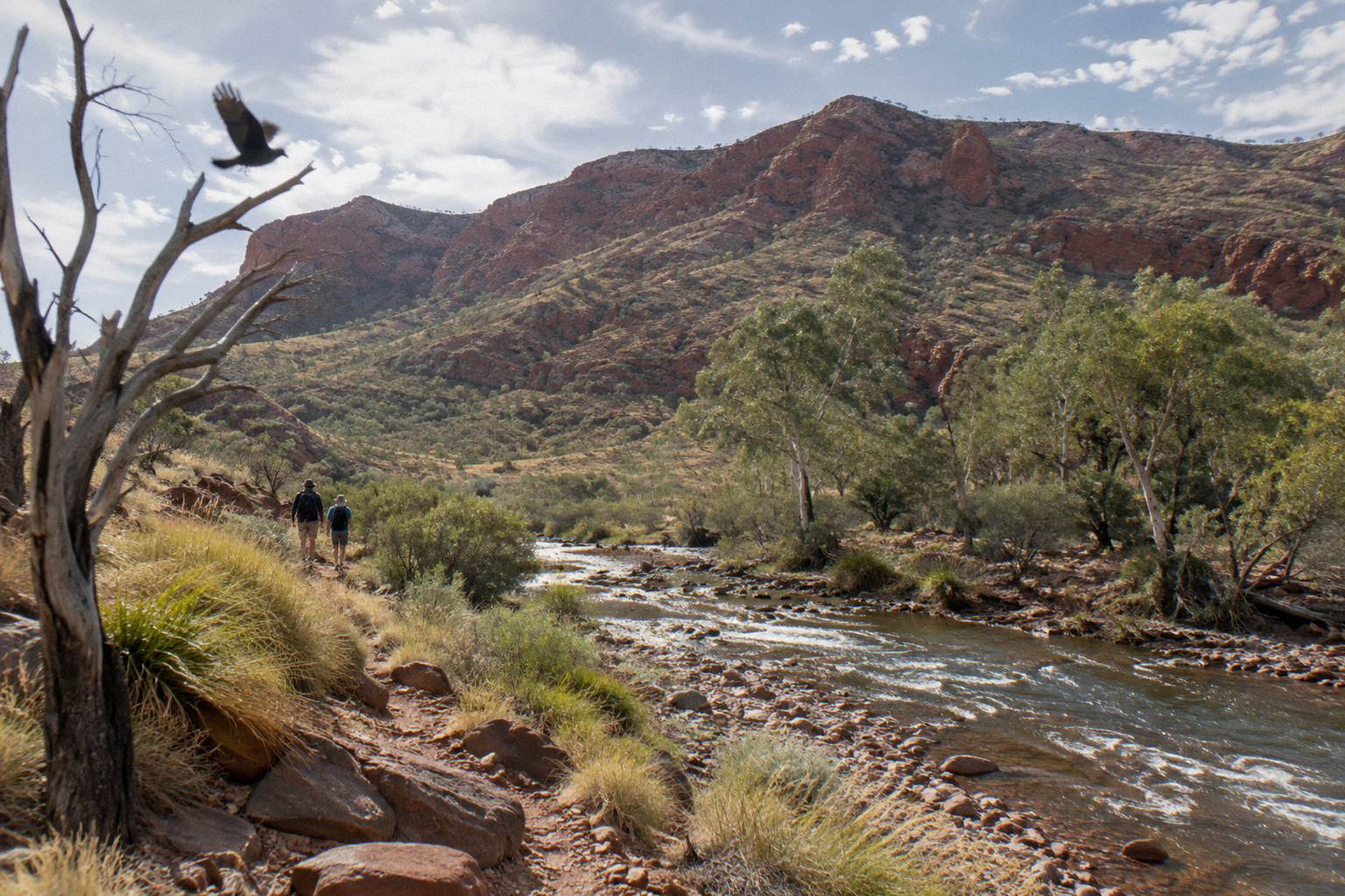
What the official pages do say, clearly and repeatedly, is about environment rather than animals. Temperatures can exceed 40 °C between October and April. Most waterholes are extremely cold, and swimming is only permitted in some places. Walkers should carry and drink plenty of water, wear a hat, avoid strenuous activity in the heat of the day, and note the locations of emergency call devices. Flash floods and storms are named hazards. None of that is about dingoes, and all of it shapes a safe walk far more than any wildlife worry.
The swimming guidance is a good example of how specific the official material is. The parks authority maintains a dedicated page on swimming in the park, which names the cold-water risk plainly and points out where swimming is and is not allowed. If you want the equivalent detail on animals, that same family of park pages is where to look. For the broader walking rules, our whether the Larapinta Trail can be walked alone coverage picks up the solo-walking question in depth.
What Safety Rules Does The Official Larapinta Guidance Actually Set?
The verified rules are: do not walk alone, carry a satellite phone or personal locator beacon because mobile coverage cannot be relied on, walk in the cooler months from April to September, keep strenuous walking to mornings and late afternoons in heat, and use fuel stoves or the free barbecues only, with no open fires. Every one of those comes from the official trail planning material.
The season rule deserves its own sentence. The best walking window is April to September, and outside it the heat guidance tightens: when temperatures climb, walkers are told to walk only in the morning and late afternoon. The communications rule is equally firm. A satellite phone or personal locator beacon is recommended, and the official wording is blunt about not relying on mobile phones. Remote sections of the trail have no coverage, and a walker who plans around a phone signal is planning around something that does not exist out there.
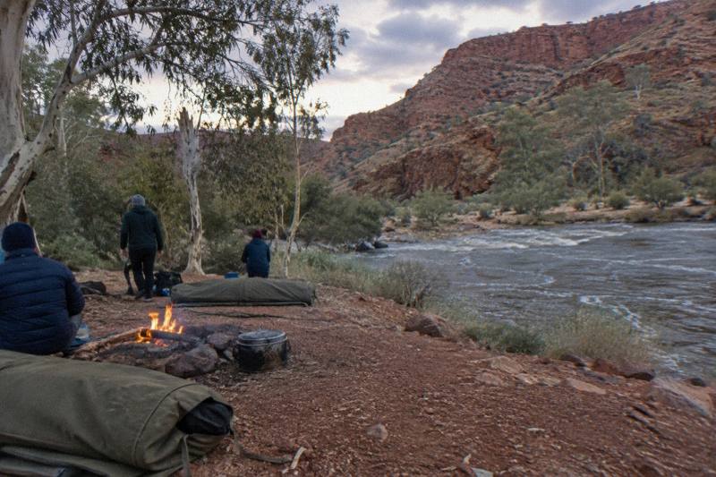
The camping rules fold into the same framework. The trail has 26 designated category B campgrounds plus a private one at Standley Chasm, and every night must be booked and paid online before you go, along with walking trail fees. Fuel stoves or the free barbecues are the only cooking options, with fires prohibited. For anyone wondering whether campfires and cooking smells relate to wildlife, the honest answer is that the official rules frame the fire ban as a land-management rule, and this article will not dress it up as an animal precaution.
| Rule | Official guidance | What it means in practice |
|---|---|---|
| Company | Do not walk alone | Trek with a partner, a group, or a guided tour |
| Communications | Satellite phone or personal locator beacon; do not rely on mobile phones | Hire or buy a beacon before Day 1 |
| Season | Best walked April to September | Book the cooler months where possible |
| Heat | Walk only morning and late afternoon when hot; avoid strenuous activity midday | Start at dawn in the warmer shoulder months |
| Water | Carry and drink plenty of water | Plan refill points, not just bottles |
| Cooking | Fuel stoves or free barbecues only, no fires | Leave the campfire plans at home |
| Camping | Book each night and pay walking trail fees online in advance | No pay-at-park option on the trail |
The planning weight behind that table is exactly why many trekkers hand it to a guide. The "Larapinta 5-Day Safari Trek" run by Autopia Tours builds the logistics in: 4 nights at a private remote campsite on traditional land, all camping equipment including linen, pillows, blankets and sleeping bags, most meals, fresh drinking water, guided bushwalking of roughly 14 km at grades 2 to 5, and air-conditioned 4WD truck travel between sections, with courtesy hotel pick-up and drop-off in Alice Springs. It runs from AU$3,125 per person, with free cancellation up to 24 hours before. You can check availability alongside our fuller guided Larapinta walks overview.
How Hard Is The Trail Compared With Other Red Centre Walks?
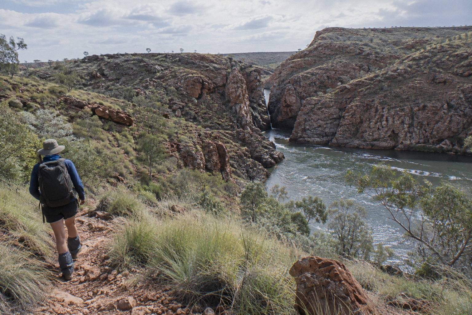
The 12 sections each take one to two days and range from 8.9 km to 28.9 km, with grades from 4 to 5 on the hardest middle sections, including a 28.9 km stretch rated at 10.5 hours and another at 12 hours. The final section, Redbank Gorge to the Mount Sonder summit and back, is 15 km, about 6 hours, Grade 4. Those numbers tell you the trail's difficulty honestly.
Grade 5 sections demand real bushwalking experience. Sections 4 and 5, Standley Chasm to Birthday Waterhole and on to Hugh Gorge, sit at Grade 5, with recommended walking times of 8.5 and 9.5 hours. Section 9, Serpentine Chalet Dam to Ormiston Gorge, is the longest day on paper at 28.9 km and 12 hours. Section 6 is nearly as long. A walker who is asking wildlife questions before a first desert trek is, quite reasonably, sensing that this walk is serious, and the section data confirms the instinct.
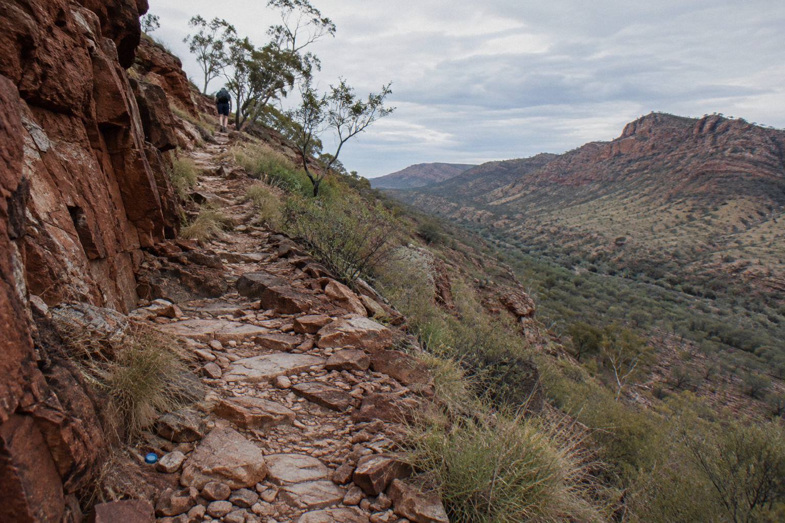
The structure of the trail matters too. It begins at the Alice Springs Telegraph Station and ends at the summit of Mount Sonder, which carries the Western Aranda name Rutjupma. Redbank Gorge, at the trail's western end, sits at the base of that mountain, and the gorge's last 5 km of access road is unsealed, marked high clearance 4WD only. That is another quiet argument for guided transport: the trailheads themselves demand vehicle planning that a hire car cannot always meet.
If you are still building a picture of the whole route, the section-by-section Larapinta breakdown covers every leg with its distances, and the difficulty of the Larapinta Trail hike is examined on its own. Neither needs a dingo detour to make the point that preparation is the story here.
| Trail section | Distance | Recommended hours | Grade |
|---|---|---|---|
| 1: Telegraph Station to Simpsons Gap | 24.7 km | 9 | 4 |
| 3: Jay Creek to Standley Chasm | 13.6 km | 5.5 | 4 |
| 5: Birthday Waterhole to Hugh Gorge | 14.9 km | 9.5 | 5 |
| 6: Hugh Gorge to Ellery Creek North | 28.9 km | 10.5 | 4 |
| 9: Serpentine Chalet Dam to Ormiston Gorge | 28.9 km | 12 | Not stated |
| 12: Redbank Gorge to Mount Sonder return | 15 km | 6 | 4 |
Do You Need A Parks Pass And Booking For The Trail?
Yes. Visitors to the Northern Territory need an NT Parks Visitor Pass, sold online only and purchased before arrival, while NT residents are exempt. Adult passes run AU$10 for one day, AU$20 for three days, AU$30 for two weeks and AU$60 for a year, and trail camping and walking fees are separate and also paid online in advance. A two-week trek maps neatly onto the AU$30 adult pass.
The pass system is simpler than it first looks. You create an account in the parks booking system, buy the pass length that matches your itinerary, and use the same system for campground nights and walking fees. There is no pay-at-park option on the trail, so arriving with the paperwork unfinished is not a plan. Children aged 5 to 17 pay reduced rates, and a family pass covers two adults and four children, which matters for the small number of family treks on the route.
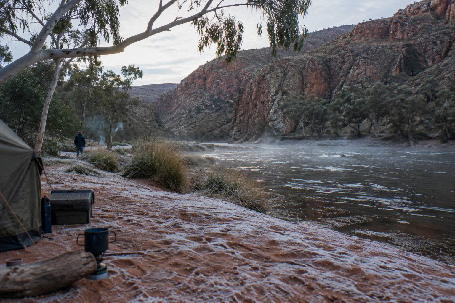
Guided treks change the arithmetic. On the "Larapinta 5-Day Safari Trek", the inclusions list covers camping equipment, meals and guided walking, while the parks pass status is not stated in the listing, so confirm it with the operator when booking. The multi-day camping tours are clearer: the "3-Day 4WD Camping Trek" includes all national park pass entry fees in its AU$896 per person price. Checking whether a pass is bundled is a two-minute question that saves an unexpected purchase, and our longer parks pass and fees explainer lists which tours include it.
What Should You Carry To Walk The Trail Safely?
The verified carry list is built around communications and heat: a satellite phone or personal locator beacon, plenty of water carried and drunk, a hat, and a fuel stove since fires are banned. Add the booked campground plan, warm layers for cold nights, and first aid suited to a remote multi-day walk, and you have the official framework translated into a pack list. Wildlife precautions beyond that are not specified in the verified material.
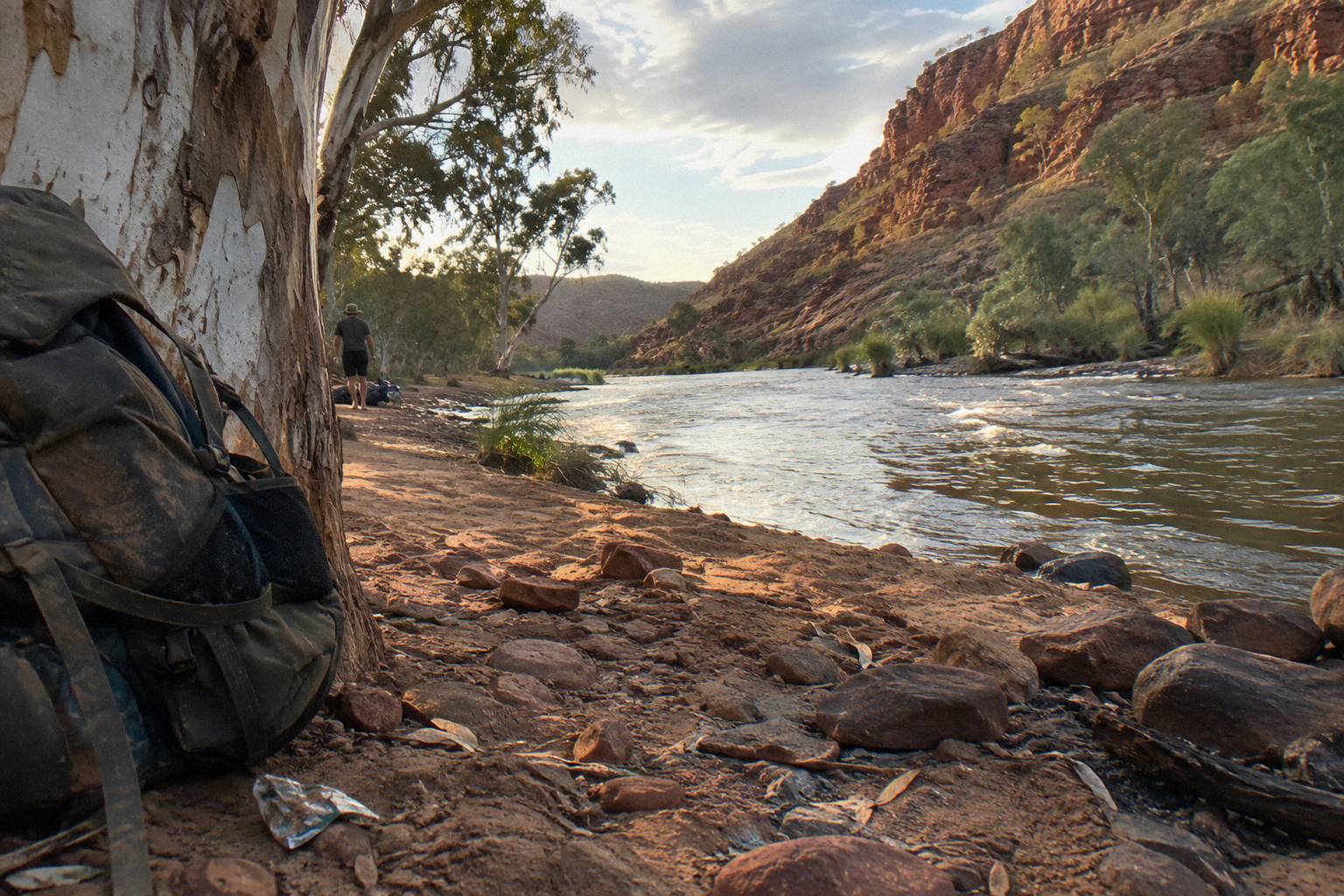
The beacon is the single item that changes outcomes. Every serious planning resource for remote walking circles back to it, and the official trail guidance says plainly not to rely on mobile phones. Hiring one is inexpensive relative to the trek itself, and carrying one is the difference between a bad afternoon and an emergency that cannot be called in. Water planning comes second: the guidance to carry and drink plenty of water assumes you know your refill points, and on a trail where waterholes are cold, remote and in some cases off-limits to swimming, refill logistics deserve real attention.
Food storage and camp cleanliness are worth a brief, honest word. No verified rule on the Larapinta Trail specifies food-storage requirements in the way, say, North American bear country does. Standard remote-walking practice is to store food securely and keep a clean camp, and nothing in the official guidance contradicts that. But this article will not convert general good practice into a dingo-specific protocol, because no such protocol appears in the verified material. Walk clean, follow the stove rule, and take animal questions to the park pages.
For a fuller packing treatment, the what to bring on a West Macs day tour guide covers the day-walk version of the same questions, and most of it scales up for the trek.
Is A Guided Trek The Safer Way To Answer These Questions?
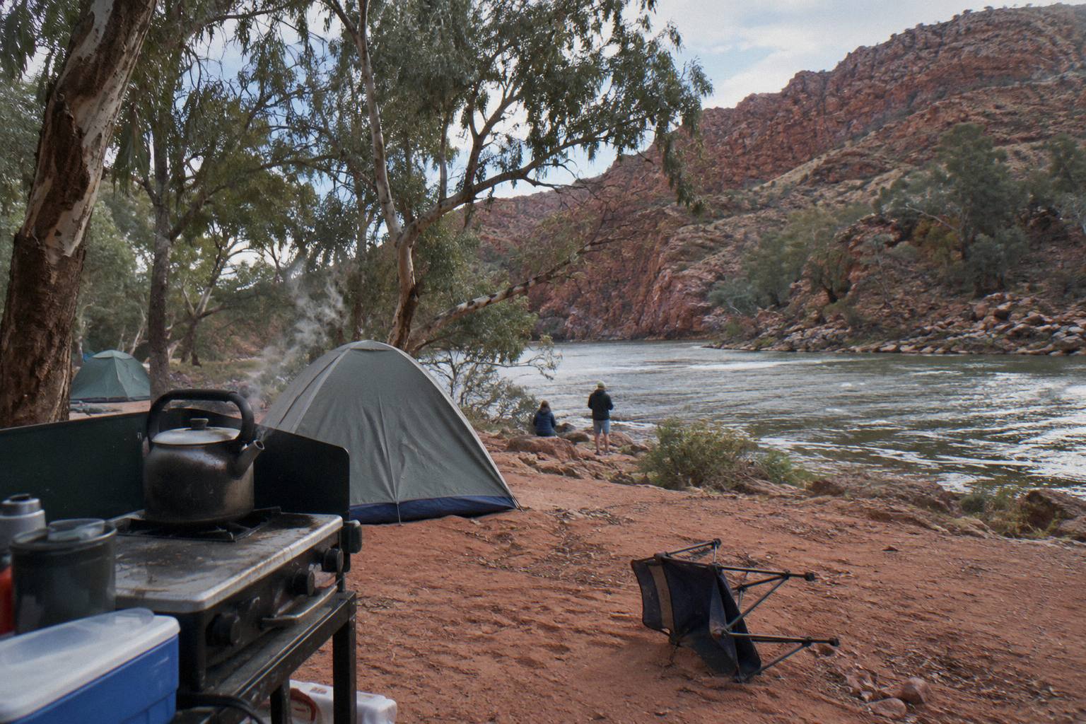
For most trekkers asking safety questions before a first Larapinta attempt, yes: a guided trek replaces the communications, season, water and booking questions with an operator's logistics, while the walking itself stays real. Guides carry the local knowledge that a forum cannot verify, and the roster's guided options cover every budget from a three-day sampler to a full 14-day traverse. The independence debate is worth having, but honest weighting favours guidance for first-timers.
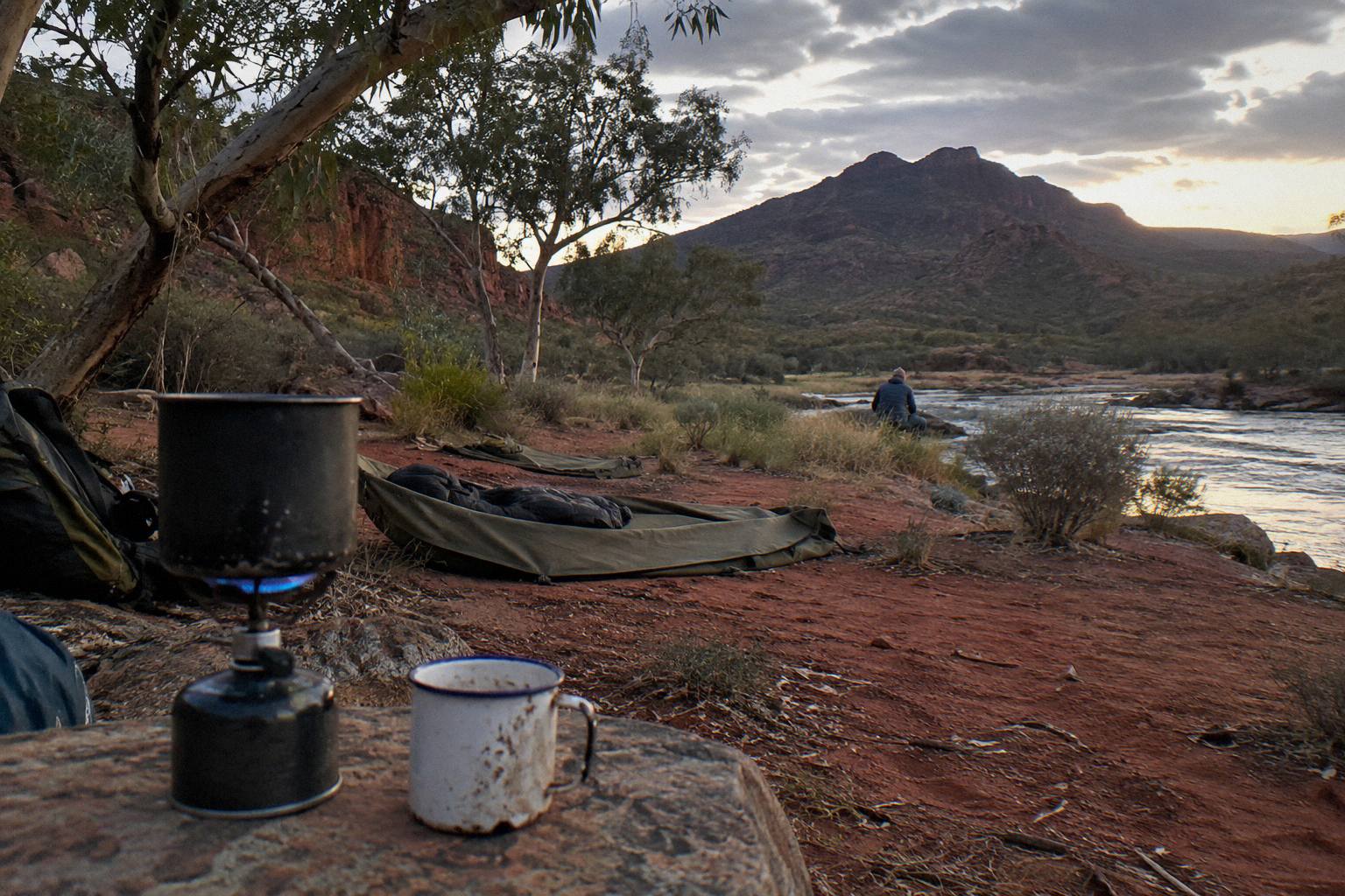
Consider what a guide removes from your risk column. The do-not-walk-alone rule is satisfied by the group itself. The satellite communications rule is handled by the operator's equipment and itinerary. Season and heat planning sit with a company that runs the route repeatedly. Campground bookings, water logistics and the stove rules become the operator's problem. None of that removes the walking, the grades, or the cold nights, and it should not; the trail's difficulty is part of its value.
The 14-day "Larapinta Trail Walk" from Walking Country is a guided walk where the operator does not say which sections are walked, with 13 nights of basic bush camp, tents and swags, 13 breakfasts, 14 lunches and 13 dinners included. Its price is on the live listing rather than quoted here, and it holds a 4.0 rating from 3 reviews, a small pool worth reading plainly rather than treating as a verdict. At the other end of the scale, the three-day 4WD camping sampler at AU$896 includes two nights at permanent outback campsites at Kings Creek and West MacDonnell, most meals, roughly 12 km of guided walks and all park pass entry fees, with free cancellation up to 24 hours before.
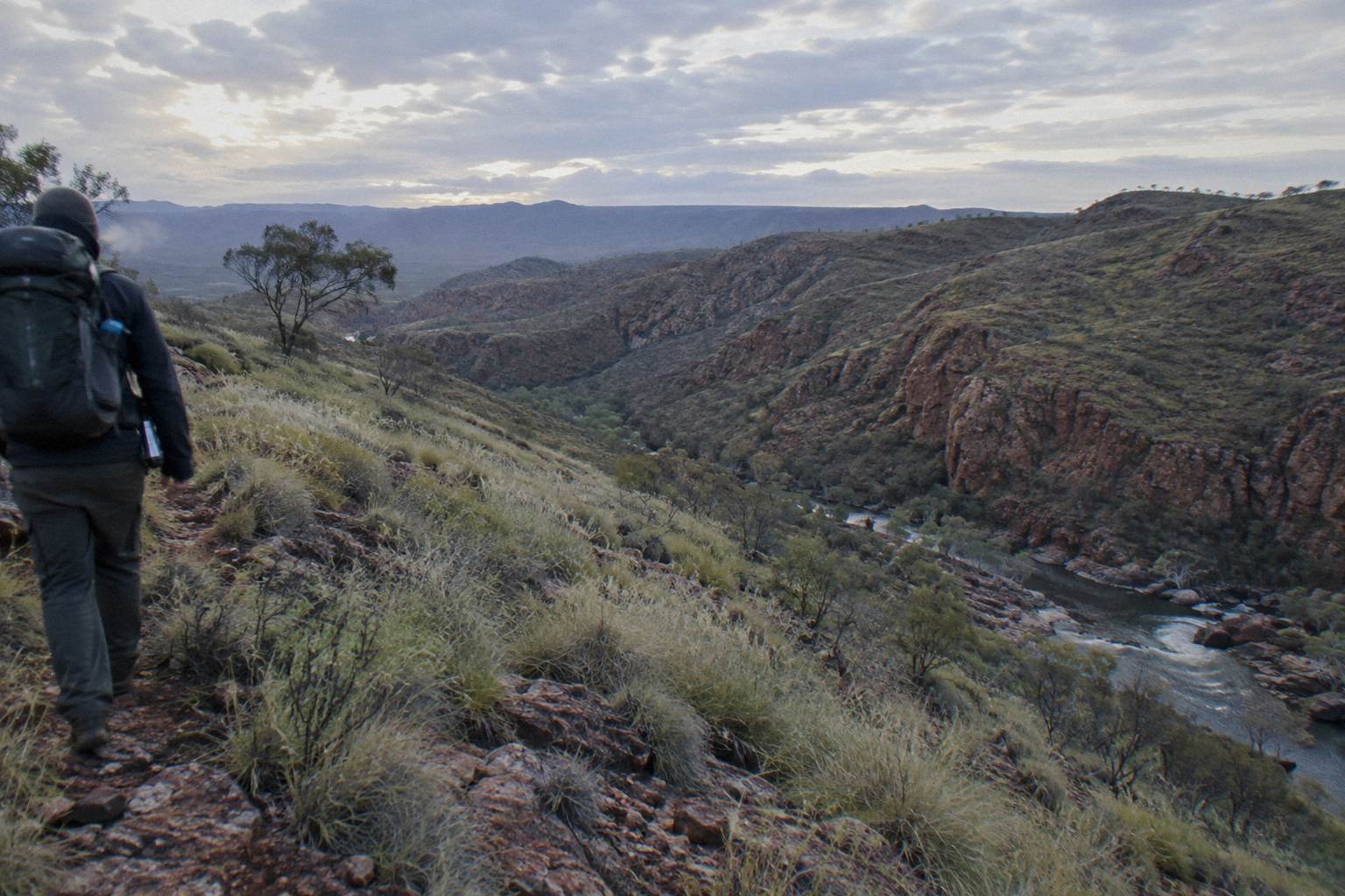
What Other Wildlife And Terrain Facts Are Verified For The Park?
Verified animal facts for the wider park are modest: black-footed rock wallabies appear at Simpsons Gap around dawn and dusk, and swimming is restricted or banned at several waterholes for safety and cultural reasons. Beyond that, the official material is terrain-focused, covering cold water, flash floods, unsealed roads and walking grades, and this article adds nothing further about wildlife. That restraint is the honest reading.
The rock wallaby note is the one concrete, official wildlife observation in the verified set, and it belongs to Simpsons Gap, 18 km west of Alice Springs at the turn-off along Larapinta Drive. The same park page records that several dreaming trails and stories cross at that spiritual site, a reminder that every stop on this route carries cultural depth well beyond its wildlife. Camping at Simpsons Gap is limited to Larapinta Trail walkers and school groups.
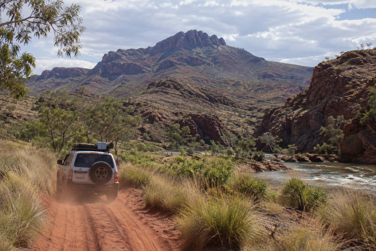
Terrain facts matter more to your safety than any animal note. Ellery Creek Big Hole's access includes a final 2 km unsealed, and roads there can be impassable for a short period after heavy rain. Redbank Gorge is high clearance 4WD only for its last 5 km. Ormiston Gorge's permanent waterhole reaches depths of up to 14 m at its southern end and carries a hypothermia risk even in summer, with no jumping or diving allowed. These are the details that shape a trek, and they are all published by the parks authority. The dedicated Tjoritja national park guide collects them in one place.
External references worth bookmarking before a trek are the official Larapinta Trail planning page, the park's swimming guidance, and the NT Parks Visitor Pass page. All three are primary sources, and all three outrank any forum thread, including on the wildlife questions this article declines to invent.
Common Questions About Dingoes And Larapinta Trail Safety
Are There Dingoes On The Larapinta Trail?
No verified dingo figure exists for the trail in the official material, so no honest answer can claim presence, absence, frequency or behaviour. Take wildlife guidance from the official Northern Territory park safety pages, and plan around the verified rules: do not walk alone, carry a satellite phone or personal locator beacon, and walk in the April to September season.
Is It Safe To Walk The Larapinta Trail Alone?
The official guidance says do not walk alone. It also recommends carrying a satellite phone or personal locator beacon because mobile coverage cannot be relied on, walking in the cooler months, and keeping strenuous activity to mornings and late afternoons in heat.
Do I Need A Beacon Or Satellite Phone On The Trail?
Yes in practice. The official planning guidance recommends a satellite phone or personal locator beacon and states plainly that walkers should not rely on mobile phones. Remote trail sections have no reliable coverage.
What Is The Safest Season To Trek The Larapinta?
April to September. Temperatures can exceed 40 °C between October and April, and the official guidance restricts walking to morning and late afternoon in hot conditions.
Can A Guided Tour Handle The Safety Planning For Me?
Largely, yes. Guided treks such as the Larapinta 5-Day Safari Trek from AU$3,125 per person include camping equipment, most meals, guided walking and 4WD transport, with free cancellation up to 24 hours before. The group itself satisfies the do-not-walk-alone rule, and communications sit with the operator.
Are Campfires Allowed On The Larapinta Trail?
No. Fuel stoves or the free barbecues at designated campgrounds are the only cooking options, and fires are prohibited along the trail.