Redbank Gorge And Mount Sonder: Reaching The Far End By Tour Or On Foot
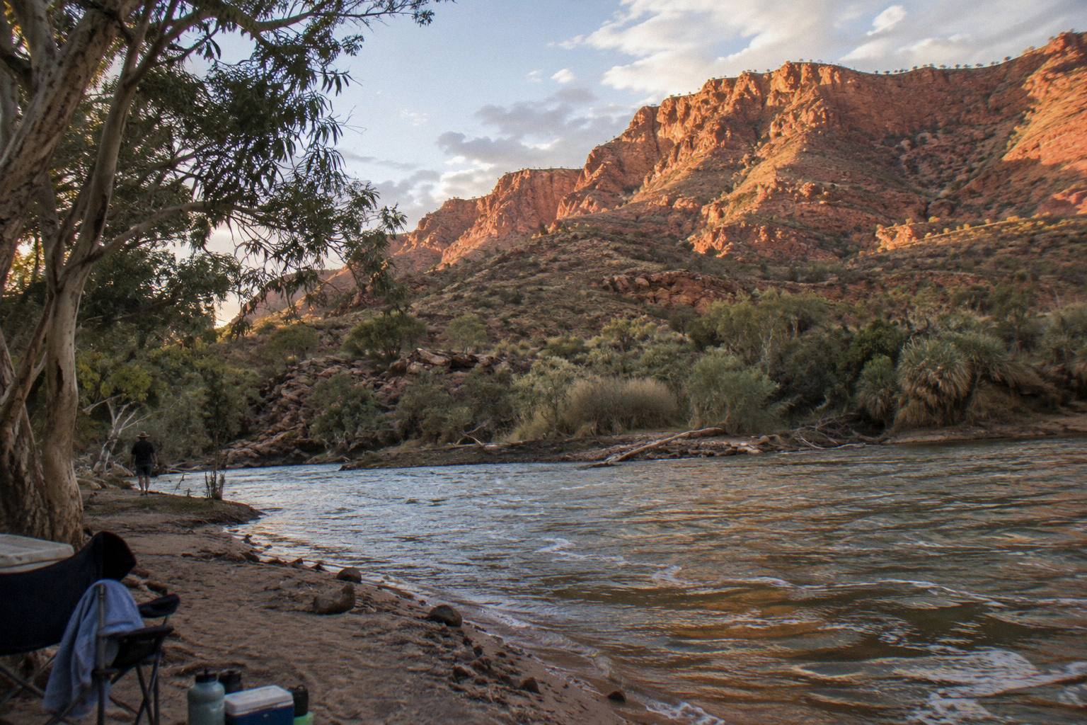
Redbank Gorge is the farthest of the famous West MacDonnell gorges from Alice Springs, guarded by a rough final 5 km of unsealed road, and crowned by Mount Sonder, the western end of the Larapinta Trail.
Short answer
Redbank Gorge lies 156 km west of Alice Springs in Tjoritja / West MacDonnell National Park, and the last 5 km of road is unsealed, high clearance 4WD only. Most visitors reach it on a multi-day 4WD camping tour (from AU$896 per person) or by walking Larapinta Trail sections 11 and 12. Mount Sonder is a 15 km, 6 hour Grade 4 return walk.
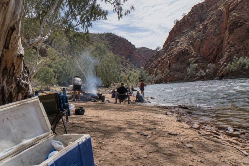
Redbank Gorge is the last of the great gorges along the western arm of Tjoritja / West MacDonnell National Park, sitting at the base of Mount Sonder, which the Western Aranda people call Rutjupma, pronounced roughly "roo-choop-ma". The park itself stretches about 161 km west of Alice Springs and covers 252,800 hectares of jointly managed Country, the homelands of Central Arrernte, Western Aranda and Luritja people. By the time you reach Redbank you have driven past Ormiston Gorge, Glen Helen and the Ochre Pits, and the sealed bitumen has run out.
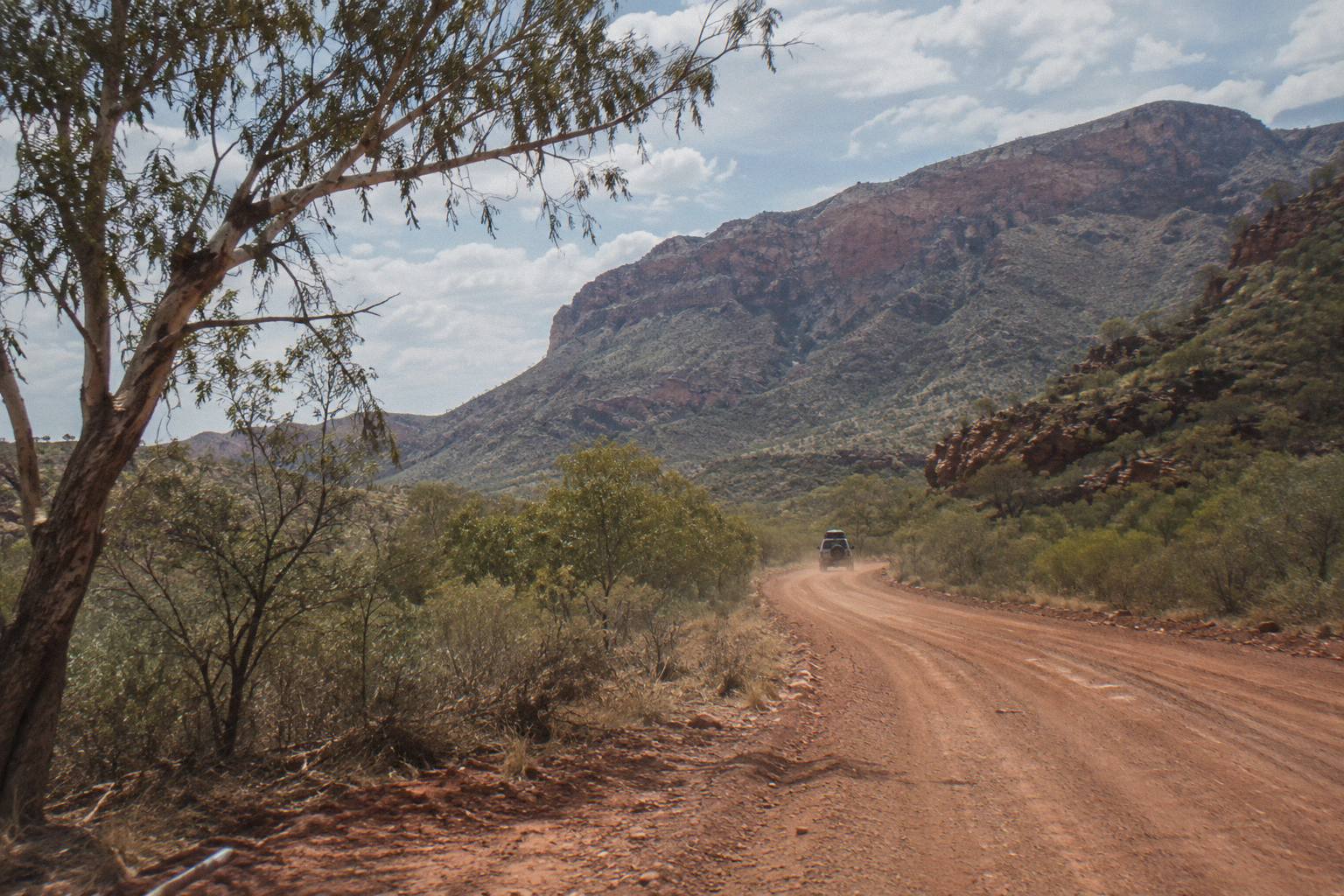
That last fact shapes everything about how people visit. The NT Government's park page for Redbank Gorge states plainly that the final 5 km of access road is unsealed and that the gorge is only accessible by 4WD, with a standing status of high clearance 4WD only. A standard rental car cannot reliably make that stretch, and after heavy rain sections of road in the park can be impassable for a short time. So the two realistic paths to Redbank are a multi-day 4WD camping tour, or your own two feet along the Larapinta Trail.
This guide covers both. It sets out the facts about the gorge and its waterhole, compares the tours on this site's roster that reach the far end of the range, walks through the Mount Sonder climb via Larapinta section 12, and covers camping, swimming and season so you can decide whether the far end is worth the effort. The short answer is that it is, but only if you plan for it properly.
Where Is Redbank Gorge And Why Does Access Shape Every Visit?
Redbank Gorge sits 156 km west of Alice Springs at the western end of Tjoritja / West MacDonnell National Park, reached by sealed Larapinta and Namatjira drives for most of the way, then a final 5 km of unsealed road rated high clearance 4WD only. The gorge sits directly at the base of Mount Sonder, and its waterhole holds water almost permanently through the year.
The drive out from Alice Springs is one of the great sealed outback runs. You pass Simpsons Gap at 18 km, then the Ochre Pits at 110 km, Ormiston Gorge at 135 km and Glen Helen at 132 km before the road turns to dirt for the Redbank approach. The distances alone explain why no half-day tour from Alice Springs comes close: even a fast driver is looking at more than two hours each way before the rough section begins.
The last stretch is the filter. Five kilometres of unsealed road sounds manageable until you are on it in a low-slung sedan with rental paperwork in the glovebox. Park authorities are blunt about it: high clearance 4WD only. That single line rules out self-driving for most travellers and pushes nearly everyone onto either a 4WD tour vehicle or the Larapinta Trail, which arrives on foot from the east.
Here are the core facts in one place.
| Fact | Detail |
|---|---|
| Distance from Alice Springs | 156 km west, sealed except the last 5 km |
| Final road section | Unsealed, high clearance 4WD only |
| Waterhole | Almost permanent year round, about 1 km from the car park |
| Waterhole temperature | Cold, even in the warmer months |
| Gorge walk | Redbank Gorge Walk, about 2 km, 1.5 hours return |
| Swimming note | Flotation device recommended for the waterhole |
| Campgrounds | Ridgetop and Woodland, both category B; caravans at Woodland only |
| Overhead landmark | Mount Sonder (Rutjupma), start of Larapinta section 12 |
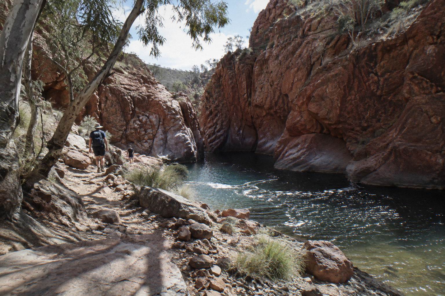
The waterhole deserves its own sentence. It sits roughly 1 km from the car park along the gorge track, holds water almost permanently, and is cold enough that the official guidance recommends bringing a flotation device if you plan to swim. Unlike some of the eastern gorges, there is no short stroll from bus door to water here; the gorge walk itself is about 2 km return and takes around 1.5 hours at a steady pace.
Culturally, this is Country with deep story. The NT park pages note that ancestral beings created this landscape in the mythological time, the foundation of spiritual beliefs and identity for the park's Traditional Owners. Redbank and Mount Sonder sit inside that continuum, not outside it, and the guided trips that visit the area travel through it with that context in mind. If you want the fuller picture of the park's dual name and joint management, the West MacDonnell Ranges Tours homepage gathers the range's touring options in one place.
Can You Reach Redbank Gorge On A Day Tour From Alice Springs?
No rostered day tour from Alice Springs reaches Redbank Gorge. The gorge appears only on multi-day 4WD camping itineraries, because the 156 km drive plus the 4WD-only final 5 km cannot fit inside a day trip that also serves the closer gorges. Day tours stop at Simpsons Gap, Standley Chasm and Ormiston instead.
This is worth stating clearly because it trips up a lot of planners. The West MacDonnell day trips from Alice Springs are built around the sealed corridor: Simpsons Gap in the morning, Standley Chasm at midday, Ormiston Gorge and possibly Glen Helen in the afternoon, then the long run home. That is already a 9 to 10.5 hour day. Adding a rough 4WD spur to Redbank would break the schedule entirely, so operators do not attempt it.
If Redbank Gorge is the reason you are travelling, your choices narrow to two. The first is a multi-day 4WD camping tour from Alice Springs, which has the vehicle, the driver and the campsites to sleep out west and reach the far end comfortably. The second is trekking: Larapinta Trail sections 11 and 12 deliver you to Redbank Gorge and then up Mount Sonder on foot, either independently with bookings or on a supported trek.
The roster on this site reflects that split honestly. There are strong day trips, including the 3-day Kings Canyon and West MacDonnell 4WD camping adventure for the tour route, but nothing labelled a day tour promises Redbank. If a seller elsewhere claims a single-day Redbank round trip from Alice Springs in a regular coach, read the itinerary carefully, because the access facts above make it unlikely.
For comparison, here is where the main multi-day options sit on price and reach.
Which Multi-Day Tours Actually Include Redbank Gorge?
Three tours on this roster reach the Redbank end of the range: the 3-Day Kings Canyon & West MacDonnell 4WD Camping Adventure from AU$896 per person, the 4-Day Uluru Kings Canyon Adventure from AU$1,287 per person, and the Larapinta 5-Day Safari Trek from AU$3,125 per person. All include Alice Springs pick-up, and all but the trek include park entry fees.
The 3-day 4WD camping trip is the most direct option for a visitor whose priority is the West MacDonnell far end combined with Kings Canyon. It runs three days with two nights at permanent outback campsites at Kings Creek and in the West MacDonnells, includes 2 breakfasts, 2 lunches and 2 dinners, and covers roughly 12 km of guided bush walks subject to fitness. All national park entry fees are included, which matters here because the NT Parks Visitor Pass is sold online only and costs extra on many day tours. Children under 7 cannot travel, and the trip carries free cancellation up to 24 hours before, per the booking terms. Swag sleepers need their own sleeping bag or a hire arrangement.
The 4-day Uluru and Kings Canyon adventure from Autopia Tours widens the loop: three nights at permanent eco campsites at Uluru, Kings Creek and the West MacDonnells, from AU$1,287 per person, departing Alice Springs or Yulara. It includes all national park entry fees and a 12 to 15 km walking component. Its cancellation window is longer, 14 days rather than 24 hours, so it suits travellers locking plans early. Children under 7 are not carried, and ages 8 to 17 must travel with an adult.
The 5-day Larapinta trek takes the opposite approach to distance: rather than driving to the gorges, it walks roughly 14 km of graded trail each day from a private remote campsite, with all camping gear, meals and an air-conditioned 4WD truck for support, from AU$3,125 per person. It is a walking trip with a vehicle behind it, not a driving trip with short strolls. Personal travel insurance is required for remote touring on that one, and the age range runs 15 to 70.
A quick planning comparison:
| Tour | Duration | From (per person) | Park entry | Free cancellation |
|---|---|---|---|---|
| 3-Day 4WD Camping Trek | 3 days | AU$896 | Included | Up to 24 hours before |
| 4-Day Uluru Red Centre 4WD | 4 days | AU$1,287 | Included | Up to 14 days before |
| Larapinta 5-Day Safari Trek | 5.5 days | AU$3,125 | Not stated | Up to 24 hours before |
One policy detail worth knowing: Alice Holiday Tours states that if attractions are closed for circumstances beyond its control, a suitable alternative is provided. The 6-day astronomy trip's terms go further, allowing minor route changes for weather, road conditions or park closures, with a full refund if a core component is removed. Unsealed roads close after rain in this park, so flexibility clauses are not fine print here, they are the operating reality.
What Does The Mount Sonder Walk Via Section 12 Involve?
Mount Sonder is climbed on Larapinta Trail section 12, a 15 km return walk from Redbank Gorge taking about 6 hours at Grade 4 difficulty. It is the final section of the 230-plus km trail, which begins at the Alice Springs Telegraph Station, and the summit is the trail's official western terminus.
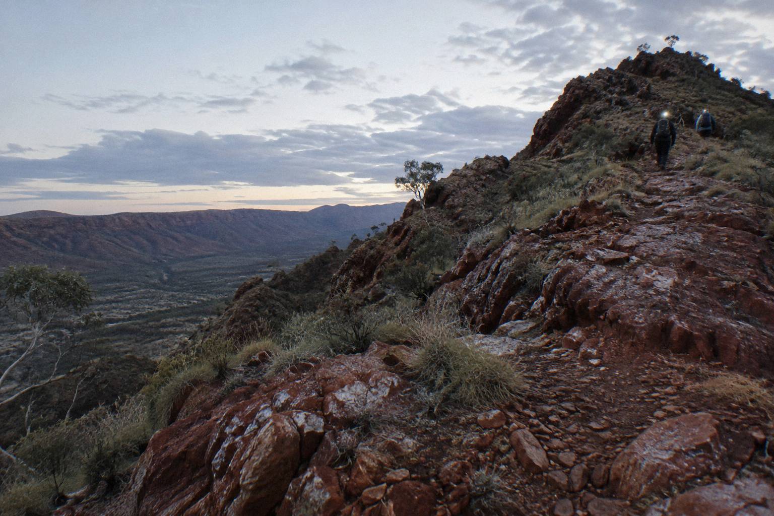
Section 12 is the shortest way to stand on the fourth highest peak in the Northern Territory, and most walkers do it as an out-and-back from the Redbank car park rather than arriving along the whole trail. Fifteen kilometres return with about six hours of recommended walking time puts it firmly in the day-hike-with-an-early-start category, not a stroll. Grade 4 means rough track surfaces, steep sections and a degree of bushwalking experience assumed.
The tradition among trekkers is the sunrise climb. Mount Sonder's western face catches the first light, and the ridge silhouette is one of the most photographed in Central Australia. An alpine start in the dark, with headtorches and layers, is normal practice in the walking season. The NT safety guidance applies with force up there: carry and drink plenty of water, avoid strenuous activity in the heat of the day, and never rely on a mobile phone, since official advice for the trail is to carry a satellite phone or personal locator beacon and not to walk alone.
Section 12 does not stand alone. Walkers arriving from the east come through section 11 first, and the two together form the classic far-end pair of the Larapinta Trail.
| Larapinta section | Route | Distance | Recommended time | Grade |
|---|---|---|---|---|
| 11 | Finke River to Redbank Gorge | 26.3 km | 9.5 hours | 5 |
| 12 | Redbank Gorge to Mount Sonder return | 15 km | 6 hours | 4 |
Section 11 is the harder of the two on paper: 26.3 km of Grade 5 track from the Finke River, which the trail reaches via a 4.5 km walking track from Glen Helen. Most independent walkers split the Larapinta's 12 sections across 12 to 20 days, booking each night's campground online in advance, because trail walking fees and camp spots must be paid for through the parks booking system before you go. There are 26 designated category B campgrounds along the trail plus a private one at Standley Chasm, and fuel stoves or the free barbecues only are permitted, no open fires.
For anyone weighing the full trail against a supported version, the guided Larapinta walking options compared set out the differences, and the question of how hard the Larapinta Trail hike really is gets a straight answer in its own write-up. The five-day safari trek above covers a taste of the trail without committing to a fortnight.
Is The Redbank Gorge Waterhole Safe For Swimming?
The Redbank waterhole is swimmable and holds water almost year round, but it is cold, and the official guidance recommends a flotation device for swimming there. Most waterholes in this park are extremely cold, swimming is only permitted where signs allow, and flash floods and storms are a real hazard in the gorge systems.
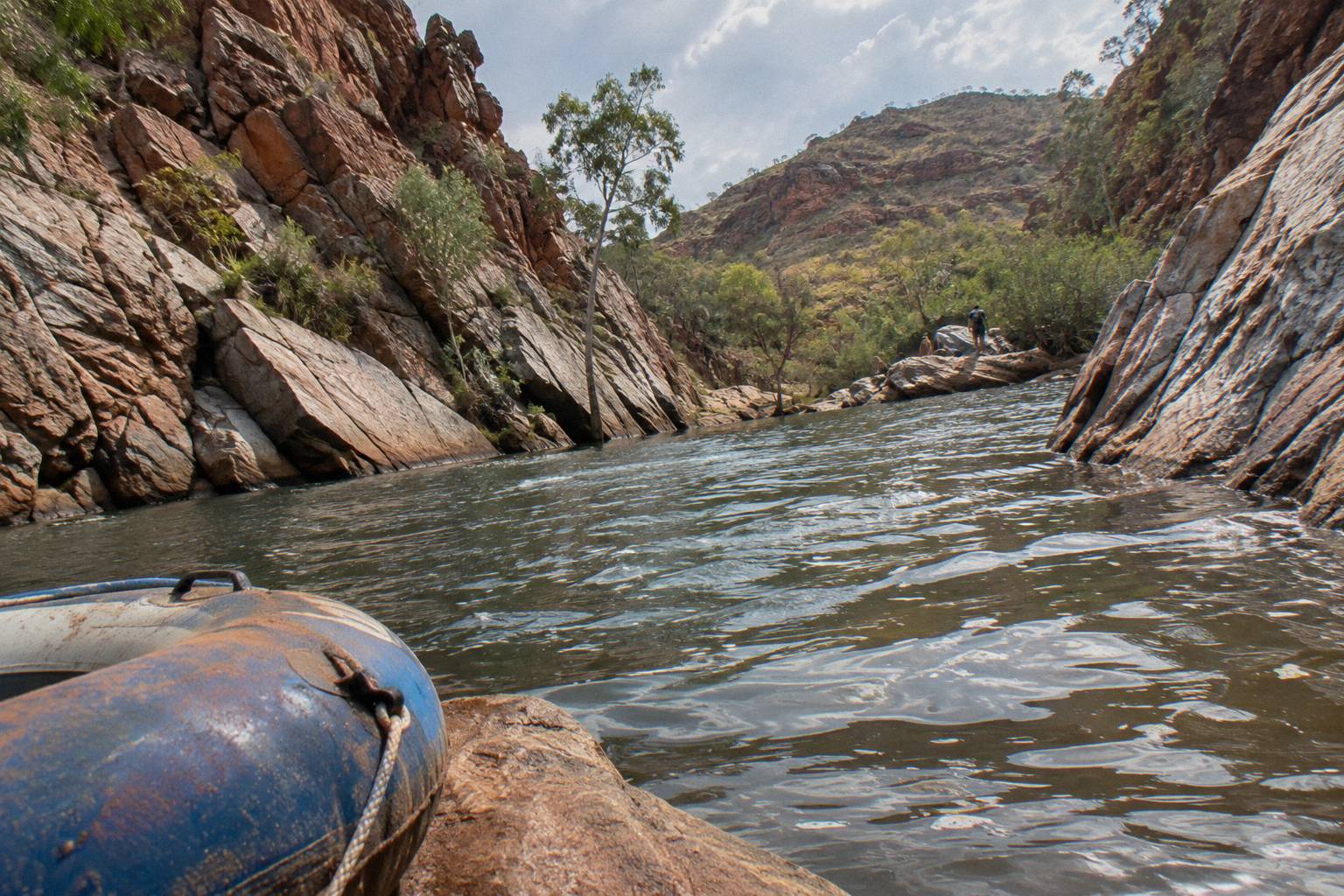
The cold is not a figure of speech. Even in the height of the Central Australian summer, the deep shaded waterholes of the West MacDonnells stay startlingly cold, and the park's swimming guidance says so directly. At Ormiston Gorge, for comparison, the waterhole reaches up to 14 m deep at its southern end and carries a hypothermia risk even in summer. Redbank's waterhole is smaller, but the same physics applies to a swim of any length, which is why the flotation device recommendation exists. A noodle or a dry bag used as buoyancy lets you float without full immersion of the head and chest for long periods.
Jumping and diving are banned at several of the park's waterholes for the same reason the water is cold: invisible depth and submerged rock. Check signage at Redbank on the day. And gorges are flood channels, so if storms are building, get out and up, because flash floods arrive faster than walkers can react. The official swimming page for the park collects the rules in one place: swimming in Tjoritja / West MacDonnell National Park.
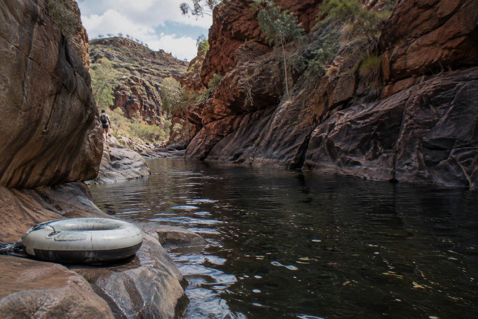
If a swim is central to your day trip plans rather than a far-end bonus, note that the closer waterholes are the practical ones. Ellery Creek Big Hole has a permanent waterhole a five minute walk from its car park, ideal for swimming though extremely cold, with no jumping, diving or swinging. The round-up of swimming holes across the West MacDonnell Ranges compares them all, including the cold-water details that decide which suits a quick dip.
What Are The Redbank Campgrounds Like?
Redbank has two category B campgrounds, Ridgetop and Woodland, with Woodland the only one admitting caravans. Campsites must be booked and paid for online in advance, because payment at the park is not possible, and camping and walking fees sit on top of the NT Parks Visitor Pass.
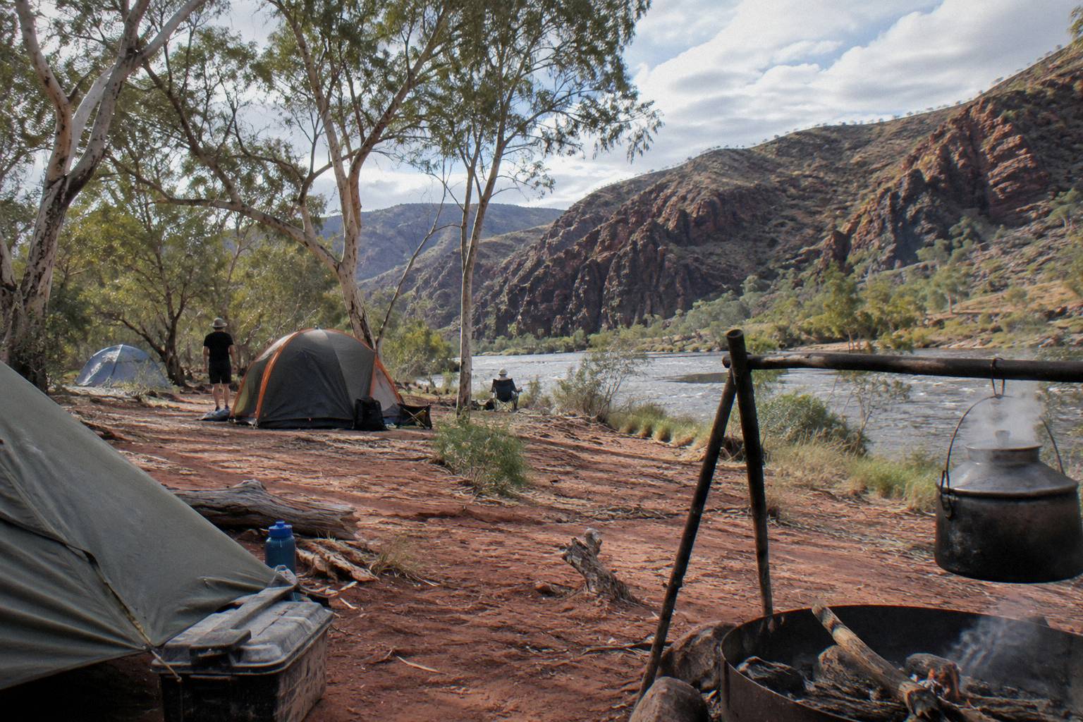
Category B in NT Parks language means basic facilities: a defined camp area, toilets, usually tables and a barbecue of some kind, but no powered sites and no shop. Ridgetop, as the name suggests, sits higher with long-range views, while Woodland sits lower among the trees and takes all vehicle types including caravans, which matters if you are towing out from Alice Springs. Both book out in the April to September walking season, particularly around the Mount Sonder sunrise traffic.
The booking mechanics catch people out. The NT Parks Visitor Pass, required for all non-resident visitors, is sold online only, logged in to the parks booking system, and camping plus Larapinta walking fees are extra line items on top. An adult 2-week pass costs AU$30; the 1-day pass is AU$10 and the annual pass AU$60, with concession and family rates available. Plan the pass around the length of your stay, and note that the visitor pass page spells out the resident exemption for NT locals, who may be asked for proof.
On tour, none of this is your problem, which is part of what you are paying for. The 3-day and 4-day camping trips include all national park entry fees in their headline price, and the permanent campsite infrastructure, cooking gear and guides travel with the group. Independent campers should carry water treatment, because park water supplies where marked are boil-before-drinking at several sites, and the nearest full facilities are back toward Glen Helen, which has a restaurant, food and refreshments.
When Is The Best Time To Visit The Far End?
The cooler months from April to September are the walking season for this end of the park, and the NT advises that temperatures can exceed 40 °C between October and April, when the official guidance is to walk only in the morning and late afternoon. Tours run year round, but summer itineraries shift around the heat of the day.
That seasonal split is not advisory fluff. The Larapinta guidance tells walkers to restrict activity to mornings and late afternoons in the hot months, to not walk alone, and to carry a satellite phone or personal locator beacon rather than depend on mobile coverage. Mount Sonder at 15 km return is exactly the kind of walk that turns dangerous when a 40-degree day arrives earlier than forecast, so the official Larapinta sections page, which grades every leg, is worth a read before committing. The Bureau of Meteorology's heatwave warnings are the check to run in the week before any summer walk.
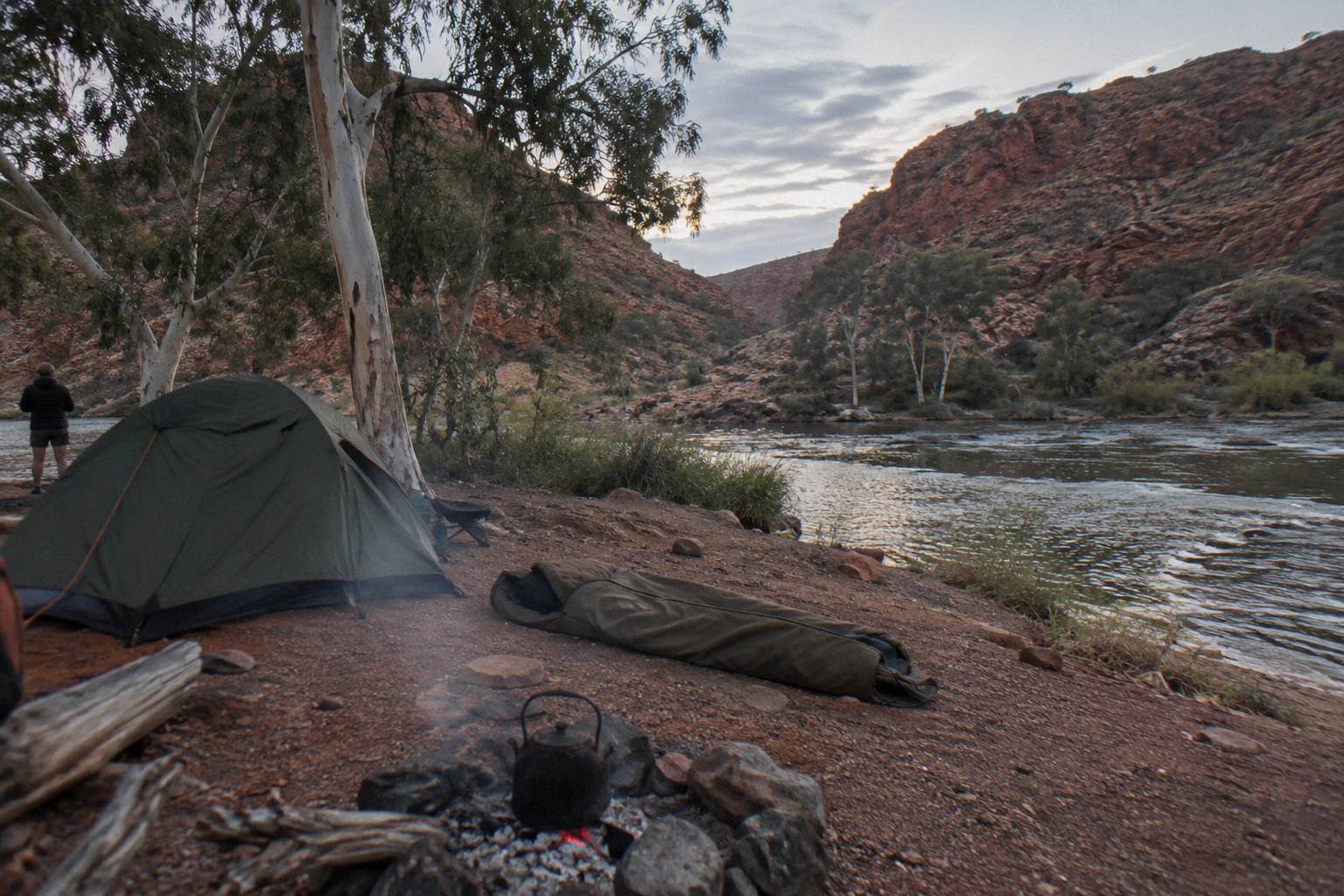
Rain cuts the other way. There are no official wet season dates for this park, but the Ellery Creek page notes that roads can be impassable for a short period after heavy rain, and Redbank's final 5 km is the most fragile link in the chain. This is the scenario the operator flexibility clauses exist for: tours reroute or substitute, and trekkers re-plan. Alice Springs nights also get genuinely cold in the winter months, a detail that surprises visitors packing for the desert; the question of whether Alice Springs gets cold at night on a gorge tour deserves a look before you pack a swag or a tent.
Planning Checklist For A Redbank Gorge Trip
The essentials are a 4WD plan or a tour booking, an online NT Parks Visitor Pass bought before arrival, campsite bookings if staying overnight, and a realistic view of the 156 km drive plus the 2 km gorge walk and the 15 km Mount Sonder option if you are climbing. Water, sun protection and a beacon cover the rest.
Run through this before you commit.
| Item | What to decide | Where it stands |
|---|---|---|
| Transport | Own 4WD vs tour vs trek | Last 5 km is 4WD only |
| Pass | NT Parks Visitor Pass | Online only, from AU$10 adult per day |
| Camping | Ridgetop or Woodland | Book and pay online, no payment at park |
| Walks | Gorge walk 2 km, Sonder 15 km | 1.5 hours vs 6 hours, Grade 4 |
| Season | April to September preferred | Heat above 40 °C possible October to April |
| Swimming | Flotation device, check signs | Waterhole cold, floods possible |
The pattern across all of this is that the far end rewards commitment. A day visitor cannot reach it; a three-day camper can; a trekker earns it one section at a time. Whichever route you take, the fundamentals do not change: the pass, the booking, the water and the early starts.
Common Questions About Redbank Gorge And Mount Sonder
Can You Get To Redbank Gorge In A Normal Car?
No. The last 5 km of access road is unsealed and rated high clearance 4WD only, and roads in the park can be impassable for a short period after heavy rain. A standard rental or 2WD should stop at Glen Helen or Ormiston and continue on a 4WD tour.
Can You Reach Redbank Gorge On A Day Tour From Alice Springs?
No day tour on this roster reaches Redbank Gorge. It is 156 km west of Alice Springs with a 4WD-only final approach, so it appears only on multi-day 4WD camping itineraries, from AU$896 per person with park entry included.
How Long Is The Mount Sonder Walk?
Larapinta Trail section 12, Redbank Gorge to Mount Sonder and back, is 15 km, takes about 6 hours and is graded 4. Most walkers start before dawn to catch sunrise from the summit ridge.
Can You Swim At Redbank Gorge?
Yes, where signs permit. The waterhole is almost permanent and lies about 1 km from the car park, but it is cold and a flotation device is recommended. Watch for storms, since flash floods are a hazard in all the gorges.
Do You Need To Book Camping At Redbank Gorge?
Yes. Both campgrounds, Ridgetop and Woodland, must be booked and paid for online in advance; you cannot pay at the park. Woodland is the only one that takes caravans.
What Does The NT Parks Visitor Pass Cost?
For adults it is AU$10 for one day, AU$20 for three days, AU$30 for two weeks, AU$45 for one month and AU$60 for a year, with child, family and concession rates also available. It is sold online only, and camping and Larapinta walking fees are extra.